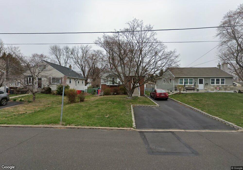
265 Maple St Warminster, PA 18974
Estimated Value: $327,000 - $383,000
2
Beds
1
Bath
1,092
Sq Ft
$327/Sq Ft
Est. Value
About This Home
This home is located at 265 Maple St, Warminster, PA 18974 and is currently estimated at $357,508, approximately $327 per square foot. 265 Maple St is a home located in Bucks County with nearby schools including McDonald Elementary School, Log College Middle School, and William Tennent High School.
Ownership History
Date
Name
Owned For
Owner Type
Purchase Details
Closed on
May 6, 2021
Sold by
Spaeter Gregory and Knorr Kimberly
Bought by
Spaeter Gregory and Spaeter Kimberly
Current Estimated Value
Home Financials for this Owner
Home Financials are based on the most recent Mortgage that was taken out on this home.
Original Mortgage
$223,000
Outstanding Balance
$202,094
Interest Rate
3.1%
Mortgage Type
New Conventional
Estimated Equity
$155,414
Purchase Details
Closed on
Sep 29, 1994
Sold by
Reiss Emil W and Reiss Edna H
Bought by
Smith Stephen and Smith Deborah
Home Financials for this Owner
Home Financials are based on the most recent Mortgage that was taken out on this home.
Original Mortgage
$1,025
Interest Rate
8.55%
Mortgage Type
Assumption
Purchase Details
Closed on
Oct 26, 1976
Bought by
Reiss Emil W and Reiss Edna H
Create a Home Valuation Report for This Property
The Home Valuation Report is an in-depth analysis detailing your home's value as well as a comparison with similar homes in the area
Home Values in the Area
Average Home Value in this Area
Purchase History
| Date | Buyer | Sale Price | Title Company |
|---|---|---|---|
| Spaeter Gregory | -- | Alpert Abstract Llc | |
| Smith Stephen | $125,000 | -- | |
| Reiss Emil W | -- | -- |
Source: Public Records
Mortgage History
| Date | Status | Borrower | Loan Amount |
|---|---|---|---|
| Open | Spaeter Gregory | $223,000 | |
| Closed | Smith Stephen | $1,025 |
Source: Public Records
Tax History
| Year | Tax Paid | Tax Assessment Tax Assessment Total Assessment is a certain percentage of the fair market value that is determined by local assessors to be the total taxable value of land and additions on the property. | Land | Improvement |
|---|---|---|---|---|
| 2025 | $3,293 | $15,600 | $2,920 | $12,680 |
| 2024 | $3,293 | $15,600 | $2,920 | $12,680 |
| 2023 | $3,191 | $15,600 | $2,920 | $12,680 |
| 2022 | $3,123 | $15,600 | $2,920 | $12,680 |
| 2021 | $3,050 | $15,600 | $2,920 | $12,680 |
| 2020 | $3,007 | $15,600 | $2,920 | $12,680 |
| 2019 | $2,848 | $15,600 | $2,920 | $12,680 |
| 2018 | $2,780 | $15,600 | $2,920 | $12,680 |
| 2017 | $2,698 | $15,600 | $2,920 | $12,680 |
| 2016 | -- | $15,600 | $2,920 | $12,680 |
| 2015 | $2,719 | $15,600 | $2,920 | $12,680 |
| 2014 | $2,719 | $15,600 | $2,920 | $12,680 |
Source: Public Records
Map
Nearby Homes
- 306 Grape St
- 505 Orchard Ave
- 130 E Street Rd
- 485 4th Ave
- Lot 15 Kennedy Way
- 473 3rd Ave
- 0 York Rd
- 641 Whittier Dr
- 746 Spruce Rd
- 632 Longfellow Ct
- 630 Whittier Dr
- 106 Yorkshire Way
- 854 Phillips Rd
- 299 Ann Ln
- 8203 Centennial Station Unit 8203
- 9000 Centennial Station Unit 9000
- 8109 Centennial Station Unit 8109
- 9108 Centennial Station Unit 910
- 484 Rowan St
- 485 Rowan St
Your Personal Tour Guide
Ask me questions while you tour the home.