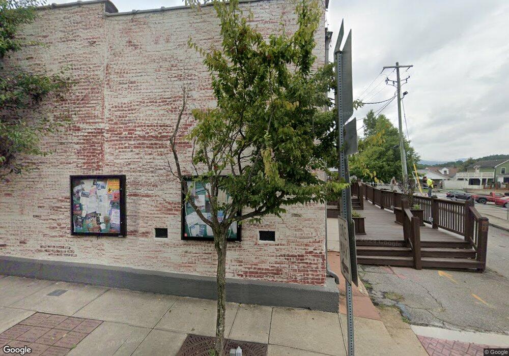
265 Marys Way Ellijay, GA 30540
Estimated Value: $232,000 - $267,000
2
Beds
2
Baths
792
Sq Ft
$319/Sq Ft
Est. Value
About This Home
This home is located at 265 Marys Way, Ellijay, GA 30540 and is currently estimated at $252,873, approximately $319 per square foot. 265 Marys Way is a home located in Gilmer County with nearby schools including Mountain View Elementary School, Gilmer Middle School, and Clear Creek Middle School.
Ownership History
Date
Name
Owned For
Owner Type
Purchase Details
Closed on
Feb 23, 2010
Sold by
Wells Fargo Bank Na
Bought by
Paradowski Eva V M and Kircheisen Andreas
Current Estimated Value
Purchase Details
Closed on
Oct 6, 2009
Sold by
Maliszewski Mary
Bought by
Wells Fargo Bank Na
Purchase Details
Closed on
Jul 19, 2004
Sold by
Shotsy Junction Inc
Bought by
Maliszewski Mary
Purchase Details
Closed on
Oct 17, 2003
Sold by
Maliszewski Mary
Bought by
Shotsy Junction Inc
Create a Home Valuation Report for This Property
The Home Valuation Report is an in-depth analysis detailing your home's value as well as a comparison with similar homes in the area
Home Values in the Area
Average Home Value in this Area
Purchase History
| Date | Buyer | Sale Price | Title Company |
|---|---|---|---|
| Paradowski Eva V M | $36,900 | -- | |
| Wells Fargo Bank Na | $69,600 | -- | |
| Wells Fargo Bank Na | $69,582 | -- | |
| Maliszewski Mary | -- | -- | |
| Shotsy Junction Inc | -- | -- |
Source: Public Records
Tax History Compared to Growth
Tax History
| Year | Tax Paid | Tax Assessment Tax Assessment Total Assessment is a certain percentage of the fair market value that is determined by local assessors to be the total taxable value of land and additions on the property. | Land | Improvement |
|---|---|---|---|---|
| 2024 | $1,145 | $73,880 | $6,840 | $67,040 |
| 2023 | $1,125 | $70,360 | $6,840 | $63,520 |
| 2022 | $1,012 | $57,520 | $6,840 | $50,680 |
| 2021 | $901 | $45,400 | $6,120 | $39,280 |
| 2020 | $759 | $34,520 | $6,120 | $28,400 |
| 2019 | $744 | $32,840 | $4,440 | $28,400 |
| 2018 | $752 | $32,760 | $4,360 | $28,400 |
| 2017 | $676 | $27,480 | $4,360 | $23,120 |
| 2016 | $733 | $29,200 | $5,800 | $23,400 |
| 2015 | $655 | $26,560 | $3,600 | $22,960 |
| 2014 | $622 | $24,280 | $3,600 | $20,680 |
| 2013 | -- | $24,760 | $3,600 | $21,160 |
Source: Public Records
Map
Nearby Homes
- 0 Lakeland Dr Unit 404673
- 13.59 AC Ridgeway Church Rd
- 720 Lakeland Dr
- LT 17B Lakeland Dr
- LT 3 Hunter Ridge
- LT 4 Hunter Ridge
- 165 Hunter Ridge
- 663 Lakeland Dr
- 1765 Nugget Ln
- 36 Mountain Top Ln
- 485 Banner Cir
- 2697 Brushy Top Rd
- 0 Woodring Branch Rd Unit 110013 10587778
- 0 Woodring Branch Rd Unit 110013 7381234
- LT 720 Morton Dr
- 340 Morton Dr
- 870 Morton Dr
- 14 Honeysuckle Way
- LT 54 Honeysuckle Way
- LTS 61 & 62 Honeysuckle Way
- LOT14 Redwood Ln
- 175 Redwood Ln
- 0 Red Oak Trail Unit 141 8355902
- 0 Red Oak Trail Unit 5985302
- 0 Red Oak Trail Unit 8232441
- 0 Redwood Ln Unit 3266995
- 0 Red Oak Ln
- 0 Red Oak Trail Unit 7254579
- 0 Red Oak Trail Unit 7285908
- 0 Redwood Ln Unit 3 10AC 7374493
- 0 Red Oak Trail Unit 122 7392658
- 00 Redwood Ln
- 0 Redwood Ln
- 00 Red Oak Trail
- 0 Red Oak Trail Unit 5303694
- 000 Red Oak Trail
- 0 Red Oak Trail Unit 314688
- 0 Red Oak Ln Unit 7163887
- 0 Red Oak Trail Unit 139
- 0 Redwood Ln Unit Tracts 14,16,17
