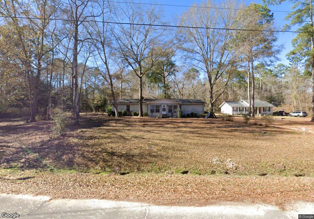
265 Melanie Ln SW Poulan, GA 31781
Estimated Value: $79,000 - $134,000
3
Beds
2
Baths
1,344
Sq Ft
$81/Sq Ft
Est. Value
About This Home
This home is located at 265 Melanie Ln SW, Poulan, GA 31781 and is currently estimated at $108,392, approximately $80 per square foot. 265 Melanie Ln SW is a home located in Worth County with nearby schools including Worth County Primary School, Worth County Elementary School, and Worth County Middle School.
Ownership History
Date
Name
Owned For
Owner Type
Purchase Details
Closed on
Dec 22, 2014
Sold by
Dixon Joshua Cale
Bought by
Dixon Joshua Cale and Dixon Anna Marie
Current Estimated Value
Home Financials for this Owner
Home Financials are based on the most recent Mortgage that was taken out on this home.
Original Mortgage
$39,275
Outstanding Balance
$29,323
Interest Rate
3.25%
Mortgage Type
FHA
Estimated Equity
$79,069
Purchase Details
Closed on
Feb 19, 2014
Sold by
Jones Christopher
Bought by
Jones Marion E
Create a Home Valuation Report for This Property
The Home Valuation Report is an in-depth analysis detailing your home's value as well as a comparison with similar homes in the area
Home Values in the Area
Average Home Value in this Area
Purchase History
| Date | Buyer | Sale Price | Title Company |
|---|---|---|---|
| Dixon Joshua Cale | -- | -- | |
| Dixon Joshua Cale | $40,000 | -- | |
| Jones Marion E | -- | -- |
Source: Public Records
Mortgage History
| Date | Status | Borrower | Loan Amount |
|---|---|---|---|
| Open | Dixon Joshua Cale | $39,275 | |
| Closed | Dixon Joshua Cale | $39,275 |
Source: Public Records
Tax History Compared to Growth
Tax History
| Year | Tax Paid | Tax Assessment Tax Assessment Total Assessment is a certain percentage of the fair market value that is determined by local assessors to be the total taxable value of land and additions on the property. | Land | Improvement |
|---|---|---|---|---|
| 2024 | $575 | $18,540 | $1,534 | $17,006 |
| 2023 | $575 | $18,540 | $1,534 | $17,006 |
| 2022 | $569 | $18,334 | $1,534 | $16,800 |
| 2021 | $569 | $18,334 | $1,534 | $16,800 |
| 2020 | $570 | $18,334 | $1,534 | $16,800 |
| 2019 | $570 | $18,334 | $1,534 | $16,800 |
| 2018 | $626 | $18,334 | $1,534 | $16,800 |
| 2017 | $626 | $18,334 | $1,534 | $16,800 |
| 2016 | $570 | $18,334 | $1,534 | $16,800 |
| 2015 | $491 | $30,332 | $1,534 | $28,798 |
| 2014 | $981 | $16,000 | $809 | $15,191 |
| 2013 | -- | $30,332 | $1,534 | $28,798 |
| 2012 | -- | $30,332 | $1,534 | $28,798 |
Source: Public Records
Map
Nearby Homes
- 0 P T Salter Rd Unit 138997
- 565 Sands Dr Unit 8
- 565 Sands Dr
- 0 Sands Dr
- 376 West Rd
- 196 Griffin Houston Rd
- 302 Sadler St
- 314 E Hobson St
- 0 Multiple Lots Unit 138826
- 107 Dunbar Cir
- 307 E Hobson St
- 103 Dunbar Cir
- 202A E Welch St
- 101 Pecan St
- 000 Georgia 256
- 106 Rosewood Dr
- 0 Ga Hwy 82 Unit 913408
- 202 N Westberry St
- 402 N McPhaul St
- 104 Lynn Cir
- 261 Melanie Ln SW
- 245 Melanie Ln SW
- 136 Lyndon Cir
- 120 Lyndon Cir
- 222 Melanie Ln SW
- 131 Lyndon Cir
- 270 Ford St
- 115 Lyndon Cir
- 254 Ford St SW
- 286 Ford St SW
- 124 Mount Zion Rd
- 206 Lyndsey Cir SW
- 162 Lyndsey Cir SW
- 230 Ford St SW
- 134 Lyndsey Cir SW
- 208 Ford St SW
- 118 Mount Zion Rd
- 418 Elm St NW
- 466 Carter St SW
- 348 Pecan St SW