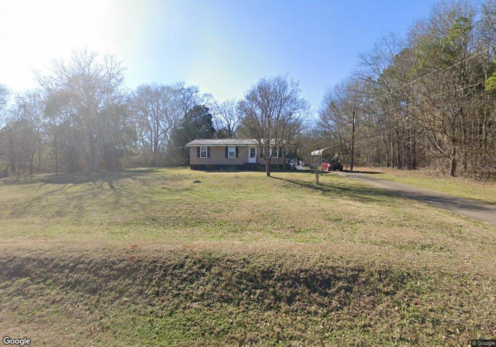
265 N Fifth Ave Carlton, GA 30627
Estimated Value: $78,122 - $251,000
--
Bed
1
Bath
960
Sq Ft
$148/Sq Ft
Est. Value
About This Home
This home is located at 265 N Fifth Ave, Carlton, GA 30627 and is currently estimated at $142,031, approximately $147 per square foot. 265 N Fifth Ave is a home located in Madison County with nearby schools including Madison County High School.
Ownership History
Date
Name
Owned For
Owner Type
Purchase Details
Closed on
Feb 6, 2009
Sold by
Davenport Virgus
Bought by
Barnett Isaih Charlie
Current Estimated Value
Home Financials for this Owner
Home Financials are based on the most recent Mortgage that was taken out on this home.
Original Mortgage
$35,716
Interest Rate
5.07%
Mortgage Type
Future Advance Clause Open End Mortgage
Purchase Details
Closed on
Oct 20, 2004
Sold by
Edward Sebell Maddox
Bought by
Davenport Virgus
Purchase Details
Closed on
Jan 1, 1975
Bought by
Edward Sebell Maddox
Create a Home Valuation Report for This Property
The Home Valuation Report is an in-depth analysis detailing your home's value as well as a comparison with similar homes in the area
Home Values in the Area
Average Home Value in this Area
Purchase History
| Date | Buyer | Sale Price | Title Company |
|---|---|---|---|
| Barnett Isaih Charlie | $27,000 | -- | |
| Davenport Virgus | $23,000 | -- | |
| Edward Sebell Maddox | -- | -- |
Source: Public Records
Mortgage History
| Date | Status | Borrower | Loan Amount |
|---|---|---|---|
| Closed | Barnett Isaih Charlie | $35,716 |
Source: Public Records
Tax History Compared to Growth
Tax History
| Year | Tax Paid | Tax Assessment Tax Assessment Total Assessment is a certain percentage of the fair market value that is determined by local assessors to be the total taxable value of land and additions on the property. | Land | Improvement |
|---|---|---|---|---|
| 2025 | -- | $30,713 | $9,331 | $21,382 |
| 2024 | $477 | $14,000 | $3,401 | $10,599 |
| 2023 | $477 | $14,000 | $3,401 | $10,599 |
| 2022 | $49 | $14,000 | $3,401 | $10,599 |
| 2021 | $32 | $16,128 | $5,348 | $10,780 |
| 2020 | $203 | $15,350 | $4,570 | $10,780 |
| 2019 | $248 | $16,584 | $5,028 | $11,556 |
| 2018 | $221 | $15,776 | $4,600 | $11,176 |
| 2017 | $472 | $14,662 | $3,888 | $10,774 |
| 2016 | $100 | $12,403 | $3,534 | $8,869 |
| 2015 | $312 | $12,403 | $3,534 | $8,869 |
| 2014 | $216 | $9,180 | $3,419 | $5,762 |
| 2013 | -- | $9,180 | $3,419 | $5,762 |
Source: Public Records
Map
Nearby Homes
- 6367 Highway 72 E
- 6476 Georgia 72
- 670 S Railroad Ave
- 667 Paoli Rd
- 724 Bertha Willis Rd
- 376 Paoli Rd
- 88 S Railroad Ave
- 0 Broad River Rd Unit 10650042
- 3614 Georgia 72
- 00 River Rd
- 0 Berkley Rd Unit 10545423
- 0 River Rd Unit 10639917
- 600 Piney Grove Rd
- 730 Osley Mill Rd
- 1163 Nickville Rd
- 474 Watson Mill
- 490 Watson Mill
- 5 Watson Mill
- 4 Watson Mill
- 6 Watson Mill
- 176 N Fifth Ave
- 360 N Seventh St
- 77 N 7th St
- 320 N Seventh St
- 320 N 7th St
- 10 Highway 72 E
- 0 7th St
- 115 N Fifth Ave
- N N 7th St
- 98 N Fifth Ave
- 104 N Fifth Ave
- 0 N Fifth St Unit 3128594
- 0 N Fifth St Unit CM924193
- 96 N Seventh St
- 105 N Seventh St
- 169 N 7th St
- 105 N 7th St
- 169 N Seventh St
- 21 Fifth Ave
- 5869 Hwy 72e