265 Powerbilt Ave Unit 2 Las Vegas, NV 89148
Rhodes Ranch NeighborhoodEstimated Value: $706,000 - $763,000
4
Beds
3
Baths
2,850
Sq Ft
$255/Sq Ft
Est. Value
About This Home
This home is located at 265 Powerbilt Ave Unit 2, Las Vegas, NV 89148 and is currently estimated at $726,582, approximately $254 per square foot. 265 Powerbilt Ave Unit 2 is a home located in Clark County with nearby schools including Don and Dee Snyder Elementary School, Wilbur & Theresa Faiss Middle School, and Sierra Vista High School.
Ownership History
Date
Name
Owned For
Owner Type
Purchase Details
Closed on
Oct 31, 2001
Sold by
Astoria Rr 15 Llc
Bought by
Sheldon Alan G and Hannah Pam
Current Estimated Value
Home Financials for this Owner
Home Financials are based on the most recent Mortgage that was taken out on this home.
Original Mortgage
$231,336
Outstanding Balance
$91,217
Interest Rate
6.84%
Estimated Equity
$635,365
Create a Home Valuation Report for This Property
The Home Valuation Report is an in-depth analysis detailing your home's value as well as a comparison with similar homes in the area
Home Values in the Area
Average Home Value in this Area
Purchase History
| Date | Buyer | Sale Price | Title Company |
|---|---|---|---|
| Sheldon Alan G | $289,170 | First American Title Co |
Source: Public Records
Mortgage History
| Date | Status | Borrower | Loan Amount |
|---|---|---|---|
| Open | Sheldon Alan G | $231,336 |
Source: Public Records
Tax History Compared to Growth
Tax History
| Year | Tax Paid | Tax Assessment Tax Assessment Total Assessment is a certain percentage of the fair market value that is determined by local assessors to be the total taxable value of land and additions on the property. | Land | Improvement |
|---|---|---|---|---|
| 2025 | $3,608 | $171,658 | $66,990 | $104,668 |
| 2024 | $3,504 | $171,658 | $66,990 | $104,668 |
| 2023 | $3,504 | $156,659 | $57,855 | $98,804 |
| 2022 | $2,859 | $143,551 | $53,288 | $90,263 |
| 2021 | $3,303 | $135,259 | $49,735 | $85,524 |
| 2020 | $3,204 | $134,464 | $49,735 | $84,729 |
| 2019 | $3,110 | $129,269 | $45,675 | $83,594 |
| 2018 | $3,020 | $120,475 | $40,600 | $79,875 |
| 2017 | $3,583 | $121,492 | $41,195 | $80,297 |
| 2016 | $2,859 | $115,291 | $33,705 | $81,586 |
| 2015 | $2,854 | $104,687 | $24,343 | $80,344 |
| 2014 | $2,770 | $92,615 | $18,725 | $73,890 |
Source: Public Records
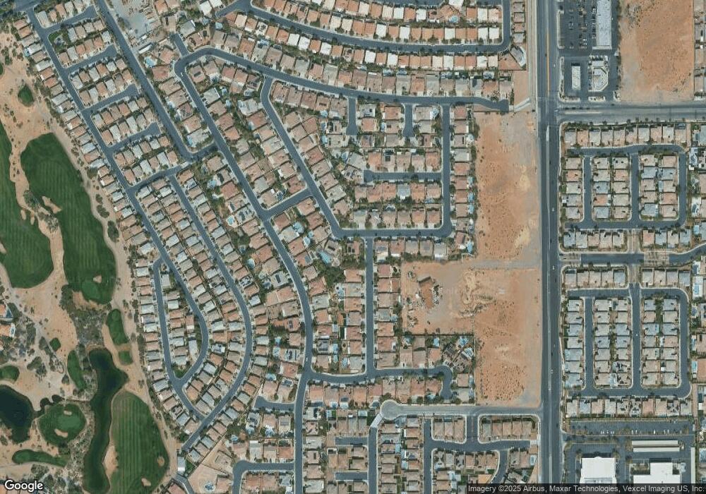
Map
Nearby Homes
- 553 Sinfold Park St
- 442 Dynacraft St
- 576 Foster Springs Rd
- 8217 Aster Meadow Way
- 8717 Bando Dr
- 8711 Bando Dr
- 265 Blackstone River Ave
- 8233 Sweetwater Creek Way
- 8418 Sycamore Creek St
- 8429 Sycamore Creek St
- 8424 Sycamore Creek St
- Plan 2358A at Durango Ridge
- Plan 2040A at Durango Ridge
- Plan 1908A at Durango Ridge
- 315 Foster Springs Rd
- 8442 Sycamore Creek St
- 8448 Sycamore Creek St
- 8377 Sweetwater Creek Way
- 72 Broken Putter Way
- 311 Turtle Peak Ave
- 499 Dynacraft St
- 503 Sinfold Park St
- 264 Powerbilt Ave
- 513 Sinfold Park St
- 491 Dynacraft St
- 500 Sinfold Park St
- 274 Powerbilt Ave
- 291 Powerbilt Ave
- 502 Fynn Valley Dr
- 510 Sinfold Park St
- 496 Fynn Valley Dr Unit 2
- 512 Fynn Valley Dr Unit 2
- 483 Dynacraft St
- 523 Sinfold Park St
- 284 Powerbilt Ave
- 490 Fynn Valley Dr
- 522 Fynn Valley Dr Unit 2
- 520 Sinfold Park St
- 321 Powerbilt Ave
- 263 Parisian Springs Ct Unit 2