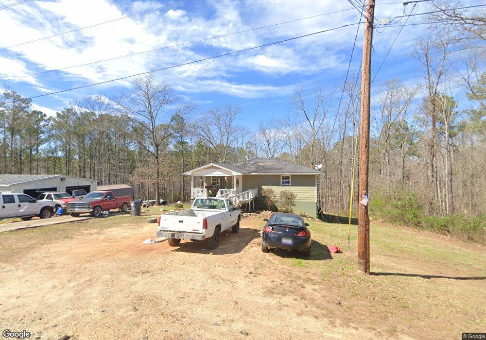
265 Ray St Tallapoosa, GA 30176
Estimated Value: $156,000 - $187,667
4
Beds
3
Baths
1,008
Sq Ft
$173/Sq Ft
Est. Value
About This Home
This home is located at 265 Ray St, Tallapoosa, GA 30176 and is currently estimated at $174,417, approximately $173 per square foot. 265 Ray St is a home located in Haralson County with nearby schools including Haralson County High School.
Ownership History
Date
Name
Owned For
Owner Type
Purchase Details
Closed on
Oct 24, 2008
Sold by
Not Provided
Bought by
Copley Kimberly Dawn
Current Estimated Value
Purchase Details
Closed on
Oct 23, 2008
Sold by
Not Provided
Bought by
Copley Kimberly Dawn
Purchase Details
Closed on
Mar 4, 2008
Sold by
Not Provided
Bought by
Copley Kimberly Dawn
Purchase Details
Closed on
Jun 19, 2006
Sold by
Newman Thomas Ray
Bought by
Bagley Scott
Purchase Details
Closed on
Jun 30, 2000
Sold by
Newman Thomas Ray
Bought by
Newman Thomas Ray
Create a Home Valuation Report for This Property
The Home Valuation Report is an in-depth analysis detailing your home's value as well as a comparison with similar homes in the area
Home Values in the Area
Average Home Value in this Area
Purchase History
| Date | Buyer | Sale Price | Title Company |
|---|---|---|---|
| Copley Kimberly Dawn | $40,000 | -- | |
| Copley Kimberly Dawn | -- | -- | |
| Copley Kimberly Dawn | -- | -- | |
| Copley Kimberly Dawn | -- | -- | |
| Bagley Scott | $80,000 | -- | |
| Newman Thomas Ray | -- | -- |
Source: Public Records
Tax History Compared to Growth
Tax History
| Year | Tax Paid | Tax Assessment Tax Assessment Total Assessment is a certain percentage of the fair market value that is determined by local assessors to be the total taxable value of land and additions on the property. | Land | Improvement |
|---|---|---|---|---|
| 2024 | $853 | $28,661 | $6,000 | $22,661 |
| 2023 | $322 | $31,431 | $6,000 | $25,431 |
| 2022 | $633 | $26,504 | $6,000 | $20,504 |
| 2021 | $629 | $25,348 | $6,000 | $19,348 |
| 2020 | $664 | $26,538 | $6,000 | $20,538 |
| 2019 | $686 | $26,438 | $6,000 | $20,438 |
| 2018 | $694 | $26,438 | $6,000 | $20,438 |
| 2017 | $704 | $24,628 | $6,000 | $18,628 |
| 2016 | $791 | $29,141 | $6,000 | $23,141 |
| 2015 | $798 | $29,222 | $6,000 | $23,222 |
| 2014 | $873 | $30,942 | $7,600 | $23,342 |
Source: Public Records
Map
Nearby Homes
- 174 Faye St
- 194 Faye St
- 711 Kay St
- 0 Creek Dr Unit 148038
- 0 Cherokee Dr Unit 148037
- 871 Cherokee Dr
- 77 McDonald Rd
- --- Steadman #32 Rd
- 0 Steadman Rd Unit 10608314
- 622 Cedartown Ave
- 28 McDonald Ridge
- 0 N Ridge Dr Unit 7657923
- 0 N Ridge Dr Unit 10615294
- 35 James St
- 154 Bethany St
- 135 Oakland Ct
- --- Steadman Rd Unit 32
- 164 Berlin St
- 438 Bowdon St
- 110 Dunson Rd
- 272 Ray St
- 260 Ray St
- 240 Ray St
- 161 Faye St
- 233 Ray St
- 181 Faye St
- 11 Woodstream Ln
- 151 Faye St
- 106 Woodstream Dr
- 27 Woodstream Ln
- 193 Faye St
- 131 Faye St
- 221 Ray St
- 171 Faye St
- 171 Faye St
- 0 Faye St Unit 7242759
- 0 Faye St Unit 3261946
- 0 Faye St Unit 8386535
- 0 Faye St Unit 8249083
- 0 Faye St Unit 7150837