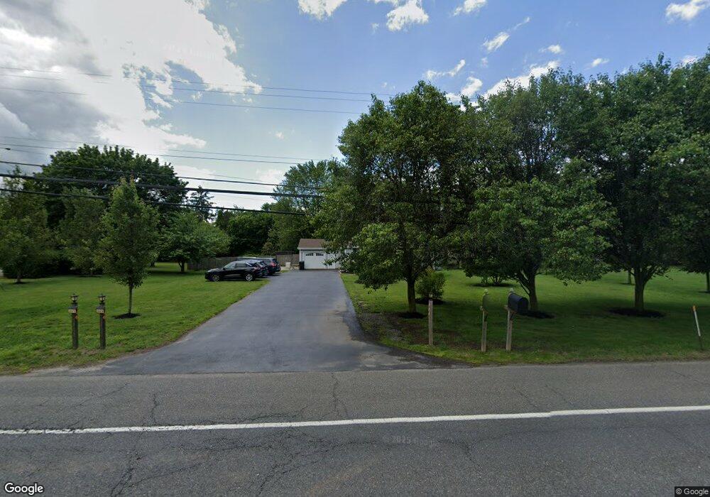
265 Route 539 Cream Ridge, NJ 08514
Estimated Value: $463,641 - $503,000
3
Beds
2
Baths
1,152
Sq Ft
$421/Sq Ft
Est. Value
About This Home
This home is located at 265 Route 539, Cream Ridge, NJ 08514 and is currently estimated at $484,660, approximately $420 per square foot. 265 Route 539 is a home located in Monmouth County with nearby schools including Newell Elementary School, Stonebridge Middle School, and Allentown High School.
Ownership History
Date
Name
Owned For
Owner Type
Purchase Details
Closed on
Jul 29, 2021
Sold by
Grinkevich Robin
Bought by
Grinkevich Robin and Moon Craig
Current Estimated Value
Home Financials for this Owner
Home Financials are based on the most recent Mortgage that was taken out on this home.
Original Mortgage
$293,000
Outstanding Balance
$266,825
Interest Rate
3%
Mortgage Type
New Conventional
Estimated Equity
$217,835
Purchase Details
Closed on
Aug 17, 2007
Sold by
Tilghman Ronald L and Tilghman Kerry L
Bought by
Grinkevich Robin
Home Financials for this Owner
Home Financials are based on the most recent Mortgage that was taken out on this home.
Original Mortgage
$318,155
Interest Rate
6.78%
Mortgage Type
Purchase Money Mortgage
Purchase Details
Closed on
Apr 22, 1997
Sold by
Woodruff Arthur
Bought by
Tilghman Ronald and Tilghman Kerry
Home Financials for this Owner
Home Financials are based on the most recent Mortgage that was taken out on this home.
Original Mortgage
$97,000
Interest Rate
7.85%
Create a Home Valuation Report for This Property
The Home Valuation Report is an in-depth analysis detailing your home's value as well as a comparison with similar homes in the area
Home Values in the Area
Average Home Value in this Area
Purchase History
| Date | Buyer | Sale Price | Title Company |
|---|---|---|---|
| Grinkevich Robin | -- | Green Label Title | |
| Grinkevich Robin | $334,900 | None Available | |
| Tilghman Ronald | $137,800 | -- |
Source: Public Records
Mortgage History
| Date | Status | Borrower | Loan Amount |
|---|---|---|---|
| Open | Grinkevich Robin | $293,000 | |
| Closed | Grinkevich Robin | $318,155 | |
| Previous Owner | Tilghman Ronald | $97,000 |
Source: Public Records
Tax History Compared to Growth
Tax History
| Year | Tax Paid | Tax Assessment Tax Assessment Total Assessment is a certain percentage of the fair market value that is determined by local assessors to be the total taxable value of land and additions on the property. | Land | Improvement |
|---|---|---|---|---|
| 2025 | $6,132 | $385,700 | $206,100 | $179,600 |
| 2024 | $5,815 | $284,400 | $103,900 | $180,500 |
| 2023 | $5,815 | $261,800 | $103,600 | $158,200 |
| 2022 | $5,364 | $237,100 | $86,400 | $150,700 |
| 2021 | $5,364 | $221,200 | $86,400 | $134,800 |
| 2020 | $5,345 | $221,400 | $86,400 | $135,000 |
| 2019 | $5,269 | $219,800 | $86,400 | $133,400 |
| 2018 | $5,204 | $213,900 | $86,400 | $127,500 |
| 2017 | $5,059 | $210,700 | $86,300 | $124,400 |
| 2016 | $4,924 | $207,600 | $86,300 | $121,300 |
| 2015 | $5,147 | $219,300 | $103,500 | $115,800 |
| 2014 | $4,528 | $194,400 | $96,600 | $97,800 |
Source: Public Records
Map
Nearby Homes
- 120 Jonathan Holmes Rd
- 18 Schoolhouse Rd
- 6 Cooper Ct
- 1111 County Road 539
- 113 Holmes Mill Rd
- 198 Burlington Path Rd
- 11 Victoria Ct
- 9 Arneytown Hornerstown Rd
- 10 Arneytown Hornerstown Rd
- 106 Holmes Mill Rd
- 17 Grant Dr
- 14 Main St
- 9 Main St
- 17 Stacy Dr
- 4 Cranberry Ct
- 3 Copperfield Dr
- 12 Copperfield Dr
- 9 Copperfield Dr
- 14 Tanglewood Dr
- 791 Monmouth Rd
- 267 Route 539
- 1 Schoolhouse Rd
- 3 Schoolhouse Rd
- 269 Route 539
- 310 Route 539
- 308 Route 539
- 0 Schoolhouse Rd
- 7 Schoolhouse Rd
- 4 Schoolhouse Rd
- 261 Route 539
- 9 Schoolhouse Rd
- 39 Schoolhouse Rd
- 6 Schoolhouse Rd
- 304 Route 539
- 8 Schoolhouse Rd
- 259 Route 539
- 11 Schoolhouse Rd
- 275 Route 539
- 306 Route 539
- 13 Schoolhouse Rd