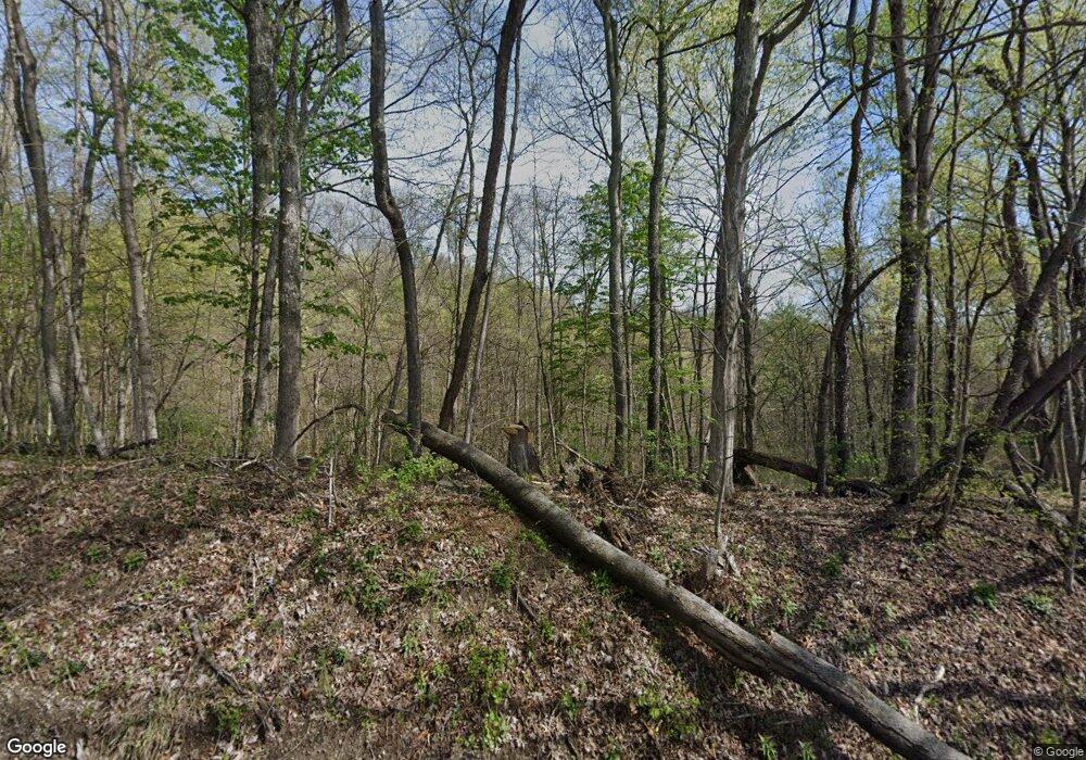
Estimated Value: $325,000 - $587,000
3
Beds
2
Baths
2,530
Sq Ft
$179/Sq Ft
Est. Value
About This Home
This home is located at 265 Virginia Ridge Rd Unit R, Philo, OH 43771 and is currently estimated at $451,674, approximately $178 per square foot. 265 Virginia Ridge Rd Unit R is a home located in Muskingum County with nearby schools including Philo High School.
Ownership History
Date
Name
Owned For
Owner Type
Purchase Details
Closed on
Dec 12, 2024
Sold by
Dearth Marcus and Dearth Matthew W
Bought by
Dearth Matthew W
Current Estimated Value
Home Financials for this Owner
Home Financials are based on the most recent Mortgage that was taken out on this home.
Original Mortgage
$254,000
Outstanding Balance
$251,975
Interest Rate
6.72%
Mortgage Type
New Conventional
Estimated Equity
$199,699
Purchase Details
Closed on
Oct 28, 2021
Sold by
Estate Of Bonnie S Dearth
Bought by
Dearth Matthew W and Dearth Marcus
Purchase Details
Closed on
Oct 3, 2003
Sold by
Dearth Wayne H and Dearth Bonnie S
Bought by
Dearth Wayne H and Dearth Bonnie S
Home Financials for this Owner
Home Financials are based on the most recent Mortgage that was taken out on this home.
Original Mortgage
$50,000
Interest Rate
6.25%
Mortgage Type
Credit Line Revolving
Create a Home Valuation Report for This Property
The Home Valuation Report is an in-depth analysis detailing your home's value as well as a comparison with similar homes in the area
Home Values in the Area
Average Home Value in this Area
Purchase History
| Date | Buyer | Sale Price | Title Company |
|---|---|---|---|
| Dearth Matthew W | $418,000 | None Listed On Document | |
| Dearth Matthew W | $418,000 | None Listed On Document | |
| Dearth Matthew W | $418,000 | None Listed On Document | |
| Dearth Matthew W | -- | None Available | |
| Dearth Wayne H | -- | -- |
Source: Public Records
Mortgage History
| Date | Status | Borrower | Loan Amount |
|---|---|---|---|
| Open | Dearth Matthew W | $254,000 | |
| Closed | Dearth Matthew W | $254,000 | |
| Previous Owner | Dearth Wayne H | $50,000 |
Source: Public Records
Tax History Compared to Growth
Tax History
| Year | Tax Paid | Tax Assessment Tax Assessment Total Assessment is a certain percentage of the fair market value that is determined by local assessors to be the total taxable value of land and additions on the property. | Land | Improvement |
|---|---|---|---|---|
| 2024 | $2,404 | $127,925 | $84,280 | $43,645 |
| 2023 | $2,070 | $79,870 | $58,730 | $21,140 |
| 2022 | $2,906 | $79,870 | $58,730 | $21,140 |
| 2021 | $7,525 | $79,870 | $58,730 | $21,140 |
| 2020 | $1,378 | $79,870 | $58,730 | $21,140 |
| 2019 | $1,375 | $79,870 | $58,730 | $21,140 |
| 2018 | $1,523 | $79,870 | $58,730 | $21,140 |
| 2017 | $1,623 | $58,975 | $42,490 | $16,485 |
| 2016 | $1,607 | $58,980 | $42,490 | $16,490 |
| 2015 | $1,645 | $58,980 | $42,490 | $16,490 |
| 2013 | $1,052 | $58,980 | $42,490 | $16,490 |
Source: Public Records
Map
Nearby Homes
- 280 Virginia Ridge Rd
- 5780 Henderson St
- 9390 Shady Ln
- 8285 Old River Rd
- 9815 Old River Rd
- 1285 Moody Hollow Rd
- 520 Fattler Ridge Rd
- 7405 W Sharps Ridge Rd NW
- 426 Main St
- 754 3rd St
- 718 3rd St
- 9950 N Greer Rd NW
- 252 Front St
- 142 Main St
- 143 Front St
- 135 Front St
- 0 1st St Unit 225021970
- VL 1st St
- 9371 Mautz Dr
- 0 Old River Rd Unit 225036638
- 230 Virginia Ridge Rd
- 380 Virginia Ridge Rd
- 440 Virginia Ridge Rd
- 2 Old River Rd
- 8900 Shady Ln
- 460 Virginia Ridge Rd
- 8860 Shady Ln
- 8870 Shady Ln
- 8315 Old River Rd
- 480 Virginia Ridge Rd
- 8880 Shady Ln
- 9005 Old River Rd
- 8995 Old River Rd
- 8810 Old River Rd
- 8780 Old River Rd
- 520 Virginia Ridge Rd
- 8690 Old River Rd
- 8970 Shady Ln
- 8670 Old River Rd
- 8670 Old River Rd Unit B
