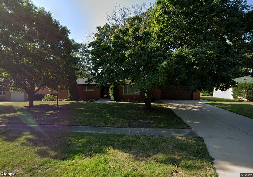
265 W 2nd St Coal City, IL 60416
Estimated Value: $276,000 - $324,000
--
Bed
--
Bath
1,707
Sq Ft
$170/Sq Ft
Est. Value
About This Home
This home is located at 265 W 2nd St, Coal City, IL 60416 and is currently estimated at $290,848, approximately $170 per square foot. 265 W 2nd St is a home with nearby schools including Coal City Elementary School, Coal City Intermediate School, and Coal City Middle School.
Ownership History
Date
Name
Owned For
Owner Type
Purchase Details
Closed on
Jun 20, 2019
Sold by
Vescovi James M
Bought by
Byers Nicholas R
Current Estimated Value
Home Financials for this Owner
Home Financials are based on the most recent Mortgage that was taken out on this home.
Original Mortgage
$184,000
Outstanding Balance
$161,453
Interest Rate
4%
Mortgage Type
New Conventional
Estimated Equity
$129,395
Create a Home Valuation Report for This Property
The Home Valuation Report is an in-depth analysis detailing your home's value as well as a comparison with similar homes in the area
Home Values in the Area
Average Home Value in this Area
Purchase History
| Date | Buyer | Sale Price | Title Company |
|---|---|---|---|
| Byers Nicholas R | $230,000 | Fidelity Nationaltitle |
Source: Public Records
Mortgage History
| Date | Status | Borrower | Loan Amount |
|---|---|---|---|
| Open | Byers Nicholas R | $184,000 |
Source: Public Records
Tax History Compared to Growth
Tax History
| Year | Tax Paid | Tax Assessment Tax Assessment Total Assessment is a certain percentage of the fair market value that is determined by local assessors to be the total taxable value of land and additions on the property. | Land | Improvement |
|---|---|---|---|---|
| 2024 | $6,407 | $87,287 | $20,952 | $66,335 |
| 2023 | $5,994 | $81,660 | $19,601 | $62,059 |
| 2022 | $5,200 | $76,497 | $18,362 | $58,135 |
| 2021 | $4,952 | $72,303 | $17,355 | $54,948 |
| 2020 | $4,846 | $70,850 | $17,006 | $53,844 |
| 2019 | $4,499 | $66,839 | $16,043 | $50,796 |
| 2018 | $4,445 | $66,965 | $16,073 | $50,892 |
| 2017 | $4,164 | $64,545 | $15,492 | $49,053 |
| 2016 | $4,098 | $64,078 | $15,380 | $48,698 |
| 2015 | $3,745 | $61,959 | $14,871 | $47,088 |
| 2014 | $3,679 | $60,971 | $14,634 | $46,337 |
| 2013 | $3,698 | $62,120 | $14,910 | $47,210 |
Source: Public Records
Map
Nearby Homes
- 105 N Kankakee St
- 395 N Kankakee St
- 310 W Oak St
- Lot 2 Mcardle Rd
- Lot 6 Mcardle Rd
- Lot 1 Mcardle Rd
- Lot 3 Mcardle Rd
- Lot 5 Mcardle Rd
- Lot 4 Mcardle Rd
- 595 W Rathburn St
- 385 S Kankakee St
- 681 Circle Dr
- 485 Trotter Dr
- 573-585 S Mazon St
- 495 Trotter Dr
- 295 N Lincoln St
- 540 N 1st Ave
- 20 N Carbon Hill Rd
- 120 E Elm St
- 801 W Daisy Place