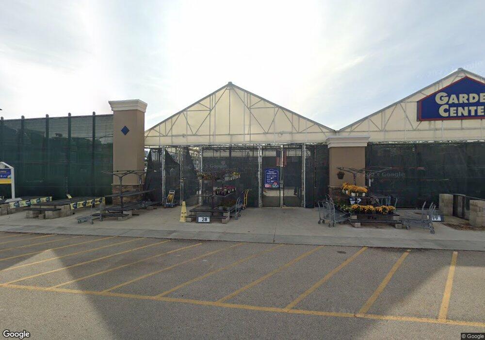
265 W Overland Rd Meridian, ID 83642
Southwest Meridian NeighborhoodEstimated Value: $549,000
5
Beds
2
Baths
2,672
Sq Ft
$205/Sq Ft
Est. Value
About This Home
This home is located at 265 W Overland Rd, Meridian, ID 83642 and is currently estimated at $549,000, approximately $205 per square foot. 265 W Overland Rd is a home located in Ada County with nearby schools including Peregrine Elementary School, Victory Middle School, and Meridian High School.
Ownership History
Date
Name
Owned For
Owner Type
Purchase Details
Closed on
May 25, 2018
Sold by
Toll I Id Llc
Bought by
Ada County Highway District
Current Estimated Value
Purchase Details
Closed on
Mar 30, 2011
Sold by
Karcher Crossing Llc
Bought by
Lowes Hiw Inc
Home Financials for this Owner
Home Financials are based on the most recent Mortgage that was taken out on this home.
Original Mortgage
$4,741,758
Interest Rate
4.96%
Mortgage Type
Purchase Money Mortgage
Create a Home Valuation Report for This Property
The Home Valuation Report is an in-depth analysis detailing your home's value as well as a comparison with similar homes in the area
Home Values in the Area
Average Home Value in this Area
Purchase History
| Date | Buyer | Sale Price | Title Company |
|---|---|---|---|
| Ada County Highway District | -- | None Available | |
| Lowes Hiw Inc | -- | First American Title & Escro |
Source: Public Records
Mortgage History
| Date | Status | Borrower | Loan Amount |
|---|---|---|---|
| Previous Owner | Lowes Hiw Inc | $4,741,758 |
Source: Public Records
Tax History Compared to Growth
Tax History
| Year | Tax Paid | Tax Assessment Tax Assessment Total Assessment is a certain percentage of the fair market value that is determined by local assessors to be the total taxable value of land and additions on the property. | Land | Improvement |
|---|---|---|---|---|
| 2025 | $14,158 | $2,954,900 | -- | -- |
| 2024 | $15,286 | $2,844,100 | -- | -- |
| 2023 | $15,286 | $2,844,100 | $0 | $0 |
| 2022 | $12,811 | $2,413,200 | $0 | $0 |
| 2021 | $13,458 | $1,896,100 | $0 | $0 |
| 2020 | $14,367 | $1,723,700 | $0 | $0 |
| 2019 | $18,376 | $1,699,100 | $0 | $0 |
| 2018 | $18,972 | $1,625,200 | $0 | $0 |
| 2017 | $19,140 | $1,551,300 | $0 | $0 |
| 2016 | $18,956 | $1,477,500 | $0 | $0 |
| 2015 | $16,712 | $1,477,500 | $0 | $0 |
| 2012 | -- | $1,255,800 | $0 | $0 |
Source: Public Records
Map
Nearby Homes
- 482 W Davenport St
- 2019 S Riptide Ave
- 76 W Christopher St
- 275 E Aruba Ct
- 1605 SE 3rd Way
- 146 W Cub St
- 3661 S Corabell Way
- 1890 S Cobble Ave
- 1135 W Davenport St
- 229 E Whitespur St
- 2811 S Alfani Way
- 1010 W Cub River Dr
- 1781 S Seagrass Ave
- 2786 S Denali Place
- 986 W Cub River Dr
- 2816 S Bear Claw Way
- 1070 W Honker Dr
- 615 E Trinidad Dr
- 1188 W Cub River Dr
- 1115 W Olds River Dr
- 214 W Davenport Dr
- Lot 10 Block 3 Unit Lot 10 Block 3
- 196 W Davenport Dr
- 230 W Davenport Dr
- 182 W Davenport Dr
- 168 W Davenport Dr
- 134 W Davenport Dr
- 1875 S Riptide Ave
- 112 W Davenport Dr
- 330 W Davenport St
- 1896 S Riptide Ave
- 1887 S Covey Place
- 98 W Davenport Dr
- 1815 S Meridian Rd
- 1893 S Riptide Ave
- 352 W Davenport St
- 74 W Davenport Dr
- 326 W Davenport St
- 1908 S Riptide Ave
- 1929 S Covey Place