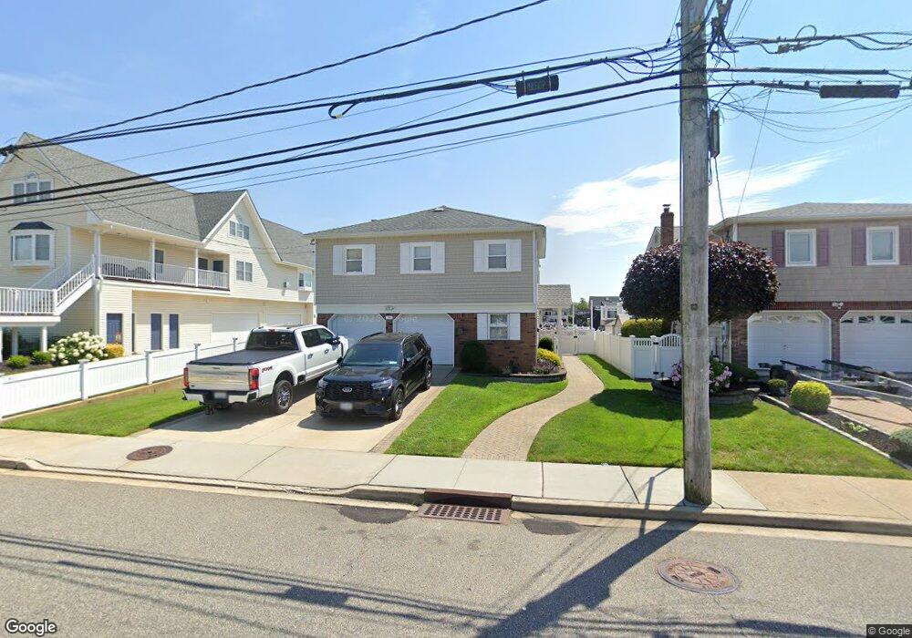
265 Westside Ave Freeport, NY 11520
Estimated Value: $726,774 - $953,000
Studio
2
Baths
1,316
Sq Ft
$638/Sq Ft
Est. Value
About This Home
This home is located at 265 Westside Ave, Freeport, NY 11520 and is currently estimated at $839,887, approximately $638 per square foot. 265 Westside Ave is a home located in Nassau County with nearby schools including Columbus Avenue School, Caroline G. Atkinson Intermediate School, and John W Dodd Middle School.
Ownership History
Date
Name
Owned For
Owner Type
Purchase Details
Closed on
May 3, 2012
Sold by
Barba Thomas and Lobo Sharon
Bought by
Barba Thomas
Current Estimated Value
Home Financials for this Owner
Home Financials are based on the most recent Mortgage that was taken out on this home.
Original Mortgage
$94,937
Outstanding Balance
$66,115
Interest Rate
4.01%
Mortgage Type
Purchase Money Mortgage
Estimated Equity
$773,772
Create a Home Valuation Report for This Property
The Home Valuation Report is an in-depth analysis detailing your home's value as well as a comparison with similar homes in the area
Home Values in the Area
Average Home Value in this Area
Purchase History
| Date | Buyer | Sale Price | Title Company |
|---|---|---|---|
| Barba Thomas | -- | -- |
Source: Public Records
Mortgage History
| Date | Status | Borrower | Loan Amount |
|---|---|---|---|
| Open | Barba Thomas | $94,937 |
Source: Public Records
Tax History
| Year | Tax Paid | Tax Assessment Tax Assessment Total Assessment is a certain percentage of the fair market value that is determined by local assessors to be the total taxable value of land and additions on the property. | Land | Improvement |
|---|---|---|---|---|
| 2025 | $9,467 | $444 | $182 | $262 |
| 2024 | $957 | $440 | $180 | $260 |
Source: Public Records
Map
Nearby Homes
- 292 Westside Ave
- 226 Westside Ave Unit B
- 479 Roosevelt Ave
- 587 S Bayview Ave
- 300 Branch Ave
- 65 Adams St
- 470 Miller Ave
- 160 Saint Marks Ave
- 209 Nassau Ave
- 744 S Long Beach Ave
- 374 Miller Ave
- 605 S Ocean Ave
- 322 Miller Ave
- 310 Miller Ave
- 28 Florence Ave
- 210 Westend Ave Unit 8B
- 8 Florence Ave Unit 16C
- 173 Cedar St
- 494 S Ocean Ave Unit 1M
- 494 S Ocean Ave Unit 1H
- 269 Westside Ave
- 253 Westside Ave
- 253 Westside Ave Unit C
- 253 Westside Ave Unit B
- 253 Westside Ave Unit A
- 281 Westside Ave
- 289 Westside Ave
- 280 Westside Ave
- 256 Westside Ave
- 5 Bryant St
- 275 Westside Ave
- 246 Westside Ave
- 267 Saint Marks Ave
- 15 Bryant St
- 261 Saint Marks Ave
- 299 Westside Ave
- 296 Westside Ave
- 257 Saint Marks Ave
- 285 Saint Marks Ave
- 236 Westside Ave Unit A