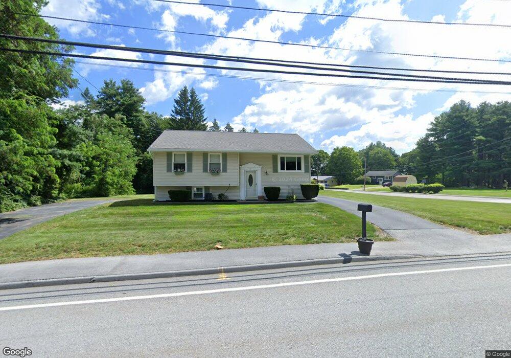
265 Wilson St Marlborough, MA 01752
Estimated Value: $567,000 - $601,000
3
Beds
1
Bath
1,518
Sq Ft
$385/Sq Ft
Est. Value
About This Home
This home is located at 265 Wilson St, Marlborough, MA 01752 and is currently estimated at $585,028, approximately $385 per square foot. 265 Wilson St is a home located in Middlesex County with nearby schools including Marlborough High School, New Covenant Christian School, and Glenhaven Academy - JRI School.
Ownership History
Date
Name
Owned For
Owner Type
Purchase Details
Closed on
Jul 26, 2006
Sold by
Mastroianni Mark C and Mastroianni Shannon M
Bought by
Kraft Gary A
Current Estimated Value
Home Financials for this Owner
Home Financials are based on the most recent Mortgage that was taken out on this home.
Original Mortgage
$267,000
Outstanding Balance
$159,517
Interest Rate
6.67%
Mortgage Type
Purchase Money Mortgage
Estimated Equity
$425,511
Purchase Details
Closed on
Nov 21, 2003
Sold by
Parent Joan G
Bought by
Mastroianni Shannon M and Mastroianni Mark C
Home Financials for this Owner
Home Financials are based on the most recent Mortgage that was taken out on this home.
Original Mortgage
$233,600
Interest Rate
5.98%
Mortgage Type
Purchase Money Mortgage
Create a Home Valuation Report for This Property
The Home Valuation Report is an in-depth analysis detailing your home's value as well as a comparison with similar homes in the area
Home Values in the Area
Average Home Value in this Area
Purchase History
| Date | Buyer | Sale Price | Title Company |
|---|---|---|---|
| Kraft Gary A | $342,000 | -- | |
| Mastroianni Shannon M | $292,000 | -- |
Source: Public Records
Mortgage History
| Date | Status | Borrower | Loan Amount |
|---|---|---|---|
| Open | Kraft Gary A | $267,000 | |
| Previous Owner | Mastroianni Shannon M | $233,600 |
Source: Public Records
Tax History Compared to Growth
Tax History
| Year | Tax Paid | Tax Assessment Tax Assessment Total Assessment is a certain percentage of the fair market value that is determined by local assessors to be the total taxable value of land and additions on the property. | Land | Improvement |
|---|---|---|---|---|
| 2025 | $4,854 | $492,300 | $240,600 | $251,700 |
| 2024 | $4,714 | $460,400 | $218,800 | $241,600 |
| 2023 | $4,965 | $430,200 | $179,600 | $250,600 |
| 2022 | $4,850 | $369,700 | $171,000 | $198,700 |
| 2021 | $4,739 | $343,400 | $142,600 | $200,800 |
| 2020 | $4,645 | $327,600 | $135,800 | $191,800 |
| 2019 | $4,493 | $319,300 | $133,100 | $186,200 |
| 2018 | $7,918 | $310,300 | $115,600 | $194,700 |
| 2017 | $4,383 | $286,100 | $113,500 | $172,600 |
| 2016 | $4,240 | $276,400 | $113,500 | $162,900 |
| 2015 | $4,009 | $254,400 | $121,600 | $132,800 |
Source: Public Records
Map
Nearby Homes
- 114 Linda Cir
- 109 Westminster Dr Unit 109
- 624 Boston Post Rd E Unit 7
- 608 Boston Post Rd E Unit 11
- 596 Boston Post Rd E Unit 13
- 596 Boston Post Rd E
- 688 Boston Post Rd E Unit 202
- 688 Boston Post Rd E Unit 304
- 688 Boston Post Rd E Unit 100
- 688 Boston Post Rd E Unit 324
- 688 Boston Post Rd E Unit 228
- 38 Collins Dr
- 23 Victoria Ln
- 271 Boston Post Rd E Unit 4
- 261 Boston Post Rd E Unit 1
- 17 Mcneil Cir
- 256 Robert Rd
- 323 Robert Rd
- 10 Eldorado Dr
- 32 Ethel