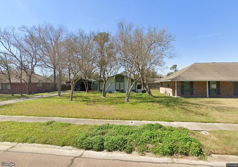
2650 Donald Dr Baton Rouge, LA 70809
Mid City South NeighborhoodEstimated Value: $174,000 - $188,000
--
Bed
--
Bath
1,111
Sq Ft
$161/Sq Ft
Est. Value
About This Home
This home is located at 2650 Donald Dr, Baton Rouge, LA 70809 and is currently estimated at $179,073, approximately $161 per square foot. 2650 Donald Dr is a home located in East Baton Rouge Parish with nearby schools including LaSalle Elementary School, Westdale Middle School, and Tara High School.
Ownership History
Date
Name
Owned For
Owner Type
Purchase Details
Closed on
Apr 5, 2024
Sold by
Franklin Milton W
Bought by
Mcdonald Nancy
Current Estimated Value
Home Financials for this Owner
Home Financials are based on the most recent Mortgage that was taken out on this home.
Original Mortgage
$180,500
Outstanding Balance
$177,813
Interest Rate
6.9%
Mortgage Type
New Conventional
Estimated Equity
$1,260
Purchase Details
Closed on
May 27, 2022
Sold by
Shellpoint Mortgage Servicing
Bought by
Burford Allen Joan
Create a Home Valuation Report for This Property
The Home Valuation Report is an in-depth analysis detailing your home's value as well as a comparison with similar homes in the area
Home Values in the Area
Average Home Value in this Area
Purchase History
| Date | Buyer | Sale Price | Title Company |
|---|---|---|---|
| Mcdonald Nancy | $190,000 | None Listed On Document | |
| Burford Allen Joan | -- | -- |
Source: Public Records
Mortgage History
| Date | Status | Borrower | Loan Amount |
|---|---|---|---|
| Open | Mcdonald Nancy | $180,500 |
Source: Public Records
Tax History Compared to Growth
Tax History
| Year | Tax Paid | Tax Assessment Tax Assessment Total Assessment is a certain percentage of the fair market value that is determined by local assessors to be the total taxable value of land and additions on the property. | Land | Improvement |
|---|---|---|---|---|
| 2024 | $603 | $11,880 | $2,050 | $9,830 |
| 2023 | $603 | $11,880 | $2,050 | $9,830 |
| 2022 | $1,194 | $10,000 | $2,050 | $7,950 |
| 2021 | $1,167 | $10,000 | $2,050 | $7,950 |
| 2020 | $1,159 | $10,000 | $2,050 | $7,950 |
| 2019 | $1,078 | $8,900 | $2,050 | $6,850 |
| 2018 | $1,065 | $8,900 | $2,050 | $6,850 |
| 2017 | $1,065 | $8,900 | $2,050 | $6,850 |
| 2016 | $260 | $8,900 | $2,050 | $6,850 |
| 2015 | $262 | $8,900 | $2,050 | $6,850 |
| 2014 | $261 | $8,900 | $2,050 | $6,850 |
| 2013 | -- | $8,900 | $2,050 | $6,850 |
Source: Public Records
Map
Nearby Homes
- 2753 Donald Dr
- 2614 Drusilla Ln
- 9120 Old Garden Ave
- 9144 Oxford Place Dr
- 10115 Ambrose Ct
- 10123 Hyde Park Ct
- 2010 Red Stick Dr
- 3312 Vintage Ct
- 2031 Red Stick Villas Dr
- 2156 E Contour Dr
- 9216 Essex Bay Ct
- 2321 Emmett Bourgeois Ln
- 8912 Alma Dr
- 1919 W Magna Carta Place
- 10280 W Winston Ave
- 10280 W Winston Ave Unit 3
- 10280 W Winston Ave Unit 10
- 10280 W Winston Ave Unit 11
- 10282 W Winston Ave Unit 1
- 9302 Hilltrace Ave