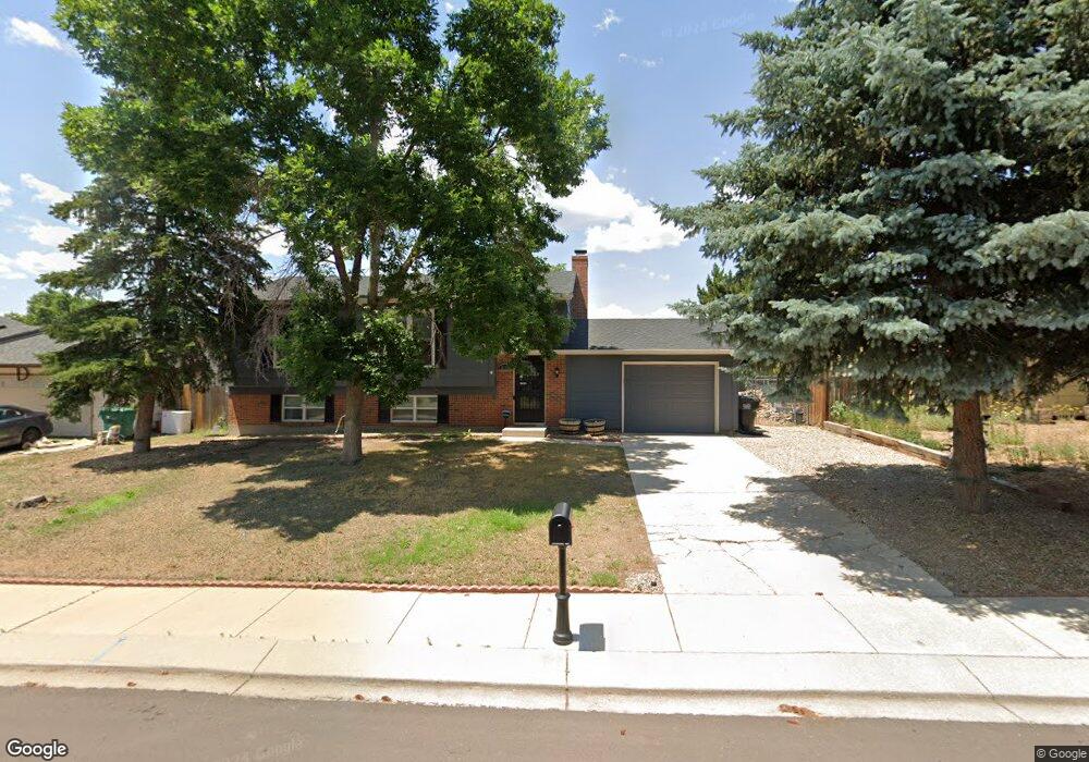
2650 Prescott Cir E Colorado Springs, CO 80916
Southborough NeighborhoodEstimated Value: $369,286 - $392,000
3
Beds
2
Baths
998
Sq Ft
$384/Sq Ft
Est. Value
About This Home
This home is located at 2650 Prescott Cir E, Colorado Springs, CO 80916 and is currently estimated at $383,322, approximately $384 per square foot. 2650 Prescott Cir E is a home located in El Paso County with nearby schools including Giberson Elementary School, Panorama Middle School, and Sierra High School.
Ownership History
Date
Name
Owned For
Owner Type
Purchase Details
Closed on
Aug 24, 2017
Sold by
Shermanski John E and Shermanski April J
Bought by
Lewis Wilson Randolph
Current Estimated Value
Home Financials for this Owner
Home Financials are based on the most recent Mortgage that was taken out on this home.
Original Mortgage
$234,945
Outstanding Balance
$196,413
Interest Rate
4.03%
Mortgage Type
VA
Estimated Equity
$186,909
Purchase Details
Closed on
Aug 27, 2004
Sold by
Thomas Peter A and Thomas Udie A
Bought by
Shemanski John E and Shemanski April J
Home Financials for this Owner
Home Financials are based on the most recent Mortgage that was taken out on this home.
Original Mortgage
$148,190
Interest Rate
5%
Mortgage Type
VA
Purchase Details
Closed on
Feb 1, 1982
Bought by
Lewis Wilson Randolph
Create a Home Valuation Report for This Property
The Home Valuation Report is an in-depth analysis detailing your home's value as well as a comparison with similar homes in the area
Home Values in the Area
Average Home Value in this Area
Purchase History
| Date | Buyer | Sale Price | Title Company |
|---|---|---|---|
| Lewis Wilson Randolph | $230,000 | First American Title | |
| Shemanski John E | $145,000 | Land Title | |
| Lewis Wilson Randolph | -- | -- |
Source: Public Records
Mortgage History
| Date | Status | Borrower | Loan Amount |
|---|---|---|---|
| Open | Lewis Wilson Randolph | $234,945 | |
| Previous Owner | Shemanski John E | $148,190 |
Source: Public Records
Tax History Compared to Growth
Tax History
| Year | Tax Paid | Tax Assessment Tax Assessment Total Assessment is a certain percentage of the fair market value that is determined by local assessors to be the total taxable value of land and additions on the property. | Land | Improvement |
|---|---|---|---|---|
| 2025 | $1,280 | $26,110 | -- | -- |
| 2024 | $1,001 | $25,790 | $3,580 | $22,210 |
| 2023 | $1,001 | $25,790 | $3,580 | $22,210 |
| 2022 | $1,077 | $19,960 | $3,130 | $16,830 |
| 2021 | $1,149 | $20,530 | $3,220 | $17,310 |
| 2020 | $1,121 | $17,200 | $2,500 | $14,700 |
| 2019 | $1,087 | $17,200 | $2,500 | $14,700 |
| 2018 | $771 | $11,750 | $1,800 | $9,950 |
| 2017 | $589 | $11,750 | $1,800 | $9,950 |
| 2016 | $618 | $11,580 | $1,830 | $9,750 |
| 2015 | $618 | $11,580 | $1,830 | $9,750 |
| 2014 | $582 | $10,780 | $1,830 | $8,950 |
Source: Public Records
Map
Nearby Homes
- 2655 Prescott Cir E
- 2785 Clarendon Dr
- 2650 Plymouth Dr
- 4598 Wordsworth Cir N
- 2625 Plymouth Dr
- 4597 Wordsworth Cir N
- 2535 Helton Ct
- 2742 Dickens Dr
- 4770 Newton Dr
- 4520 Melville Dr
- 4530 London Ln
- 2522 Astrozon Cir
- 4731 Astrozon Blvd
- 2521 Astrozon Cir
- 4475 London Ln
- 2467 Lexington Village Ln Unit G3
- 2470 Astrozon Cir
- 2455 Lexington Village Ln Unit 3
- 2430 Lexington Village Ln
- 4952 Joseph Dr
- 2640 Prescott Cir E
- 2635 Colton Place
- 2670 Prescott Cir E
- 2630 Prescott Cir E
- 2625 Colton Place
- 2645 Colton Place
- 2645 Prescott Cir E
- 2665 Prescott Cir E
- 2680 Prescott Cir E
- 2620 Prescott Cir E
- 2635 Prescott Cir E
- 2655 Colton Place
- 2675 Prescott Cir E
- 4715 Monica Dr
- 2615 Colton Place
- 4725 Monica Dr
- 2625 Prescott Cir E
- 2685 Prescott Cir E
- 2640 Clarendon Dr
- 2650 Clarendon Dr