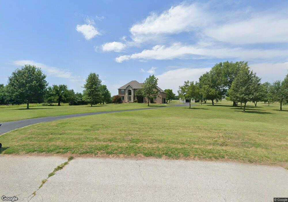
2650 S Francis Dr Brookline, MO 65619
Estimated Value: $425,000 - $622,631
4
Beds
2
Baths
2,984
Sq Ft
$176/Sq Ft
Est. Value
About This Home
This home is located at 2650 S Francis Dr, Brookline, MO 65619 and is currently estimated at $523,816, approximately $175 per square foot. 2650 S Francis Dr is a home located in Greene County with nearby schools including Price Elementary School, Republic Middle School, and Republic High School.
Ownership History
Date
Name
Owned For
Owner Type
Purchase Details
Closed on
Jul 12, 2017
Sold by
Hauschildt Mitchell and Hauschildt Shannon
Bought by
Hauschildt Mitchell and Hauschildt Shannon
Current Estimated Value
Purchase Details
Closed on
Jul 20, 2005
Sold by
Sawyner Development Inc
Bought by
Hauschidt Mitchell and Hauschildt Shannon
Home Financials for this Owner
Home Financials are based on the most recent Mortgage that was taken out on this home.
Original Mortgage
$42,000
Interest Rate
5.55%
Mortgage Type
New Conventional
Create a Home Valuation Report for This Property
The Home Valuation Report is an in-depth analysis detailing your home's value as well as a comparison with similar homes in the area
Home Values in the Area
Average Home Value in this Area
Purchase History
| Date | Buyer | Sale Price | Title Company |
|---|---|---|---|
| Hauschildt Mitchell | -- | None Available | |
| Hauschidt Mitchell | -- | None Available |
Source: Public Records
Mortgage History
| Date | Status | Borrower | Loan Amount |
|---|---|---|---|
| Previous Owner | Hauschidt Mitchell | $42,000 |
Source: Public Records
Tax History Compared to Growth
Tax History
| Year | Tax Paid | Tax Assessment Tax Assessment Total Assessment is a certain percentage of the fair market value that is determined by local assessors to be the total taxable value of land and additions on the property. | Land | Improvement |
|---|---|---|---|---|
| 2025 | $4,157 | $83,010 | $10,750 | $72,260 |
| 2024 | $4,157 | $74,410 | $8,060 | $66,350 |
| 2023 | $4,077 | $74,410 | $8,060 | $66,350 |
| 2022 | $3,660 | $66,470 | $8,060 | $58,410 |
| 2021 | $3,638 | $66,470 | $8,060 | $58,410 |
| 2020 | $3,629 | $65,270 | $8,060 | $57,210 |
| 2019 | $3,546 | $64,000 | $8,060 | $55,940 |
| 2018 | $3,436 | $59,930 | $8,060 | $51,870 |
| 2017 | $3,407 | $57,140 | $8,060 | $49,080 |
| 2016 | $3,285 | $57,140 | $8,060 | $49,080 |
| 2015 | $3,274 | $57,140 | $8,060 | $49,080 |
| 2014 | $3,139 | $54,310 | $8,060 | $46,250 |
Source: Public Records
Map
Nearby Homes
- 1883 S Farm Road 107
- Tbd W Farm Road 148
- 000 W Farm Road 148
- 1707 S Farm Road 115
- 000 S State Highway Mm
- 1895 S Lullwood Ave
- 1898 S Lullwood Ave
- 4914 W University St
- 4596 W Greenridge St
- 4041 S Farm Road 107
- 4085 E Ashwood Ct
- 4662 W University St
- 4082 E Ashwood Ct
- 1755 N Boxwood Dr
- 2031 S Pebble Ridge Rd
- 4093 E Ashwood St
- 000 W Farm Road 156
- 4074 E Ashwood Ct
- 4090 E Ashwood Ct
- 4058 E Ashwood Ct
- 0 S Francis Dr Unit 10814528
- 0 S Francis Dr Unit 10909133
- 0 S Francis Dr
- 2619 S Francis Dr
- 2632 S Francis Dr
- 2664 S Francis Dr
- 2620 S Louise Ct
- 2686 S Francis Dr
- 5548 W Farm Road 156
- 0 S Louise Ct
- 3185 S Louise Ct
- 5504 W Farm Road 156
- 5547 W Farm Road 156
- 5508 W Farm Road 156
- 5885 W Farm Road 156
- 5911 W Farm Road 156
- 2697 S Maple Leaf Ln
- 2683 S Maple Leaf Ln
- 5937 W Farm Road 156
- 2649 S Maple Leaf Ln