26503 Andrews Rd Vinton, OH 45686
Estimated Value: $96,000 - $158,000
3
Beds
1
Bath
1,176
Sq Ft
$111/Sq Ft
Est. Value
About This Home
This home is located at 26503 Andrews Rd, Vinton, OH 45686 and is currently estimated at $131,043, approximately $111 per square foot. 26503 Andrews Rd is a home located in Gallia County with nearby schools including Vinton Elementary School.
Ownership History
Date
Name
Owned For
Owner Type
Purchase Details
Closed on
Jan 13, 2016
Sold by
Hershberger David A and Hershberger Katie L
Bought by
Spaulding Jeremiah
Current Estimated Value
Home Financials for this Owner
Home Financials are based on the most recent Mortgage that was taken out on this home.
Original Mortgage
$38,000
Outstanding Balance
$30,183
Interest Rate
3.92%
Mortgage Type
Land Contract Argmt. Of Sale
Estimated Equity
$100,860
Purchase Details
Closed on
Jul 21, 2014
Sold by
Loan Central Inc
Bought by
Hershberger David A and Hershberger Katie I
Purchase Details
Closed on
Dec 11, 2013
Sold by
Legg Marie A
Bought by
Loan Central Inc
Purchase Details
Closed on
Nov 1, 1985
Bought by
Legg Marie A
Create a Home Valuation Report for This Property
The Home Valuation Report is an in-depth analysis detailing your home's value as well as a comparison with similar homes in the area
Home Values in the Area
Average Home Value in this Area
Purchase History
| Date | Buyer | Sale Price | Title Company |
|---|---|---|---|
| Spaulding Jeremiah | $7,000 | None Available | |
| Hershberger David A | $35,000 | None Available | |
| Loan Central Inc | -- | None Available | |
| Legg Marie A | $70,000 | -- |
Source: Public Records
Mortgage History
| Date | Status | Borrower | Loan Amount |
|---|---|---|---|
| Open | Spaulding Jeremiah | $38,000 |
Source: Public Records
Tax History Compared to Growth
Tax History
| Year | Tax Paid | Tax Assessment Tax Assessment Total Assessment is a certain percentage of the fair market value that is determined by local assessors to be the total taxable value of land and additions on the property. | Land | Improvement |
|---|---|---|---|---|
| 2024 | $894 | $24,780 | $11,620 | $13,160 |
| 2023 | $918 | $24,780 | $11,620 | $13,160 |
| 2022 | $849 | $22,560 | $9,830 | $12,730 |
| 2021 | $847 | $22,560 | $9,830 | $12,730 |
| 2020 | $847 | $22,560 | $9,830 | $12,730 |
| 2019 | $772 | $20,670 | $8,940 | $11,730 |
| 2018 | $772 | $20,670 | $8,940 | $11,730 |
| 2017 | $781 | $20,670 | $8,940 | $11,730 |
| 2016 | $725 | $19,650 | $8,020 | $11,630 |
| 2015 | $725 | $19,650 | $8,020 | $11,630 |
| 2013 | $1,046 | $38,110 | $13,020 | $25,090 |
| 2012 | $1,046 | $38,110 | $13,020 | $25,090 |
Source: Public Records
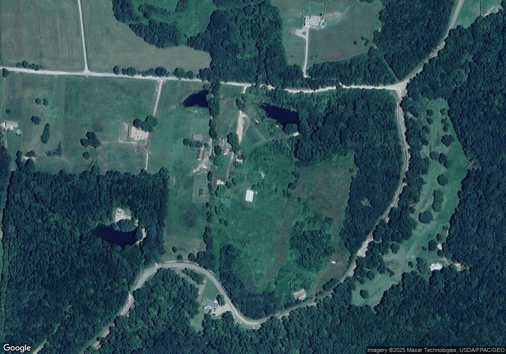
Map
Nearby Homes
- 3229 Painter Ridge Rd
- 31166 Edmundson Rd
- 46400 Ohio 160
- 31152 Edmundson Rd
- 7710 Bull Run Rd
- 0 Edmundson Rd Unit 23607169
- 0 Edmundson Rd Unit (Tract 2 at Big Timb
- 0 Edmundson Rd Unit 23597084
- 0 Edmundson Rd Unit 23463048
- 0 Edmundson Rd Unit (Tract 5 at Big Timb
- 0 Edmundson Rd Unit (Tract 6 at Big Timb
- 0 Edmundson Rd Unit 2429533
- 0 Edmundson Rd Unit Tract 1 Phase 2 Big
- 28033 State Route 124
- 32319 Red Hill Rd Unit (Overlook Cabin at B
- 31845 Red Hill Rd
- 0 Red Hill Rd Unit 22347212
- 28600 Ohio 124
- 30285 Briar Ridge Rd
- 30286 Briar Ridge Rd
- 26425 Andrews Rd
- 26630 S Andrews Rd
- 26303 Andrews Rd
- 10695 State Route 325
- 26279 Andrews Rd
- 30097 Piper Cemetery Rd
- 30123 State Route 325
- 26229 Andrews Rd
- 26207 Andrews Rd
- 55ac Keesee Rd
- 71ac Keesee Rd
- 2010 Keesee Rd
- 2015 Keesee Rd
- 1349 Keesee Rd
- 30532 Painter Ridge Rd
- 30596 Painter Ridge Rd
- 0 Metheny Fairplay Rd Unit (Tract 1) 223012453
- 0 Metheny Fairplay Rd Unit (Tract 4) 223011670
- 0 Metheny Fairplay Rd Unit (Tract 5)
- 1117 Keesee Rd