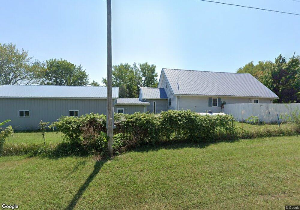
26503 E 339th St Archie, MO 64725
Estimated Value: $203,000 - $219,890
2
Beds
1
Bath
1,337
Sq Ft
$158/Sq Ft
Est. Value
About This Home
This home is located at 26503 E 339th St, Archie, MO 64725 and is currently estimated at $211,445, approximately $158 per square foot. 26503 E 339th St is a home located in Cass County with nearby schools including Archie Elementary School and Archie High School.
Ownership History
Date
Name
Owned For
Owner Type
Purchase Details
Closed on
Jun 1, 2017
Sold by
Kersey Stephen W and Kersey Candi
Bought by
Kersey Stephen W and Kersey Candi
Current Estimated Value
Home Financials for this Owner
Home Financials are based on the most recent Mortgage that was taken out on this home.
Original Mortgage
$84,000
Outstanding Balance
$69,437
Interest Rate
3.97%
Mortgage Type
New Conventional
Estimated Equity
$142,008
Purchase Details
Closed on
Oct 16, 2006
Sold by
Shivers Richard D and Shivers Lona M
Bought by
Kersey Stephen W
Create a Home Valuation Report for This Property
The Home Valuation Report is an in-depth analysis detailing your home's value as well as a comparison with similar homes in the area
Purchase History
| Date | Buyer | Sale Price | Title Company |
|---|---|---|---|
| Kersey Stephen W | -- | None Available | |
| Kersey Stephen W | -- | -- |
Source: Public Records
Mortgage History
| Date | Status | Borrower | Loan Amount |
|---|---|---|---|
| Open | Kersey Stephen W | $84,000 |
Source: Public Records
Tax History
| Year | Tax Paid | Tax Assessment Tax Assessment Total Assessment is a certain percentage of the fair market value that is determined by local assessors to be the total taxable value of land and additions on the property. | Land | Improvement |
|---|---|---|---|---|
| 2025 | $860 | $17,880 | $3,870 | $14,010 |
| 2024 | $860 | $13,610 | $3,520 | $10,090 |
| 2023 | $781 | $13,610 | $3,520 | $10,090 |
| 2022 | $781 | $11,990 | $3,520 | $8,470 |
| 2021 | $745 | $11,990 | $3,520 | $8,470 |
| 2020 | $680 | $10,810 | $3,520 | $7,290 |
| 2019 | $639 | $10,810 | $3,520 | $7,290 |
| 2018 | $577 | $9,390 | $2,710 | $6,680 |
| 2017 | $527 | $9,390 | $2,710 | $6,680 |
| 2016 | $527 | $9,030 | $2,710 | $6,320 |
| 2015 | $527 | $9,030 | $2,710 | $6,320 |
| 2014 | $526 | $9,030 | $2,710 | $6,320 |
| 2013 | -- | $9,030 | $2,710 | $6,320 |
Source: Public Records
Map
Nearby Homes
- 33415 S State Rt T Hwy
- 0 E 343rd St
- Tract 2 E 343rd St
- Tract 3 E 343rd St
- Tract 1 E 343rd St
- E 343rd St
- 29002 E State Route B
- TBD E 323rd St
- 000 E State Route B
- Tract 6 Rush Rd
- Tract 4 Rush Rd
- S Rush Rd
- S Rush Rd
- 0 E State Route B Hwy Unit HMS2557239
- 30400 E 337th St
- Tract 5 E State Route B
- E State Route A
- 507 S Wilson St
- 0 State Route A
- 300 E Maple St
- 26503 E 339th St
- 33816 S Dickey Rd
- 33812 S Dickey Rd
- 33915 S Dickey Rd
- 33800 S Dickey Rd
- 33805 S Dickey Rd
- 33801 S State Route T
- 0 339th St Unit 1921766
- 0 339th St Unit 2221404
- 34012 S Dickey Rd
- 26406 E Sugar Creek Ct
- 26508 E Sugar Creek St
- 26310 E Sugar Creek St
- 33708 S Dickey Rd
- 33811 S Dean St
- 33718 S State Route T
- 33702 S Dickey Rd
- 26608 E Sugar Creek St
- 33916 S Dean St
- 33714 S State Route T
Your Personal Tour Guide
Ask me questions while you tour the home.