2651 Nutwood Trace Duluth, GA 30097
Estimated Value: $1,608,000 - $1,740,883
7
Beds
8
Baths
5,961
Sq Ft
$284/Sq Ft
Est. Value
About This Home
This home is located at 2651 Nutwood Trace, Duluth, GA 30097 and is currently estimated at $1,692,294, approximately $283 per square foot. 2651 Nutwood Trace is a home located in Gwinnett County with nearby schools including M. H. Mason Elementary School, Hull Middle School, and Peachtree Ridge High School.
Ownership History
Date
Name
Owned For
Owner Type
Purchase Details
Closed on
Nov 15, 2002
Sold by
Yost John R
Bought by
Yost Jill C
Current Estimated Value
Purchase Details
Closed on
Nov 14, 2002
Sold by
Wood Bruce A
Bought by
Yost John R
Purchase Details
Closed on
Aug 15, 2002
Sold by
Wood Evelyn W
Bought by
Wood Bruce A
Purchase Details
Closed on
Mar 5, 1997
Sold by
Sugarloaf Props Inc
Bought by
Wood Bruce A Evelyn W
Create a Home Valuation Report for This Property
The Home Valuation Report is an in-depth analysis detailing your home's value as well as a comparison with similar homes in the area
Home Values in the Area
Average Home Value in this Area
Purchase History
| Date | Buyer | Sale Price | Title Company |
|---|---|---|---|
| Yost Jill C | -- | -- | |
| Yost John R | $145,000 | -- | |
| Wood Bruce A | -- | -- | |
| Wood Bruce A Evelyn W | $72,500 | -- |
Source: Public Records
Mortgage History
| Date | Status | Borrower | Loan Amount |
|---|---|---|---|
| Closed | Wood Bruce A Evelyn W | $0 |
Source: Public Records
Tax History
| Year | Tax Paid | Tax Assessment Tax Assessment Total Assessment is a certain percentage of the fair market value that is determined by local assessors to be the total taxable value of land and additions on the property. | Land | Improvement |
|---|---|---|---|---|
| 2025 | $19,474 | $705,320 | $100,080 | $605,240 |
| 2024 | $19,301 | $680,240 | $96,000 | $584,240 |
| 2023 | $19,301 | $618,600 | $96,000 | $522,600 |
| 2022 | $16,927 | $564,400 | $96,000 | $468,400 |
| 2021 | $14,140 | $416,200 | $76,000 | $340,200 |
| 2020 | $13,885 | $399,720 | $76,000 | $323,720 |
| 2019 | $13,069 | $383,320 | $50,000 | $333,320 |
| 2018 | $13,115 | $383,320 | $50,000 | $333,320 |
| 2016 | $13,128 | $383,320 | $50,000 | $333,320 |
| 2015 | $12,309 | $339,520 | $40,000 | $299,520 |
| 2014 | $12,382 | $339,520 | $40,000 | $299,520 |
Source: Public Records
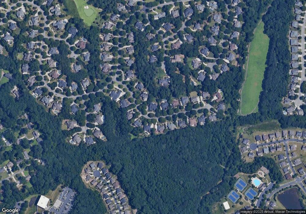
Map
Nearby Homes
- 2775 Whippoorwill Cir
- 2491 Cannon Farm Ln
- 2893 Thurleston Ln
- 2816 Staunton Dr
- 3003 Brookhavenrun Cir
- 2470 Gramercy Park Cir
- 2198 Alnwick Dr
- 2208 Staunton Dr
- 2741 Willowstone Dr
- 2934 Seagull Dr
- 2957 Darlington Run
- 2790 Dogwood Creek Pkwy
- 2770 Dogwood Creek Pkwy
- 2820 Bluebird Cir NW
- 2820 Bluebird Cir
- 2620 Ridge Run Trail
- 2391 Stout Trail
- 2394 Stout Trail
- 2895 Dogwood Creek Pkwy Unit 1
- 2010 Meadow Peak Rd
- 2631 Nutwood Trace
- 2671 Nutwood Trace
- 2621 Nutwood Trace
- 2664 Nutwood Trace
- 2681 Nutwood Trace
- 2674 Nutwood Trace
- 2634 Nutwood Trace
- 2684 Nutwood Trace
- 2708 Chieftain Run
- 2611 Nutwood Trace
- 2624 Nutwood Trace
- 2691 Nutwood Trace
- 2614 Thurleston Ln
- 2614 Nutwood Trace
- 2601 Nutwood Trace
- 2728 Chieftain Run
- 2728 Chieftain Run
- 2728 Chieftain Run Unit 278
- 2584 Thurleston Ln
- 2689 Tranquilla Way
Your Personal Tour Guide
Ask me questions while you tour the home.