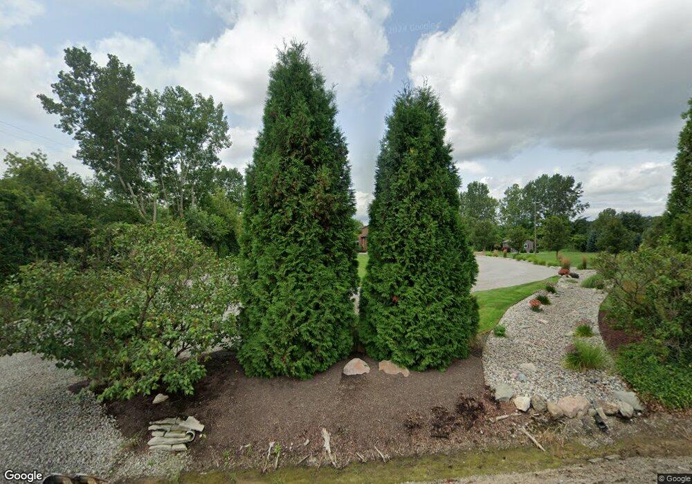
26510 Inkster Rd Flat Rock, MI 48134
Estimated Value: $497,000 - $593,365
Studio
1
Bath
3,047
Sq Ft
$179/Sq Ft
Est. Value
About This Home
This home is located at 26510 Inkster Rd, Flat Rock, MI 48134 and is currently estimated at $545,841, approximately $179 per square foot. 26510 Inkster Rd is a home located in Wayne County with nearby schools including Huron High School.
Ownership History
Date
Name
Owned For
Owner Type
Purchase Details
Closed on
Apr 4, 2012
Sold by
Donaldson Richard S and Donaldson Joan
Bought by
Donaldson Richard S and Richard S Donaldson Living Trust
Current Estimated Value
Home Financials for this Owner
Home Financials are based on the most recent Mortgage that was taken out on this home.
Original Mortgage
$228,000
Interest Rate
3.9%
Mortgage Type
New Conventional
Purchase Details
Closed on
Feb 26, 2008
Sold by
Donaldson Richard S and Donaldson Joan E
Bought by
Donaldson Richard S and Richard S Donaldson Living Trust
Create a Home Valuation Report for This Property
The Home Valuation Report is an in-depth analysis detailing your home's value as well as a comparison with similar homes in the area
Home Values in the Area
Average Home Value in this Area
Purchase History
| Date | Buyer | Sale Price | Title Company |
|---|---|---|---|
| Donaldson Richard S | -- | None Available | |
| Donaldson Richard S | -- | None Available | |
| Donaldson Richard S | -- | None Available |
Source: Public Records
Mortgage History
| Date | Status | Borrower | Loan Amount |
|---|---|---|---|
| Closed | Donaldson Richard S | $228,000 |
Source: Public Records
Tax History
| Year | Tax Paid | Tax Assessment Tax Assessment Total Assessment is a certain percentage of the fair market value that is determined by local assessors to be the total taxable value of land and additions on the property. | Land | Improvement |
|---|---|---|---|---|
| 2025 | $4,991 | $326,300 | $0 | $0 |
| 2024 | $4,991 | $322,800 | $0 | $0 |
| 2023 | $4,760 | $306,100 | $0 | $0 |
| 2022 | $9,626 | $265,500 | $0 | $0 |
| 2021 | $9,611 | $251,800 | $0 | $0 |
| 2020 | $9,513 | $232,400 | $0 | $0 |
| 2019 | $9,062 | $222,600 | $0 | $0 |
| 2018 | $4,160 | $218,200 | $0 | $0 |
| 2017 | $9,529 | $212,400 | $0 | $0 |
| 2016 | $7,971 | $212,400 | $0 | $0 |
| 2015 | $18,026 | $204,200 | $0 | $0 |
Source: Public Records
Map
Nearby Homes
- 27429 W Huron River Dr
- 26998 Celtic Dr
- 27145 James Ave
- 24161 Senate Dr
- 26980 James Ave
- 26721 W Huron River Dr
- 24611 Rock Lake Ct
- 26767 Emma Ave
- 27200 Telegraph Rd
- 28289 Spruce
- 25409 Willowbrook Ct Unit 5
- 26730 Will Carleton Rd
- Vacant Lot John L St
- 25430 Bohn Ct Unit 23
- 26240 Gibraltar Rd
- 26152 Ypsilanti St
- 25352 Canyon Cir
- 28336 Sheeks Blvd N
- 24669 Pamela St
- 4064 Will Carleton Rd
- 26464 Inkster Rd
- 26570 Inkster Rd
- 26426 Inkster Rd
- 26511 Inkster Rd
- 26555 Bates St
- 27368 Hawthorne Blvd
- 26414 Inkster Rd
- 26509 Inkster Rd
- 26507 Inkster Rd
- 26640 Inkster Rd
- 27340 Hawthorne Blvd
- 26575 Bates St
- 26459 Inkster Rd
- 27316 Hawthorne Blvd
- 26656 Inkster Rd
- 27594 W Huron River Dr
- 27626 W Huron River Dr
- 27292 Hawthorne Blvd
- 27610 W Huron River Dr
- 26411 Inkster Rd
Your Personal Tour Guide
Ask me questions while you tour the home.
