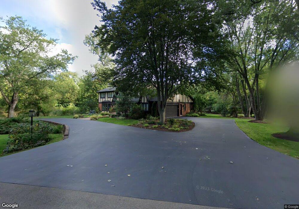
26510 Irving Rd Franklin, MI 48025
Estimated Value: $841,291 - $999,000
4
Beds
4
Baths
3,316
Sq Ft
$275/Sq Ft
Est. Value
About This Home
This home is located at 26510 Irving Rd, Franklin, MI 48025 and is currently estimated at $911,323, approximately $274 per square foot. 26510 Irving Rd is a home located in Oakland County with nearby schools including Wylie E. Groves High School, West Maple Elementary School, and Berkshire Middle School.
Ownership History
Date
Name
Owned For
Owner Type
Purchase Details
Closed on
Mar 14, 2005
Sold by
Terebelo Howard R and Terebelo Robin A
Bought by
Terebelo Robin A and Robin A Terebelo Revocable Trust
Current Estimated Value
Purchase Details
Closed on
Oct 13, 1998
Sold by
Forrest Marlon
Bought by
Terebelo Howard R
Home Financials for this Owner
Home Financials are based on the most recent Mortgage that was taken out on this home.
Original Mortgage
$480,000
Interest Rate
6.76%
Create a Home Valuation Report for This Property
The Home Valuation Report is an in-depth analysis detailing your home's value as well as a comparison with similar homes in the area
Home Values in the Area
Average Home Value in this Area
Purchase History
| Date | Buyer | Sale Price | Title Company |
|---|---|---|---|
| Terebelo Robin A | -- | None Available | |
| Terebelo Howard R | -- | -- |
Source: Public Records
Mortgage History
| Date | Status | Borrower | Loan Amount |
|---|---|---|---|
| Previous Owner | Terebelo Howard R | $480,000 |
Source: Public Records
Tax History Compared to Growth
Tax History
| Year | Tax Paid | Tax Assessment Tax Assessment Total Assessment is a certain percentage of the fair market value that is determined by local assessors to be the total taxable value of land and additions on the property. | Land | Improvement |
|---|---|---|---|---|
| 2024 | $7,351 | $407,900 | $0 | $0 |
| 2023 | $6,970 | $384,540 | $0 | $0 |
| 2022 | $7,543 | $362,170 | $0 | $0 |
| 2021 | $7,512 | $383,290 | $0 | $0 |
| 2020 | $6,410 | $383,640 | $0 | $0 |
| 2019 | $5,840 | $381,950 | $0 | $0 |
| 2018 | $7,570 | $344,910 | $0 | $0 |
| 2017 | $7,470 | $344,910 | $0 | $0 |
| 2016 | $6,897 | $328,570 | $0 | $0 |
| 2015 | -- | $312,290 | $0 | $0 |
| 2014 | -- | $256,810 | $0 | $0 |
| 2011 | -- | $176,060 | $0 | $0 |
Source: Public Records
Map
Nearby Homes
- 26565 Scenic Hwy
- 32696 Ravine Dr
- 26377 Willowgreen Dr
- 27170 W 14 Mile Rd
- 32620 Inkster Rd
- 26075 Woodlore Rd
- 7371 Lindenmere Dr
- 25635 River Dr
- 31145 Woodside Dr
- 4647 Private Lake Dr
- 25690 W 14 Mile Rd
- 32890 Whatley Rd
- 31050 Briarcliff Rd
- 32500 Rock Ridge Ln
- 4428 Old Trinity Ct
- 2189 Colony Club Ct
- 2014 Waldons Ct
- 25330 Devon Ln
- 25325 Devon Ln
- 30714 Franklin Hills Ct
- 26515 Wellington Rd
- 26480 Irving Rd
- 26491 Carol Ave
- 26491 Carol Dr
- 26475 Wellington Rd
- 26475 Carol Ave
- 26440 Irving Rd
- 26475 Carol Dr
- 26590 Wellington Rd
- 26580 Wellington Rd
- 26570 Drummond Ct Unit Bldg-Unit
- 26570 Drummond Ct
- 26431 Carol Dr
- 26450 Carol Ave
- 26450 Carol Dr
- 26410 Irving Rd
- 26470 Wellington Rd
- 26431 Wellington Rd
- 26590 Drummond Ct
- 26530 Drummond Ct