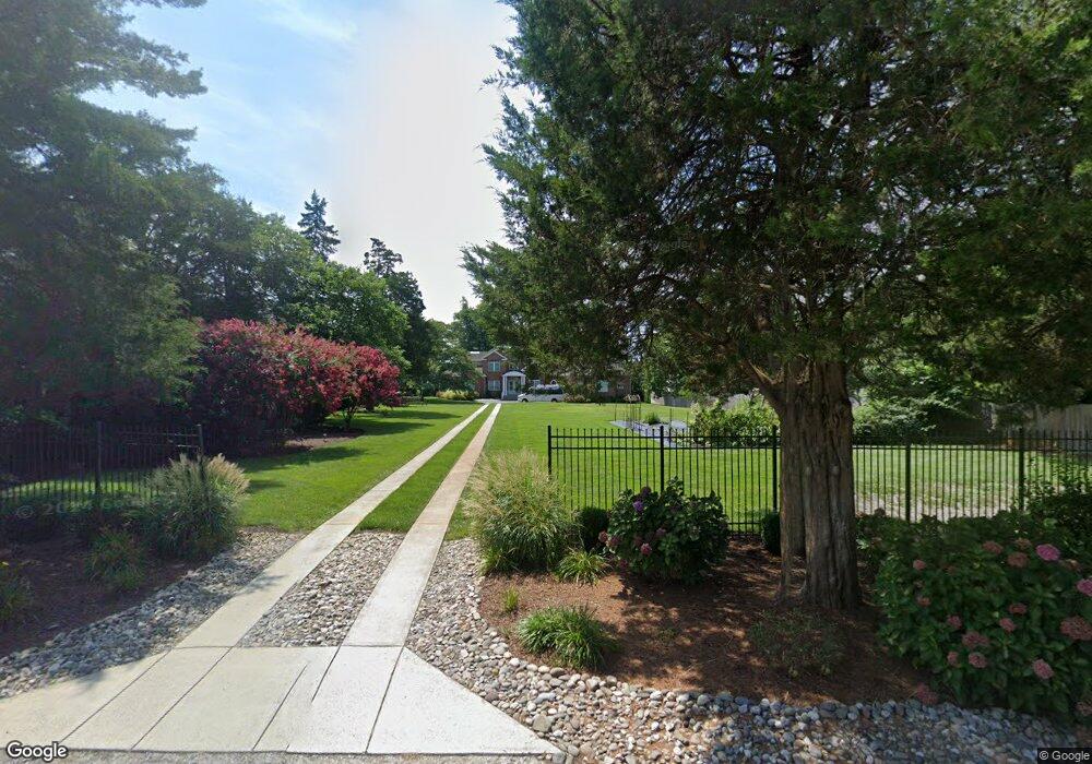
26511 Riverbank Rd Salisbury, MD 21801
South Salisbury NeighborhoodEstimated Value: $409,000 - $1,155,000
Studio
1
Bath
4,217
Sq Ft
$201/Sq Ft
Est. Value
About This Home
This home is located at 26511 Riverbank Rd, Salisbury, MD 21801 and is currently estimated at $846,873, approximately $200 per square foot. 26511 Riverbank Rd is a home located in Wicomico County with nearby schools including Westside Primary School, Westside Intermediate School, and Salisbury Middle School.
Ownership History
Date
Name
Owned For
Owner Type
Purchase Details
Closed on
Jul 28, 2011
Sold by
Davis John C and Davis Renee B
Bought by
Franks Eric H and Franks Robin B
Current Estimated Value
Purchase Details
Closed on
Jul 15, 2011
Sold by
Musgrave David S
Bought by
Franks Eric H and Franks Robin B
Purchase Details
Closed on
Feb 19, 2002
Sold by
Johnson Ejner J and Johnson Nancy H
Bought by
Davis John C and Davis Renee B
Purchase Details
Closed on
Oct 10, 1988
Sold by
O'Neill Dermot and O'Neill Christiona
Bought by
Johnson Ejner J and Johnson Nancy H
Create a Home Valuation Report for This Property
The Home Valuation Report is an in-depth analysis detailing your home's value as well as a comparison with similar homes in the area
Home Values in the Area
Average Home Value in this Area
Purchase History
| Date | Buyer | Sale Price | Title Company |
|---|---|---|---|
| Franks Eric H | $200,000 | -- | |
| Franks Eric H | $200,000 | Delmarva Title | |
| Franks Eric H | $200,000 | -- | |
| Davis John C | $250,000 | -- | |
| Johnson Ejner J | $75,000 | -- |
Source: Public Records
Mortgage History
| Date | Status | Borrower | Loan Amount |
|---|---|---|---|
| Closed | Davis John C | -- |
Source: Public Records
Tax History
| Year | Tax Paid | Tax Assessment Tax Assessment Total Assessment is a certain percentage of the fair market value that is determined by local assessors to be the total taxable value of land and additions on the property. | Land | Improvement |
|---|---|---|---|---|
| 2025 | $60 | $909,733 | $0 | $0 |
| 2024 | $60 | $847,167 | $0 | $0 |
| 2023 | $60 | $784,600 | $152,000 | $632,600 |
| 2022 | $60 | $782,100 | $0 | $0 |
| 2021 | $7,985 | $779,600 | $0 | $0 |
| 2020 | $7,940 | $777,100 | $152,000 | $625,100 |
| 2019 | $7,677 | $740,767 | $0 | $0 |
| 2018 | $7,349 | $704,433 | $0 | $0 |
| 2017 | $6,998 | $668,100 | $0 | $0 |
| 2016 | -- | $627,300 | $0 | $0 |
| 2015 | $3,441 | $142,000 | $0 | $0 |
| 2014 | $3,441 | $194,000 | $0 | $0 |
Source: Public Records
Map
Nearby Homes
- 26188 High Banks Dr
- 5474 Royal Mile Blvd
- 5482 Royal Mile Blvd
- 5423 Loch Ness Terrace
- 5461 Loch Ness Terrace
- 5799 Homestead St
- 5709 Royal Mile Blvd
- 5814 Homestead St
- 5850 Brook St
- 5823 Homestead St
- 5437 Nithsdale Dr
- 26581 Siloam Rd
- 5485 Saint Andrews Dr
- 5991 Hounds Bay Cir
- 0 Campground Rd Unit MDWC2021796
- 27160 Scotland Pkwy
- 26882 Pratt Rd
- 5686 N Nithsdale Dr Unit N
- 5662 Clydesdale Dr
- 5660 Caledonia Dr
- 26525 Riverbank Rd
- 26491 Riverbank Rd
- 26535 Riverbank Rd
- 26559 Riverbank Rd
- 26512 Riverbank Rd
- 26490 Riverbank Rd
- 5420 N Upper Ferry Rd
- 26463 High Banks Dr
- 26567 Riverbank Rd
- 5494 Cedarcrest Rd
- 5503 N Upper Ferry Rd
- 26455 High Banks Dr
- 5508 Cedarcrest Rd
- 26581 Riverbank Rd
- 5515 N Upper Ferry Rd
- 5508 N Upper Ferry Rd
- 26427 High Banks Dr
- 0 Upper Ferry Crossing Unit 1000809330
- 0 Upper Ferry Crossing Unit 1000790272
- 5525 N Upper Ferry Rd
Your Personal Tour Guide
Ask me questions while you tour the home.