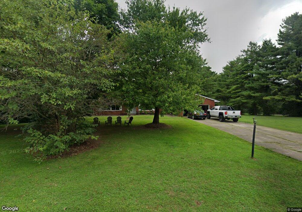
2652 Cornstalk Ave Ashville, OH 43103
Estimated Value: $341,000 - $357,460
3
Beds
3
Baths
1,967
Sq Ft
$178/Sq Ft
Est. Value
About This Home
This home is located at 2652 Cornstalk Ave, Ashville, OH 43103 and is currently estimated at $350,615, approximately $178 per square foot. 2652 Cornstalk Ave is a home located in Pickaway County.
Ownership History
Date
Name
Owned For
Owner Type
Purchase Details
Closed on
Oct 16, 2016
Sold by
Lord Amie Denise and Lord Michael Latham
Bought by
Lord Michael Latham
Current Estimated Value
Purchase Details
Closed on
Aug 23, 2007
Sold by
The Village Of United Methodist Church
Bought by
Lord Michael L
Home Financials for this Owner
Home Financials are based on the most recent Mortgage that was taken out on this home.
Original Mortgage
$168,300
Outstanding Balance
$107,265
Interest Rate
6.79%
Mortgage Type
Purchase Money Mortgage
Estimated Equity
$243,350
Purchase Details
Closed on
Sep 30, 1997
Sold by
Hutchinson Jack V
Bought by
Village United Methodist Church
Home Financials for this Owner
Home Financials are based on the most recent Mortgage that was taken out on this home.
Original Mortgage
$90,000
Interest Rate
7.63%
Mortgage Type
New Conventional
Create a Home Valuation Report for This Property
The Home Valuation Report is an in-depth analysis detailing your home's value as well as a comparison with similar homes in the area
Home Values in the Area
Average Home Value in this Area
Purchase History
| Date | Buyer | Sale Price | Title Company |
|---|---|---|---|
| Lord Michael Latham | -- | Attorney | |
| Lord Michael L | $165,000 | Chicago Title | |
| Village United Methodist Church | $138,000 | -- |
Source: Public Records
Mortgage History
| Date | Status | Borrower | Loan Amount |
|---|---|---|---|
| Open | Lord Michael L | $168,300 | |
| Previous Owner | Village United Methodist Church | $90,000 |
Source: Public Records
Tax History Compared to Growth
Tax History
| Year | Tax Paid | Tax Assessment Tax Assessment Total Assessment is a certain percentage of the fair market value that is determined by local assessors to be the total taxable value of land and additions on the property. | Land | Improvement |
|---|---|---|---|---|
| 2024 | -- | $94,530 | $11,900 | $82,630 |
| 2023 | $3,366 | $94,530 | $11,900 | $82,630 |
| 2022 | $2,643 | $69,260 | $9,740 | $59,520 |
| 2021 | $2,647 | $69,260 | $9,740 | $59,520 |
| 2020 | $2,649 | $69,260 | $9,740 | $59,520 |
| 2019 | $2,193 | $56,510 | $9,740 | $46,770 |
| 2018 | $2,230 | $56,510 | $9,740 | $46,770 |
| 2017 | $2,981 | $56,510 | $9,740 | $46,770 |
| 2016 | $2,301 | $57,280 | $9,740 | $47,540 |
| 2015 | $2,244 | $57,280 | $9,740 | $47,540 |
| 2014 | $2,245 | $57,280 | $9,740 | $47,540 |
| 2013 | $2,344 | $57,280 | $9,740 | $47,540 |
Source: Public Records
Map
Nearby Homes
- 16715 Pontiac Place
- 0 Little Walnut Rd
- 3055 Clifford Ave
- 5009 Roese Ave
- 30 Bazler Ln
- 94 Richard Ave
- 5069 Ashville Rd
- 307 Honeysuckle St
- 234 Dowler Dr
- 302 Honeysuckle St
- 77 Cromley St
- 5050 S Walnut St
- 5049 Lee Rd
- 61 Bortz St
- 5441 Morning Glory St Unit Lot 338
- 5439 Morning Glory St Unit Lot 337
- 5445 Morning Glory St Unit Lot 340
- 5435 Morning Glory St Unit Lot 335
- 5443 Morning Glory St Unit Lot 339
- 170 Jefferson Ave
- 2665 Cornstalk Ave
- 2686 Cornstalk Ave
- 16725 Hiawatha Ave
- 2700 Cornstalk Ave
- 2724 Cornstalk Ave
- 2751 Cornstalk Ave
- 2740 Cornstalk Ave
- 2771 Cornstalk Ave
- 2768 Cornstalk Ave
- 2791 Cornstalk Ave
- 2780 Cornstalk Ave
- 2815 Cornstalk Ave
- 2800 Cornstalk Ave
- 2820 Cornstalk Ave
- 2835 Cornstalk Ave
- 2840 Cornstalk Ave
- 2855 Cornstalk Ave
- 2860 Cornstalk Ave
- 2875 Cornstalk Ave
- 16705 Nokomis Cir