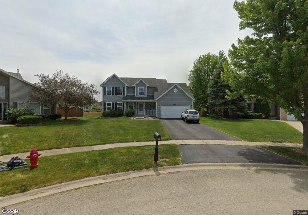
2652 Stonebridge Ct Plainfield, IL 60586
Fall Creek NeighborhoodEstimated Value: $383,738 - $444,000
Studio
1
Bath
2,536
Sq Ft
$163/Sq Ft
Est. Value
About This Home
This home is located at 2652 Stonebridge Ct, Plainfield, IL 60586 and is currently estimated at $413,435, approximately $163 per square foot. 2652 Stonebridge Ct is a home located in Will County with nearby schools including Meadow View Elementary School, Aux Sable Middle School, and Plainfield South High School.
Ownership History
Date
Name
Owned For
Owner Type
Purchase Details
Closed on
Jul 16, 2001
Sold by
First National Bank Of Illinois
Bought by
Wolff Robert M and Wolff Audrey J
Current Estimated Value
Home Financials for this Owner
Home Financials are based on the most recent Mortgage that was taken out on this home.
Original Mortgage
$150,000
Outstanding Balance
$57,890
Interest Rate
7.16%
Estimated Equity
$355,545
Create a Home Valuation Report for This Property
The Home Valuation Report is an in-depth analysis detailing your home's value as well as a comparison with similar homes in the area
Home Values in the Area
Average Home Value in this Area
Purchase History
| Date | Buyer | Sale Price | Title Company |
|---|---|---|---|
| Wolff Robert M | $193,000 | First American Title |
Source: Public Records
Mortgage History
| Date | Status | Borrower | Loan Amount |
|---|---|---|---|
| Open | Wolff Robert M | $150,000 |
Source: Public Records
Tax History
| Year | Tax Paid | Tax Assessment Tax Assessment Total Assessment is a certain percentage of the fair market value that is determined by local assessors to be the total taxable value of land and additions on the property. | Land | Improvement |
|---|---|---|---|---|
| 2024 | $7,998 | $119,366 | $24,935 | $94,431 |
| 2023 | $7,998 | $107,809 | $22,521 | $85,288 |
| 2022 | $7,132 | $96,827 | $20,227 | $76,600 |
| 2021 | $6,762 | $90,493 | $18,904 | $71,589 |
| 2020 | $6,660 | $87,926 | $18,368 | $69,558 |
| 2019 | $6,428 | $83,779 | $17,502 | $66,277 |
| 2018 | $6,152 | $78,715 | $16,444 | $62,271 |
| 2017 | $5,968 | $74,803 | $15,627 | $59,176 |
| 2016 | $5,846 | $71,343 | $14,904 | $56,439 |
| 2015 | $5,454 | $66,832 | $13,962 | $52,870 |
| 2014 | $5,454 | $64,472 | $13,469 | $51,003 |
| 2013 | $5,454 | $64,472 | $13,469 | $51,003 |
Source: Public Records
Map
Nearby Homes
- 6605 Langsford Ln
- 2508 Falls Ct
- 2813 Joe Adler Dr
- 2707 Cedar Breaks Ct Unit 9
- 2509 Ruth Fitzgerald Dr
- 6510 Jack Rogers Ln
- 0001 S State Route 59
- 0002 S State Route 59
- 3005 Art Schultz Dr Unit 4
- 25446 W Ryan Ln
- 6930 Creekside Dr
- 16954 Lucas Dr
- 25424 W Ashton Dr
- 2126 Ingersoll Ct
- 6701 Buchanan Cir
- 6703 Buchanan Cir
- 6707 Buchanan Cir
- 6709 Buchanan Cir
- 2302 Covington Ct
- 6710 Buchanan Cir
- 2654 Stonebridge Ct
- 2650 Stonebridge Ct
- 2615 Joe Adler Dr
- 2700 Stonebridge Ct Unit 5
- 2617 Joe Adler Dr
- 2651 Stonebridge Ct
- 2613 Joe Adler Dr
- 2619 Joe Adler Dr
- 2611 Joe Adler Dr
- 2702 Stonebridge Ct
- 2653 Stonebridge Ct Unit 5
- 6706 Langsford Ln Unit 5
- 2655 Stonebridge Ct Unit 5
- 2621 Joe Adler Dr
- 2609 Joe Adler Dr
- 6708 Langsford Ln
- 6613 Neilis Dr
- 2607 Joe Adler Dr
- 6614 Neilis Dr
- 6710 Langsford Ln
Your Personal Tour Guide
Ask me questions while you tour the home.