26529 Maine Dr Lebanon, MO 65536
Estimated Value: $195,000 - $232,729
1
Bed
1
Bath
972
Sq Ft
$220/Sq Ft
Est. Value
About This Home
This home is located at 26529 Maine Dr, Lebanon, MO 65536 and is currently estimated at $213,432, approximately $219 per square foot. 26529 Maine Dr is a home located in Laclede County with nearby schools including Joel E. Barber Elementary School.
Ownership History
Date
Name
Owned For
Owner Type
Purchase Details
Closed on
Sep 14, 2023
Sold by
Angst Ervin
Bought by
Stacy Stephen M and Stacy Evelyn A
Current Estimated Value
Purchase Details
Closed on
Aug 25, 2021
Sold by
Daniel Samuel and Daniel Gertraud
Bought by
Burroughs Brettt and Burroughs Cindy
Purchase Details
Closed on
Jun 27, 2005
Sold by
Daniel Bill G
Bought by
Daniel Samuel and Daniel Gertraud
Create a Home Valuation Report for This Property
The Home Valuation Report is an in-depth analysis detailing your home's value as well as a comparison with similar homes in the area
Home Values in the Area
Average Home Value in this Area
Purchase History
| Date | Buyer | Sale Price | Title Company |
|---|---|---|---|
| Stacy Stephen M | -- | None Listed On Document | |
| Burroughs Brettt | $25,000 | None Available | |
| Daniel Samuel | -- | Jeffries Abstract & Title In |
Source: Public Records
Tax History Compared to Growth
Tax History
| Year | Tax Paid | Tax Assessment Tax Assessment Total Assessment is a certain percentage of the fair market value that is determined by local assessors to be the total taxable value of land and additions on the property. | Land | Improvement |
|---|---|---|---|---|
| 2025 | $681 | $17,590 | $0 | $0 |
| 2024 | $681 | $15,980 | $0 | $0 |
| 2023 | $179 | $4,240 | $0 | $0 |
| 2022 | $179 | $4,240 | $0 | $0 |
| 2021 | $173 | $9,063 | $2,052 | $7,011 |
| 2020 | $371 | $9,025 | $2,052 | $6,973 |
| 2019 | $369 | $8,890 | $2,050 | $6,840 |
| 2018 | $363 | $8,890 | $2,050 | $6,840 |
| 2017 | $367 | $8,890 | $0 | $0 |
| 2016 | $367 | $8,890 | $0 | $0 |
| 2015 | $367 | $8,890 | $0 | $0 |
| 2014 | $367 | $8,890 | $0 | $0 |
| 2013 | -- | $8,890 | $0 | $0 |
Source: Public Records
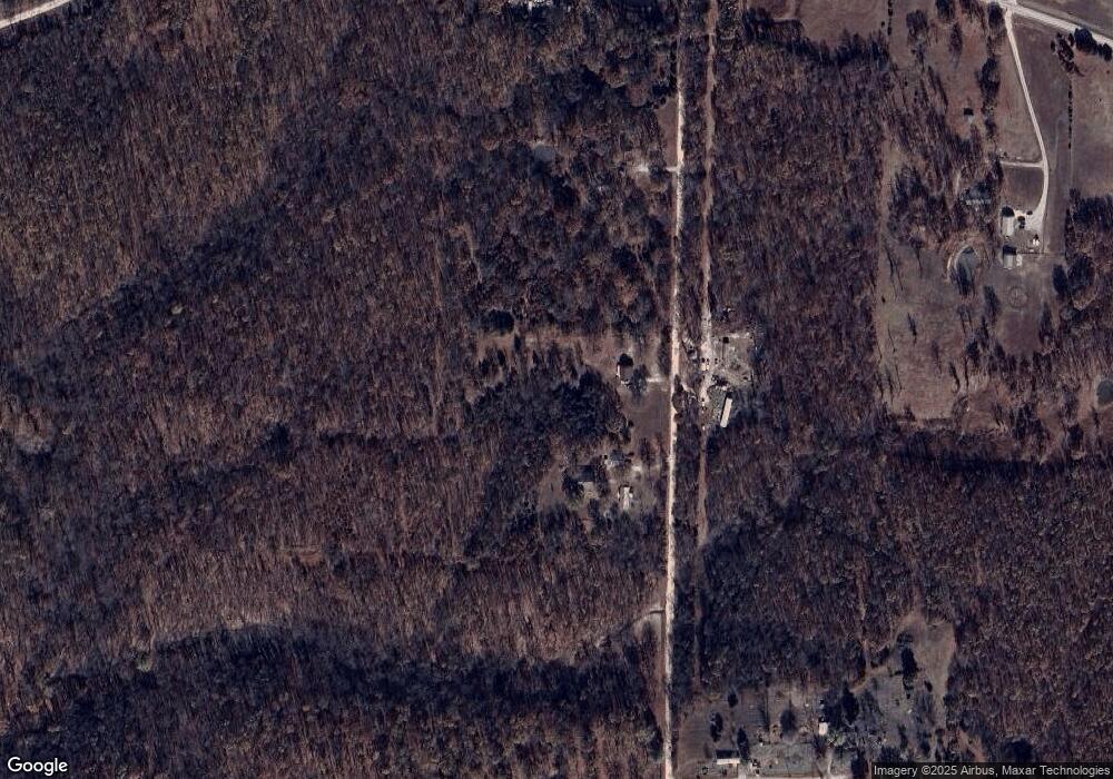
Map
Nearby Homes
- 27409 Missouri Dr
- 25195 Mcbride Dr
- 25575 Misty Oak Dr
- 15800 Highway Ww
- 12913 Highway 64
- 13715 Industry Rd
- 13704 Golden Leaf Ln
- 15650 Highway Ww
- 24960 Mcclurg Dr
- 27805 Millersburg Dr
- 13940 Industry Rd
- 13025 Industry Rd
- 13071 Industry Rd
- 15944 Highway Ww
- Tract G Golden Ln
- Tract D Golden Ln
- Tract C Golden Ln
- 24679 Mineral Dr
- Tract B Glory Ln
- Tbd 1 Glory Ln
- 26625 Maine Dr
- 28351 County Road Ww-961
- 14100 Highway Ww
- 13987 Harvest Rd
- 26151 Maine Dr
- 14025 Highway Ww
- 14025 Highway Ww
- 13803 Harvest Rd
- 13787 Harvest Rd
- 26188 Montauk Dr
- 26412 Montauk Dr
- 13805 Harvest Rd
- 13747 Harvest Rd
- 26547 Montauk Dr
- 26251 Montauk Dr
- 0 Maine Dr Unit 14033754
- 0 Maine Dr Unit 15002321
- 0 Maine Dr Unit 16078576
- 0 Maine Dr Unit MAR24009232