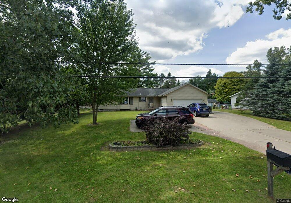
2653 Range Rd Kimball, MI 48074
Kimball NeighborhoodEstimated Value: $269,000 - $383,000
3
Beds
2
Baths
1,783
Sq Ft
$176/Sq Ft
Est. Value
About This Home
This home is located at 2653 Range Rd, Kimball, MI 48074 and is currently estimated at $314,205, approximately $176 per square foot. 2653 Range Rd is a home located in St. Clair County with nearby schools including Indian Woods Elementary School, Central Middle School, and Port Huron High School.
Ownership History
Date
Name
Owned For
Owner Type
Purchase Details
Closed on
Sep 23, 2016
Sold by
Docherty James A
Bought by
Ladmirault Tiffany Y
Current Estimated Value
Home Financials for this Owner
Home Financials are based on the most recent Mortgage that was taken out on this home.
Original Mortgage
$112,000
Outstanding Balance
$89,461
Interest Rate
3.43%
Mortgage Type
New Conventional
Estimated Equity
$224,744
Purchase Details
Closed on
Aug 24, 2007
Sold by
Klaas Michael F and Klaas Diana M
Bought by
Docherty James A and Docherty Louise G
Create a Home Valuation Report for This Property
The Home Valuation Report is an in-depth analysis detailing your home's value as well as a comparison with similar homes in the area
Home Values in the Area
Average Home Value in this Area
Purchase History
| Date | Buyer | Sale Price | Title Company |
|---|---|---|---|
| Ladmirault Tiffany Y | $140,000 | Ata National Title Group | |
| Docherty James A | $17,500 | None Available |
Source: Public Records
Mortgage History
| Date | Status | Borrower | Loan Amount |
|---|---|---|---|
| Open | Ladmirault Tiffany Y | $112,000 |
Source: Public Records
Tax History
| Year | Tax Paid | Tax Assessment Tax Assessment Total Assessment is a certain percentage of the fair market value that is determined by local assessors to be the total taxable value of land and additions on the property. | Land | Improvement |
|---|---|---|---|---|
| 2025 | $1,467 | $135,200 | $0 | $0 |
| 2024 | $1,424 | $126,200 | $0 | $0 |
| 2023 | $1,304 | $122,800 | $0 | $0 |
| 2022 | $2,724 | $111,400 | $0 | $0 |
| 2020 | $2,741 | $93,500 | $93,500 | $0 |
| 2019 | $2,453 | $80,200 | $0 | $0 |
| 2018 | $2,376 | $77,700 | $0 | $0 |
| 2017 | $2,136 | $75,400 | $0 | $0 |
| 2016 | $749 | $75,400 | $0 | $0 |
| 2015 | -- | $71,100 | $71,100 | $0 |
| 2014 | -- | $52,600 | $52,600 | $0 |
| 2013 | -- | $79,800 | $0 | $0 |
Source: Public Records
Map
Nearby Homes
- 2668 Range Rd
- 4380 Lapeer Rd
- 0 Lapeer Rd Unit 50137357
- 4612 Smith Rd
- 4911 Castlewood Dr
- 4459 Cambridge Dr
- 00 Howard Rd
- 0000 Range Rd
- 3115 Spruce Dr
- 0 Allen Rd Unit 20250008597
- 0 Allen Rd Unit 20250008612
- 4224 Atkins Rd
- 0000 W Water St
- 000 Atkins Rd Atkins Rd
- 0000 Atkins Atkins Rd
- 3075 Westcott Dr
- 3349 Charmwood Dr
- 3345 Beach Rd
- 4570 Atkins Rd
- 2710 Evergreen Ln
Your Personal Tour Guide
Ask me questions while you tour the home.