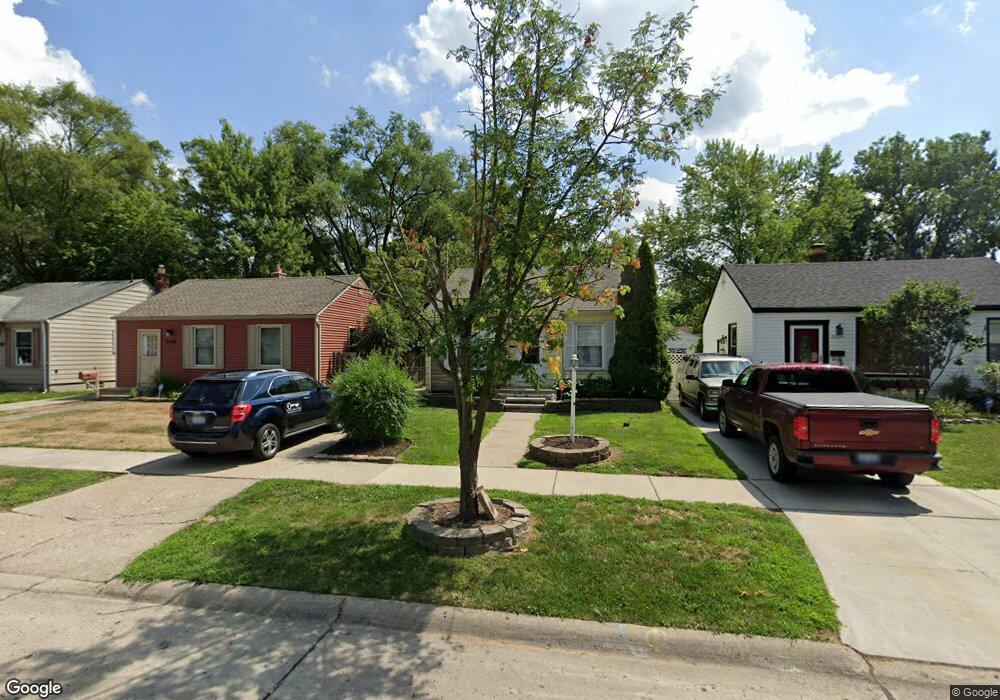
26533 Eton Ave Dearborn Heights, MI 48125
Estimated Value: $114,000 - $133,000
2
Beds
1
Bath
729
Sq Ft
$172/Sq Ft
Est. Value
About This Home
This home is located at 26533 Eton Ave, Dearborn Heights, MI 48125 and is currently estimated at $125,277, approximately $171 per square foot. 26533 Eton Ave is a home located in Wayne County with nearby schools including Quest Charter Academy, West Village Academy, and Peterson-Warren Academy.
Ownership History
Date
Name
Owned For
Owner Type
Purchase Details
Closed on
Jan 25, 2016
Sold by
Clevenger Randy
Bought by
Rc Homes Llc
Current Estimated Value
Purchase Details
Closed on
Jan 30, 2008
Sold by
Mccarthy Michael J and Mccarthy Yvonne I
Bought by
Deutsche Bank National Trust Co and Hsi Asset Securitization Corp 2005-Opt1
Purchase Details
Closed on
Aug 17, 2005
Sold by
Mccarthy Yvonne I and Mccarthy Michael J
Bought by
Mccarthy Yvonne I
Create a Home Valuation Report for This Property
The Home Valuation Report is an in-depth analysis detailing your home's value as well as a comparison with similar homes in the area
Home Values in the Area
Average Home Value in this Area
Purchase History
| Date | Buyer | Sale Price | Title Company |
|---|---|---|---|
| Rc Homes Llc | $101 | None Available | |
| Deutsche Bank National Trust Co | $56,100 | None Available | |
| Mccarthy Yvonne I | -- | Emerald Title |
Source: Public Records
Tax History Compared to Growth
Tax History
| Year | Tax Paid | Tax Assessment Tax Assessment Total Assessment is a certain percentage of the fair market value that is determined by local assessors to be the total taxable value of land and additions on the property. | Land | Improvement |
|---|---|---|---|---|
| 2025 | $1,269 | $61,300 | $0 | $0 |
| 2024 | $1,269 | $50,900 | $0 | $0 |
| 2023 | $1,153 | $43,700 | $0 | $0 |
| 2022 | $1,696 | $36,700 | $0 | $0 |
| 2021 | $1,683 | $32,300 | $0 | $0 |
| 2019 | $1,558 | $25,400 | $0 | $0 |
| 2018 | $1,000 | $24,100 | $0 | $0 |
| 2017 | $1,030 | $23,500 | $0 | $0 |
| 2016 | $1,482 | $23,800 | $0 | $0 |
| 2015 | $2,220 | $22,200 | $0 | $0 |
| 2013 | $2,410 | $25,100 | $0 | $0 |
| 2010 | -- | $29,000 | $0 | $0 |
Source: Public Records
Map
Nearby Homes
- 4863 Glenis St
- 26532 Powers Ave
- 26225 McDonald St
- 26439 Hopkins St
- 26458 Hopkins St
- 26106 Powers Ave
- 5526 Sylvia St
- 26159 Stanford St
- 4110 John Daly St
- 25926 Powers Ave
- 26773 Colgate St
- 25965 Currier St
- 25895 Annapolis St
- 26772 Colgate St
- 26202 Colgate St
- 26231 Andover St
- 5970 John Daly St
- 5993 John Daly St
- 27022 Colgate St
- 26860 Andover St
- 26525 Eton Ave
- 26541 Eton Ave
- 26517 Eton Ave
- 26540 Pennie St
- 26532 Pennie St
- 26549 Eton Ave
- 26509 Eton Ave
- 26516 Pennie St
- 26548 Pennie St
- 26508 Pennie St
- 26397 Eton Ave
- 26396 Pennie St
- 26532 Eton Ave
- 26389 Eton Ave
- 26524 Eton Ave
- 26548 Eton Ave
- 26388 Pennie St
- 26516 Eton Ave
- 26381 Eton Ave
- 26508 Eton Ave