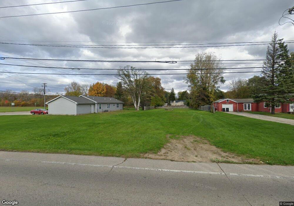
26536 Wick Rd Unit Bldg-Unit Taylor, MI 48180
Estimated Value: $25,745 - $144,000
--
Bed
1
Bath
730
Sq Ft
$86/Sq Ft
Est. Value
About This Home
This home is located at 26536 Wick Rd Unit Bldg-Unit, Taylor, MI 48180 and is currently estimated at $62,686, approximately $85 per square foot. 26536 Wick Rd Unit Bldg-Unit is a home located in Wayne County with nearby schools including Clarence Randall Elementary School, Hoover Middle School, and Taylor High School.
Ownership History
Date
Name
Owned For
Owner Type
Purchase Details
Closed on
Feb 24, 2021
Sold by
Walton Glenn and Walton Chunlian
Bought by
Clark Jerome
Current Estimated Value
Purchase Details
Closed on
Feb 20, 2020
Sold by
Johnson Jared
Bought by
Walton Glenn and Walton Chunlian
Purchase Details
Closed on
Jul 16, 2018
Sold by
Carmody Danielle
Bought by
Johnson Jared
Purchase Details
Closed on
Jan 12, 2018
Sold by
Graham Jeremy
Bought by
Carmody Danielle
Purchase Details
Closed on
May 29, 2003
Sold by
Gravitter Marsha
Bought by
Graham Jeremy
Create a Home Valuation Report for This Property
The Home Valuation Report is an in-depth analysis detailing your home's value as well as a comparison with similar homes in the area
Home Values in the Area
Average Home Value in this Area
Purchase History
| Date | Buyer | Sale Price | Title Company |
|---|---|---|---|
| Clark Jerome | $17,500 | Capital Title Ins Agcy Inc | |
| Walton Glenn | $5,000 | First American Title | |
| Johnson Jared | -- | None Available | |
| Carmody Danielle | $68,400 | Michigan Title Ins Agency In | |
| Graham Jeremy | $82,000 | Michigan Title Insurance Age |
Source: Public Records
Tax History Compared to Growth
Tax History
| Year | Tax Paid | Tax Assessment Tax Assessment Total Assessment is a certain percentage of the fair market value that is determined by local assessors to be the total taxable value of land and additions on the property. | Land | Improvement |
|---|---|---|---|---|
| 2025 | $373 | $7,300 | $0 | $0 |
| 2024 | $373 | $6,300 | $0 | $0 |
| 2023 | $438 | $5,800 | $0 | $0 |
| 2022 | $682 | $5,800 | $0 | $0 |
| 2021 | $716 | $5,600 | $0 | $0 |
| 2020 | $306 | $5,600 | $0 | $0 |
| 2019 | $77,749 | $6,900 | $0 | $0 |
| 2018 | $1,165 | $27,200 | $0 | $0 |
| 2017 | $1,274 | $27,600 | $0 | $0 |
| 2016 | $1,729 | $27,300 | $0 | $0 |
| 2015 | $2,662 | $27,000 | $0 | $0 |
| 2013 | $2,640 | $27,400 | $0 | $0 |
| 2012 | $1,152 | $26,600 | $7,800 | $18,800 |
Source: Public Records
Map
Nearby Homes
- 9425 Glenis St
- 9404 Princess St
- 9450 Continental Dr
- 8883 Beech Daly Rd
- 8853 Beech Daly Rd
- 9915 Beech Daly Rd
- 25652 Chernick St
- 26031 Gary St Unit RV100
- 26110 Gary St Unit RV076
- 10051 Fairview St
- 26034 Gary St Unit RV072
- 25339 Baker St
- 25315 Baker St
- 26128 5th St Unit RA216
- 26020 Gary St Unit RV065
- 7328 Chesterfield St Unit RA265
- 26030 Lori St Unit RV014
- 7330 Chesterfield St Unit RA266
- 26118 5th St Unit RA211
- 26107 5th St Unit RA237
