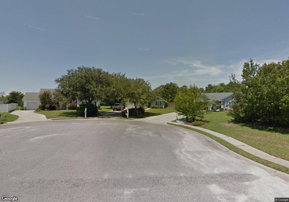
2655 Corn Pile Rd Myrtle Beach, SC 29588
Estimated Value: $299,000 - $326,000
3
Beds
2
Baths
1,390
Sq Ft
$225/Sq Ft
Est. Value
About This Home
This home is located at 2655 Corn Pile Rd, Myrtle Beach, SC 29588 and is currently estimated at $312,347, approximately $224 per square foot. 2655 Corn Pile Rd is a home located in Horry County with nearby schools including Forestbrook Elementary School, Forestbrook Middle School, and Socastee High School.
Ownership History
Date
Name
Owned For
Owner Type
Purchase Details
Closed on
Jan 1, 2022
Sold by
Harrill William B
Bought by
Harrill William B and Harrill Sandra K
Current Estimated Value
Home Financials for this Owner
Home Financials are based on the most recent Mortgage that was taken out on this home.
Original Mortgage
$68,500
Interest Rate
2.3%
Mortgage Type
New Conventional
Purchase Details
Closed on
Aug 16, 2002
Sold by
Harrill William B and Harrill Sandra J
Bought by
Harrill William B and Harrill Sandra J
Purchase Details
Closed on
Oct 25, 2001
Sold by
Royal Oaks Construction Inc
Bought by
Harrill William B and Harrill Sandra K
Create a Home Valuation Report for This Property
The Home Valuation Report is an in-depth analysis detailing your home's value as well as a comparison with similar homes in the area
Home Values in the Area
Average Home Value in this Area
Purchase History
| Date | Buyer | Sale Price | Title Company |
|---|---|---|---|
| Harrill William B | -- | -- | |
| Harrill William B | -- | -- | |
| Harrill William B | $128,900 | -- |
Source: Public Records
Mortgage History
| Date | Status | Borrower | Loan Amount |
|---|---|---|---|
| Previous Owner | Harrill William B | $68,500 |
Source: Public Records
Tax History
| Year | Tax Paid | Tax Assessment Tax Assessment Total Assessment is a certain percentage of the fair market value that is determined by local assessors to be the total taxable value of land and additions on the property. | Land | Improvement |
|---|---|---|---|---|
| 2025 | -- | $0 | $0 | $0 |
| 2024 | -- | $12,163 | $5,583 | $6,580 |
| 2023 | $509 | $6,277 | $1,925 | $4,352 |
| 2021 | $494 | $7,390 | $2,278 | $5,112 |
| 2020 | $417 | $7,390 | $2,278 | $5,112 |
| 2019 | $417 | $7,390 | $2,278 | $5,112 |
| 2018 | $354 | $5,458 | $1,666 | $3,792 |
| 2017 | $519 | $5,458 | $1,666 | $3,792 |
| 2016 | -- | $5,458 | $1,666 | $3,792 |
| 2015 | $519 | $5,459 | $1,667 | $3,792 |
| 2014 | $479 | $5,459 | $1,667 | $3,792 |
Source: Public Records
Map
Nearby Homes
- 2540 Bearstand Trail
- 2463 Hunters Trail
- 2459 Hunters Trail
- 2425 Hunters Trail
- 2560 Wild Game Trail Unit Hunters Ridge
- 281 La Patos Dr
- 780 Harrison Mill St
- 3845 Camden Dr
- 2410 Hunters Trail
- 3312 Piney Woods Way
- 4121 Whatuthink Rd
- 837 Harrison Mill St
- 3217 Shadowpine Ct
- 3007 Visionary Dr
- 1132 Harbison Cir
- 621 Cottontail Trail
- 117 Maddux Ln Unit E
- 125 Marsh Rabbit Dr
- 629 Cottontail Trail Unit Hunters Ridge Crossi
- 6096 Zoe Way Unit 819
- 2657 Corn Pile Rd
- 2653 Corn Pile Rd
- 2631 Corn Pile Rd
- 2659 Corn Pile Rd
- 2651 Corn Pile Rd
- 2702 Canvasback Trail
- 2704 Canvasback Trail
- 2700 Canvasback Trail
- LOT 222 Corn Pile Rd
- Lot 232 Corn Pile Rd
- LOT 222 Corn Pile Rd Unit LOT 222 HUNTERS RID
- 2647 Corn Pile Rd
- 2652 Corn Pile Rd
- 2663 Corn Pile Rd
- 2650 Corn Pile Rd
- 2706 Canvasback Trail
- 2703 Canvasback Trail Unit Hunters Ridge
- 2645 Corn Pile Rd
- 2662 Corn Pile Rd
- 2648 Corn Pile Rd