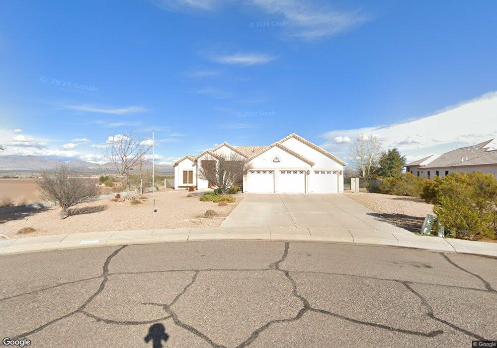
2656 W Mockingbird Loop Thatcher, AZ 85552
Estimated Value: $428,000 - $542,000
Studio
--
Bath
2,529
Sq Ft
$191/Sq Ft
Est. Value
About This Home
This home is located at 2656 W Mockingbird Loop, Thatcher, AZ 85552 and is currently estimated at $483,867, approximately $191 per square foot. 2656 W Mockingbird Loop is a home located in Graham County with nearby schools including Jack Daley Primary School, Thatcher Elementary School, and Thatcher Middle School.
Ownership History
Date
Name
Owned For
Owner Type
Purchase Details
Closed on
Aug 24, 2005
Sold by
Quail Ridge Construction Company Inc
Bought by
Martin John W and Martin Marcia A
Current Estimated Value
Home Financials for this Owner
Home Financials are based on the most recent Mortgage that was taken out on this home.
Original Mortgage
$230,000
Outstanding Balance
$120,434
Interest Rate
5.61%
Mortgage Type
New Conventional
Estimated Equity
$363,433
Create a Home Valuation Report for This Property
The Home Valuation Report is an in-depth analysis detailing your home's value as well as a comparison with similar homes in the area
Home Values in the Area
Average Home Value in this Area
Purchase History
| Date | Buyer | Sale Price | Title Company |
|---|---|---|---|
| Martin John W | $346,595 | Pioneer Title Agency | |
| Quail Ridge Construction Company Inc | -- | Pioneer Title Agency |
Source: Public Records
Mortgage History
| Date | Status | Borrower | Loan Amount |
|---|---|---|---|
| Open | Martin John W | $230,000 |
Source: Public Records
Tax History
| Year | Tax Paid | Tax Assessment Tax Assessment Total Assessment is a certain percentage of the fair market value that is determined by local assessors to be the total taxable value of land and additions on the property. | Land | Improvement |
|---|---|---|---|---|
| 2027 | $1,945 | -- | -- | -- |
| 2026 | $1,716 | -- | -- | -- |
| 2025 | $1,716 | $35,139 | $3,606 | $31,533 |
| 2024 | $1,689 | $35,449 | $3,606 | $31,843 |
| 2023 | $1,689 | $30,340 | $3,606 | $26,734 |
| 2022 | $1,656 | $27,298 | $3,606 | $23,692 |
| 2021 | $1,894 | $0 | $0 | $0 |
| 2020 | $2,399 | $0 | $0 | $0 |
| 2019 | $2,485 | $0 | $0 | $0 |
| 2018 | $2,386 | $0 | $0 | $0 |
| 2017 | $2,240 | $0 | $0 | $0 |
| 2016 | $2,273 | $0 | $0 | $0 |
| 2015 | $2,088 | $0 | $0 | $0 |
Source: Public Records
Map
Nearby Homes
- 1551 S Mockingbird Loop
- 1507 S Pheasant Ln
- 1472 S Roadrunner Ln
- 849 S Lucille
- 5052 S 20th Ave
- 2972 W Michaud Ln
- 0 S 20th Ave Unit no
- 1385 S Meadow Ln
- 3140 W 8th St
- 1601 W 14th Dr
- 1879 W Peppertree Dr Unit C12
- 487 S Dusty Trail
- 1630 W Cobblestone Dr
- 3650 Logan
- 1582 W Stone Willow Way
- 2902 W Johnny Dr
- 2890 W Johnny Dr
- 2901 Eagle Dr
- 2890 Eagle Dr
- 2914 Eagle Dr
- 1507 S Mockingbird Loop
- 1527 S Mockingbird Loop
- 2708 W Mockingbird Loop
- 1545 S Mockingbird Loop
- 2720 W Mockingbird Loop
- 2656 W Dove Ln
- 2642 W Dove Ln
- 2618 W Dove Ln
- 2630 W Dove Ln
- 2625 W Relation St
- 2708 W Dove Ln
- 1526 S Mockingbird Loop
- 2740 W Mockingbird Loop
- 2598 W Dove Ln
- 2720 W Dove Ln
- 1506 S Mockingbird Loop
- 2649 W Dove Ln
- 2655 W Dove Ln
- 2641 W Dove Ln
- 2631 W Dove Ln
Your Personal Tour Guide
Ask me questions while you tour the home.