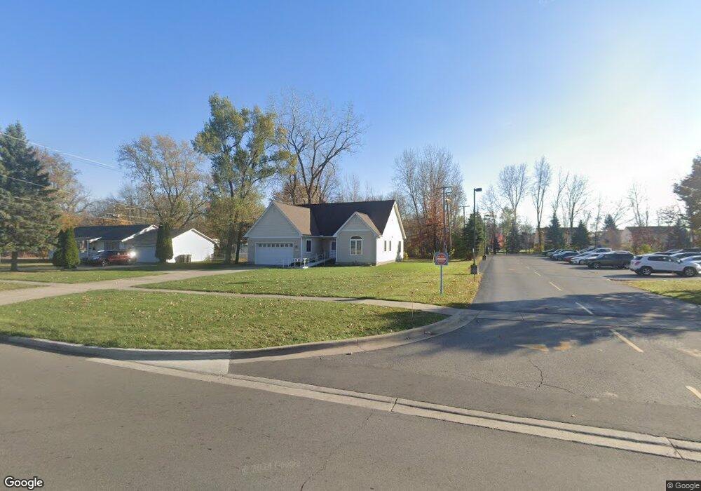
26561 Goddard Rd Taylor, MI 48180
Estimated Value: $333,019 - $406,000
Studio
1
Bath
2,622
Sq Ft
$144/Sq Ft
Est. Value
About This Home
This home is located at 26561 Goddard Rd, Taylor, MI 48180 and is currently estimated at $377,005, approximately $143 per square foot. 26561 Goddard Rd is a home located in Wayne County with nearby schools including Holland Elementary School, Hoover Middle School, and Taylor High School.
Ownership History
Date
Name
Owned For
Owner Type
Purchase Details
Closed on
Dec 18, 2012
Sold by
T & H Development Llc
Bought by
Smith Curtis
Current Estimated Value
Home Financials for this Owner
Home Financials are based on the most recent Mortgage that was taken out on this home.
Original Mortgage
$105,000
Outstanding Balance
$19,329
Interest Rate
3.38%
Mortgage Type
Purchase Money Mortgage
Estimated Equity
$357,676
Create a Home Valuation Report for This Property
The Home Valuation Report is an in-depth analysis detailing your home's value as well as a comparison with similar homes in the area
Home Values in the Area
Average Home Value in this Area
Purchase History
| Date | Buyer | Sale Price | Title Company |
|---|---|---|---|
| Smith Curtis | $130,000 | None Available |
Source: Public Records
Mortgage History
| Date | Status | Borrower | Loan Amount |
|---|---|---|---|
| Open | Smith Curtis | $105,000 |
Source: Public Records
Tax History
| Year | Tax Paid | Tax Assessment Tax Assessment Total Assessment is a certain percentage of the fair market value that is determined by local assessors to be the total taxable value of land and additions on the property. | Land | Improvement |
|---|---|---|---|---|
| 2025 | $3,865 | $157,300 | $0 | $0 |
| 2024 | $3,743 | $141,800 | $0 | $0 |
| 2023 | $4,524 | $109,800 | $0 | $0 |
| 2022 | $3,572 | $99,400 | $0 | $0 |
| 2021 | $4,097 | $94,800 | $0 | $0 |
| 2020 | $4,062 | $96,000 | $0 | $0 |
| 2019 | $434,999 | $75,400 | $0 | $0 |
| 2018 | $3,067 | $97,200 | $0 | $0 |
| 2017 | $1,792 | $90,300 | $0 | $0 |
| 2016 | $3,862 | $87,600 | $0 | $0 |
| 2015 | $6,929 | $77,100 | $0 | $0 |
| 2013 | $6,950 | $72,700 | $0 | $0 |
| 2012 | $4,969 | $75,000 | $12,300 | $62,700 |
Source: Public Records
Map
Nearby Homes
- 11216 Cape Cod St
- 11098 Partridge Dr Unit 12
- 11098 Partridge Dr
- 26376 Partridge Dr Unit 89
- 26400 Partridge Dr Unit 88
- 11516 Pheasant Cir
- 11890 Partridge Dr Unit 91
- 11737 Partridge Dr Unit 70
- 11825 Partridge Dr Unit 74
- 11847 Partridge Dr Unit 75
- 11715 Partridge Dr Unit 69
- 11693 Partridge Dr Unit 38
- 11693 Partridge Dr
- 0 Goddard Unit 20251010304
- 25790 Madden St
- 26336 Kinyon St
- 9717 Rose St
- 25519 Rusty St
- 25556 Rusty St
- 12000 Inkster Rd
- 26541 Goddard Rd
- 26525 Goddard Rd
- 26505 Goddard Rd
- 26485 Goddard Rd
- 11025 Parkside Dr
- 26640 Goddard Rd
- 11100 Cape Cod St
- 26600 Parkside Dr
- 26465 Goddard Rd
- 26630 Parkside Dr Unit 12
- 26727 Goddard Rd
- 11080 Cape Cod St
- 26650 Parkside Dr
- 26629 Parkside Dr
- 11067 Parkside Dr
- 26445 Goddard Rd
- 11154 Cape Cod St
- 11168 Cape Cod St
- 10920 Holland Rd
- 26710 Parkside Dr
Your Personal Tour Guide
Ask me questions while you tour the home.