26561 S 470 Rd Tahlequah, OK 74464
Estimated Value: $268,916 - $372,000
3
Beds
2
Baths
1,708
Sq Ft
$180/Sq Ft
Est. Value
About This Home
This home is located at 26561 S 470 Rd, Tahlequah, OK 74464 and is currently estimated at $307,229, approximately $179 per square foot. 26561 S 470 Rd is a home.
Ownership History
Date
Name
Owned For
Owner Type
Purchase Details
Closed on
Jun 26, 2019
Sold by
Torix Berry and Torix Kimberly
Bought by
Hummingbird George L and Hummingbird Lorie A
Current Estimated Value
Home Financials for this Owner
Home Financials are based on the most recent Mortgage that was taken out on this home.
Original Mortgage
$171,643
Interest Rate
3.7%
Mortgage Type
FHA
Purchase Details
Closed on
Mar 26, 2009
Sold by
Torix Deborah
Bought by
Torix Berry
Home Financials for this Owner
Home Financials are based on the most recent Mortgage that was taken out on this home.
Original Mortgage
$141,250
Interest Rate
5.21%
Mortgage Type
Purchase Money Mortgage
Create a Home Valuation Report for This Property
The Home Valuation Report is an in-depth analysis detailing your home's value as well as a comparison with similar homes in the area
Home Values in the Area
Average Home Value in this Area
Purchase History
| Date | Buyer | Sale Price | Title Company |
|---|---|---|---|
| Hummingbird George L | $173,000 | First American Title Ins Co | |
| Torix Berry | -- | None Available |
Source: Public Records
Mortgage History
| Date | Status | Borrower | Loan Amount |
|---|---|---|---|
| Previous Owner | Hummingbird George L | $171,643 | |
| Previous Owner | Torix Berry | $141,250 |
Source: Public Records
Tax History Compared to Growth
Tax History
| Year | Tax Paid | Tax Assessment Tax Assessment Total Assessment is a certain percentage of the fair market value that is determined by local assessors to be the total taxable value of land and additions on the property. | Land | Improvement |
|---|---|---|---|---|
| 2025 | $1,513 | $19,981 | $2,882 | $17,099 |
| 2024 | $1,513 | $19,030 | $2,475 | $16,555 |
| 2023 | $1,513 | $19,030 | $2,475 | $16,555 |
| 2022 | $1,542 | $19,030 | $2,475 | $16,555 |
| 2021 | $1,551 | $19,030 | $2,475 | $16,555 |
| 2020 | $1,584 | $19,030 | $2,475 | $16,555 |
| 2019 | $1,107 | $13,372 | $366 | $13,006 |
| 2018 | $1,037 | $13,372 | $366 | $13,006 |
| 2017 | $1,126 | $13,296 | $363 | $12,933 |
| 2016 | $1,091 | $12,909 | $1,007 | $11,902 |
| 2015 | $1,025 | $12,294 | $825 | $11,469 |
| 2014 | $996 | $11,950 | $825 | $11,125 |
Source: Public Records
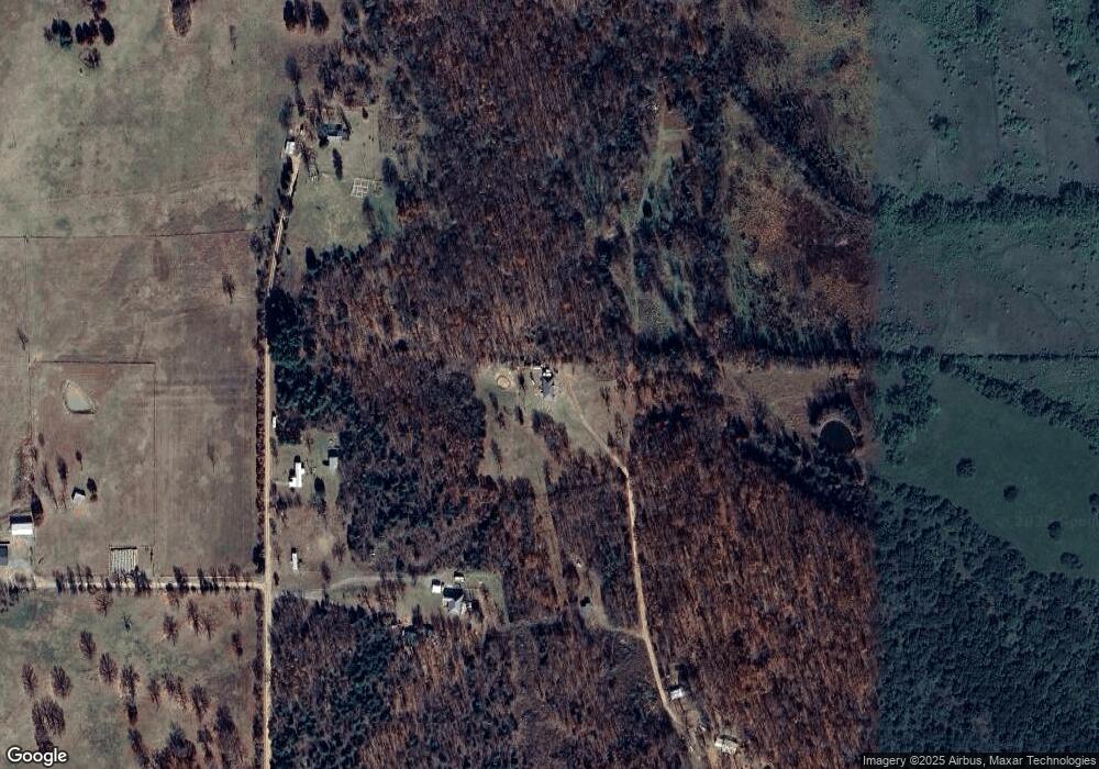
Map
Nearby Homes
- 13670 W 834 Rd
- 12910 W Southern Oaks St
- 12890 W Southern Oaks St
- 0 Hwy 62 Hwy Unit 2532149
- 0 Hwy 62 Hwy Unit 2532139
- 0 Hwy 62 Hwy Unit 2532141
- 0 Hwy 62 Hwy Unit 2532145
- 27254 S 490 Rd
- 12219 U S 62
- 0 S Qualls Rd Unit 2543872
- 14650 W 835 Rd
- 0 S 500 Rd Unit 2526574
- 0 S 500 Rd Unit 2526465
- 16920 W 828 Rd
- 16981 W 828 Rd
- 30073 S Qualls Rd
- 24481 S Manard Rd
- 17611 W Stone Chapel Rd
- 11396 W Joyce Ln
- TBD Canyon Rock Rd