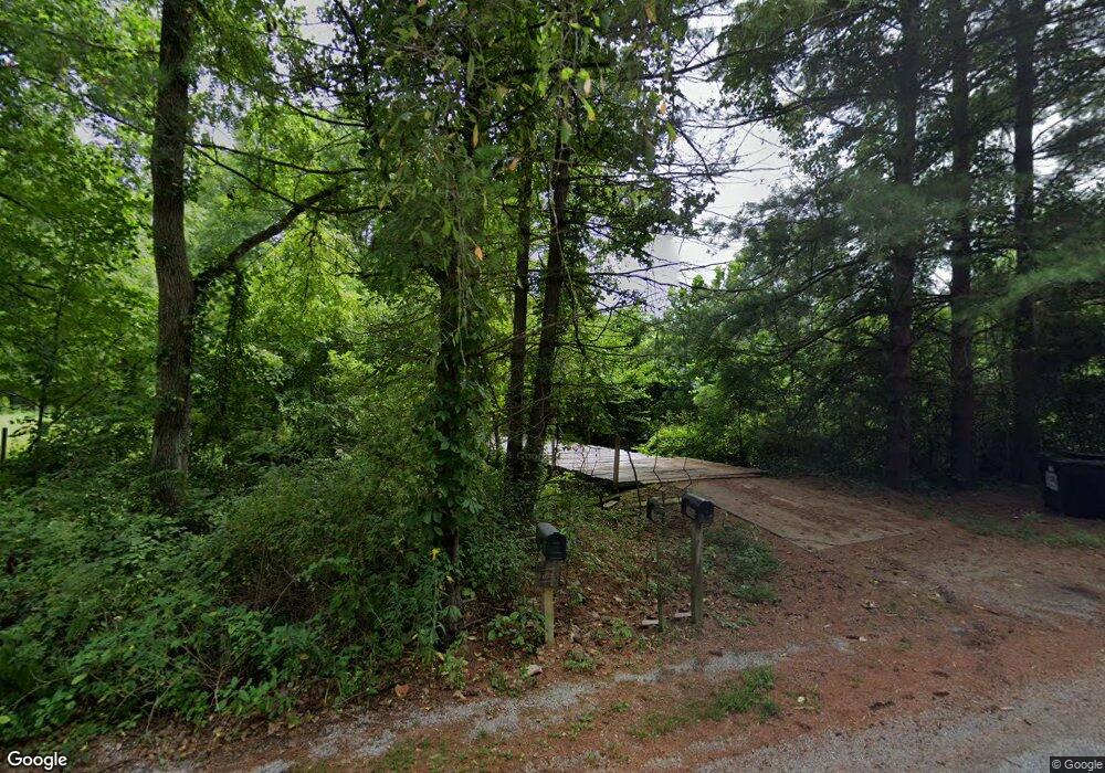
26566 E Fork Rd Laurelville, OH 43135
Estimated Value: $304,000 - $377,679
Studio
2
Baths
1,260
Sq Ft
$271/Sq Ft
Est. Value
About This Home
This home is located at 26566 E Fork Rd, Laurelville, OH 43135 and is currently estimated at $341,893, approximately $271 per square foot. 26566 E Fork Rd is a home located in Vinton County with nearby schools including Vinton County High School.
Ownership History
Date
Name
Owned For
Owner Type
Purchase Details
Closed on
Jan 18, 2006
Sold by
Burgoon Jack L and Burgoon Gwen L
Bought by
Ohlinger Roy W and Ohlinger Janell E
Current Estimated Value
Home Financials for this Owner
Home Financials are based on the most recent Mortgage that was taken out on this home.
Original Mortgage
$97,750
Interest Rate
6.42%
Mortgage Type
Future Advance Clause Open End Mortgage
Create a Home Valuation Report for This Property
The Home Valuation Report is an in-depth analysis detailing your home's value as well as a comparison with similar homes in the area
Purchase History
| Date | Buyer | Sale Price | Title Company |
|---|---|---|---|
| Ohlinger Roy W | -- | -- |
Source: Public Records
Mortgage History
| Date | Status | Borrower | Loan Amount |
|---|---|---|---|
| Closed | Ohlinger Roy W | $97,750 |
Source: Public Records
Tax History
| Year | Tax Paid | Tax Assessment Tax Assessment Total Assessment is a certain percentage of the fair market value that is determined by local assessors to be the total taxable value of land and additions on the property. | Land | Improvement |
|---|---|---|---|---|
| 2024 | $2,916 | $87,700 | $26,650 | $61,050 |
| 2023 | $2,433 | $66,210 | $18,500 | $47,710 |
| 2022 | $2,441 | $66,210 | $18,500 | $47,710 |
| 2021 | $2,431 | $66,210 | $18,500 | $47,710 |
| 2020 | $2,488 | $64,470 | $14,130 | $50,340 |
| 2019 | $2,483 | $64,470 | $14,130 | $50,340 |
| 2018 | $2,462 | $64,470 | $14,130 | $50,340 |
| 2017 | $2,291 | $58,600 | $12,850 | $45,750 |
| 2016 | $2,285 | $58,600 | $12,850 | $45,750 |
| 2015 | $2,037 | $55,650 | $12,600 | $43,050 |
| 2014 | $2,037 | $55,650 | $12,600 | $43,050 |
Source: Public Records
Map
Nearby Homes
- 0 E Fork Rd
- 28573 Ohio 327
- 24796 E Fork Rd
- 0 Bellia Rd
- 23858 State Route 327
- 23584 Conrad Rd
- 25602 Narrows Rd
- 30129 Steven Branch Rd
- 24272 Conrad Rd
- 22916 Sams Creek Rd
- 0 Sam's Creek Rd Unit 225006076
- 4 Sams Creek Rd
- 29225 Gearing Ridge Rd
- 31382 Stevens Branch Rd
- 31557 French Rd
- 32120 Fout Rd
- 56953 Mills Rd
- 21401 State Route 327
- 53430 State Route 671
- 57488 Walnut Grove Rd
- 26868 E Fork Rd
- 26561 E Fork Rd
- 26549 E Fork Rd
- 26492 E Fork Rd
- 26702 E Fork Rd
- 7054 Warner Huffer Rd
- 27121 State Route 327
- 0 Township Highway 12
- 26518 State Route 327
- 0 E Albright Rd Unit 178517
- 0 E Albright Rd Unit 166618
- 0 E Albright Rd Unit 2429609
- 0 E Albright Rd Unit 222023437
- 27407 State Route 327
- 27416 State Route 327
- 26390 State Route 327
- 26316 E Tr 12 Rd
- 27453 State Route 327
- 27453 State Route 327
- 27485 State Route 327
Your Personal Tour Guide
Ask me questions while you tour the home.
