Estimated Value: $186,015 - $316,000
3
Beds
1
Bath
2,354
Sq Ft
$112/Sq Ft
Est. Value
About This Home
This home is located at 2657 Pulver Rd, Lucas, OH 44843 and is currently estimated at $262,504, approximately $111 per square foot. 2657 Pulver Rd is a home located in Richland County with nearby schools including Lucas Elementary School, Lucas Heritage Middle School, and Lucas High School.
Ownership History
Date
Name
Owned For
Owner Type
Purchase Details
Closed on
Oct 19, 2023
Sold by
Spohn Jason E and Jones Vanessa L
Bought by
Spohn Jason E and Spohn Rebekah J
Current Estimated Value
Purchase Details
Closed on
Sep 12, 2003
Sold by
Spohn William A and Spohn Susan K
Bought by
Spohn Jason E and Spohn Rebekah J
Home Financials for this Owner
Home Financials are based on the most recent Mortgage that was taken out on this home.
Original Mortgage
$130,000
Interest Rate
7%
Mortgage Type
Purchase Money Mortgage
Purchase Details
Closed on
Mar 3, 1997
Sold by
Spohn Richard E
Bought by
Spohn Jason E and Spohn William
Create a Home Valuation Report for This Property
The Home Valuation Report is an in-depth analysis detailing your home's value as well as a comparison with similar homes in the area
Home Values in the Area
Average Home Value in this Area
Purchase History
| Date | Buyer | Sale Price | Title Company |
|---|---|---|---|
| Spohn Jason E | -- | None Listed On Document | |
| Spohn Jason E | -- | None Listed On Document | |
| Spohn Jason E | -- | Chelsea Title Agency | |
| Spohn Jason E | $10,000 | -- |
Source: Public Records
Mortgage History
| Date | Status | Borrower | Loan Amount |
|---|---|---|---|
| Previous Owner | Spohn Jason E | $130,000 |
Source: Public Records
Tax History Compared to Growth
Tax History
| Year | Tax Paid | Tax Assessment Tax Assessment Total Assessment is a certain percentage of the fair market value that is determined by local assessors to be the total taxable value of land and additions on the property. | Land | Improvement |
|---|---|---|---|---|
| 2024 | $998 | $51,610 | $8,280 | $43,330 |
| 2023 | $2,152 | $51,610 | $8,280 | $43,330 |
| 2022 | $2,223 | $47,260 | $8,880 | $38,380 |
| 2021 | $2,227 | $47,260 | $8,880 | $38,380 |
| 2020 | $2,263 | $47,260 | $8,880 | $38,380 |
| 2019 | $2,069 | $40,590 | $7,530 | $33,060 |
| 2018 | $2,129 | $40,590 | $7,530 | $33,060 |
| 2017 | $2,126 | $40,590 | $7,530 | $33,060 |
| 2016 | $2,108 | $40,370 | $6,780 | $33,590 |
| 2015 | $2,107 | $40,370 | $6,780 | $33,590 |
| 2014 | $2,119 | $40,370 | $6,780 | $33,590 |
| 2012 | $2,087 | $40,370 | $6,780 | $33,590 |
Source: Public Records
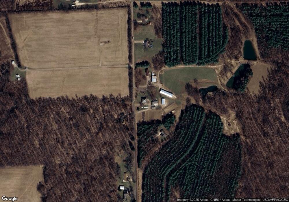
Map
Nearby Homes
- 0 Garver Rd Washington Rd S Unit 20253648
- 1135 E Hanley Rd
- 2061 Washington North Rd
- 0 Garver Washington Rd S
- 0 Tucker Rd
- 2905 Tucker Rd
- 1679 Pulver Rd
- 174 W Main St
- 2221 Pleasant Valley Rd
- 0 Moffett Rd
- 3261 Moffett Rd
- 1875 Mansfield Lucas Rd
- 3362 Possum Run Rd
- 0 Garver Rd
- 0 Woodville Rd Unit Lot 14952, 14953
- 0 Woodville Rd Unit Lot 14954, 14955
- 0 Woodville Rd Unit Lot 14956, 14957,
- 929 Antionette Dr
- 2733 Stafford Dr
- 0 Anderson Rd
- 2633 Pulver Rd
- 537 Pulver Rd
- 2665 Pulver Rd
- 2597 Pulver Rd
- 2734 Pulver Rd
- 2575 Pulver Rd
- 2754 Pulver Rd
- 2562 Pulver Rd
- 2613 Pulver Rd
- 2531 Pulver Rd
- 2808 Pulver Rd
- 2820 Pulver Rd
- 2825 Pulver Rd
- 2516 Pulver Rd
- 2471 Pulver Rd
- 2866 Pulver Rd
- 1401 Pleasant Valley Rd
- 1599 Pleasant Valley Rd
- 2444 Pulver Rd
- 2384 Pulver Rd