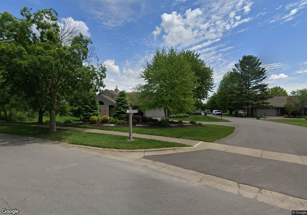
2658 Railside Cir Byron Center, MI 49315
Estimated Value: $437,823 - $524,000
1
Bed
2
Baths
1
Sq Ft
$475,456/Sq Ft
Est. Value
About This Home
This home is located at 2658 Railside Cir, Byron Center, MI 49315 and is currently estimated at $475,456, approximately $475,456 per square foot. 2658 Railside Cir is a home located in Kent County with nearby schools including Brown Elementary School, Robert L. Nickels Intermediate School, and Byron Center West Middle School.
Ownership History
Date
Name
Owned For
Owner Type
Purchase Details
Closed on
Jul 7, 2025
Sold by
Rennick Joseph Edward
Bought by
Rennick Joseph Edward and Rennick Sherry L
Current Estimated Value
Home Financials for this Owner
Home Financials are based on the most recent Mortgage that was taken out on this home.
Original Mortgage
$445,550
Outstanding Balance
$444,390
Interest Rate
6.74%
Mortgage Type
New Conventional
Estimated Equity
$31,066
Purchase Details
Closed on
Mar 19, 2021
Sold by
Robinson Brian and Robinson Grace
Bought by
Rennick Joseph Edward
Home Financials for this Owner
Home Financials are based on the most recent Mortgage that was taken out on this home.
Original Mortgage
$332,500
Interest Rate
2.8%
Mortgage Type
New Conventional
Purchase Details
Closed on
Aug 17, 2007
Sold by
Julie A Klenast Trust
Bought by
Robinson Brian and Robinson Grace
Home Financials for this Owner
Home Financials are based on the most recent Mortgage that was taken out on this home.
Original Mortgage
$129,600
Interest Rate
6.55%
Mortgage Type
Purchase Money Mortgage
Purchase Details
Closed on
Dec 24, 2002
Sold by
Select Bank
Bought by
Kienast Julie A and The Julie A Kienast Trust
Create a Home Valuation Report for This Property
The Home Valuation Report is an in-depth analysis detailing your home's value as well as a comparison with similar homes in the area
Home Values in the Area
Average Home Value in this Area
Purchase History
| Date | Buyer | Sale Price | Title Company |
|---|---|---|---|
| Rennick Joseph Edward | -- | None Listed On Document | |
| Rennick Joseph Edward | $350,000 | Clearstream Title | |
| Robinson Brian | $162,000 | Group Title Services | |
| Kienast Julie A | $185,000 | Fatic |
Source: Public Records
Mortgage History
| Date | Status | Borrower | Loan Amount |
|---|---|---|---|
| Open | Rennick Joseph Edward | $445,550 | |
| Previous Owner | Rennick Joseph Edward | $332,500 | |
| Previous Owner | Robinson Brian | $129,600 |
Source: Public Records
Tax History Compared to Growth
Tax History
| Year | Tax Paid | Tax Assessment Tax Assessment Total Assessment is a certain percentage of the fair market value that is determined by local assessors to be the total taxable value of land and additions on the property. | Land | Improvement |
|---|---|---|---|---|
| 2025 | $3,776 | $210,500 | $0 | $0 |
| 2024 | $3,776 | $196,400 | $0 | $0 |
| 2023 | $3,611 | $179,100 | $0 | $0 |
| 2022 | $4,960 | $161,700 | $0 | $0 |
| 2021 | $2,934 | $148,900 | $0 | $0 |
| 2020 | $2,020 | $118,700 | $0 | $0 |
| 2019 | $2,886 | $110,600 | $0 | $0 |
| 2018 | $2,828 | $105,200 | $6,000 | $99,200 |
| 2017 | $2,742 | $98,700 | $0 | $0 |
| 2016 | $2,633 | $94,500 | $0 | $0 |
| 2015 | $2,607 | $94,500 | $0 | $0 |
| 2013 | -- | $84,300 | $0 | $0 |
Source: Public Records
Map
Nearby Homes
- 2581 Ravines Trail Dr SW
- 2569 Ravines Trail Dr SW
- 2567 Ravines Trail Dr SW
- 2553 Ravines Trail Dr SW
- 8090 Country Rail Ct SW
- 8138 Boardwalk Dr SW
- The Preston Plan at Alden Grove
- The Marley Plan at Alden Grove
- The Grayson Plan at Alden Grove
- The Crestview Plan at Alden Grove
- The Hadley Plan at Alden Grove
- The Maxwell Plan at Alden Grove
- The Stockton Plan at Alden Grove
- The Mayfair Plan at Alden Grove
- The Balsam Plan at Alden Grove
- The Newport Plan at Alden Grove
- The Sebastian Plan at Alden Grove
- The Jamestown Plan at Alden Grove
- The Georgetown Plan at Alden Grove
- The Fitzgerald Plan at Alden Grove
- 2658 Railside Cir Unit 24
- 2653 Railside Cir SW
- 2655 Railside Cir SW
- 2629 Railside Cir SW Unit 3
- 2627 Railside Cir SW
- 2656 Railside Cir SW Unit 23
- 2577 Railside Cir SW
- 2632 Railside Cir SW Unit 22
- 2575 Railside Cir SW
- 2630 Railside Cir SW
- 2511 Railside Cir SW Unit 7
- 2586 Railside Cir SW Unit 20
- 2584 Railside Cir SW Unit 19
- 2509 Railside Cir SW Unit 8
- 2518 Railside Cir SW
- 2518 Railside Cir SW Unit 18
- 2516 Railside Cir SW
- 2463 Railside Cir SW
- 2461 Railside Cir SW
- 2474 Railside Cir SW Unit 16