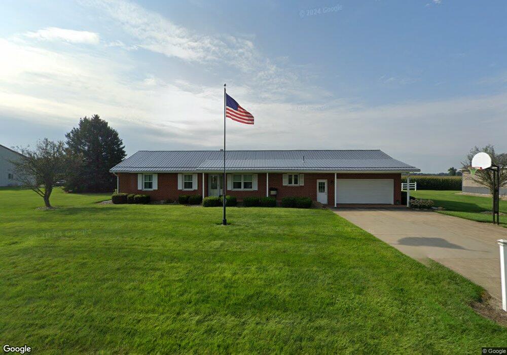
2659 Mount Zion Rd Bucyrus, OH 44820
Estimated Value: $191,000 - $364,000
3
Beds
1
Bath
1,680
Sq Ft
$153/Sq Ft
Est. Value
About This Home
This home is located at 2659 Mount Zion Rd, Bucyrus, OH 44820 and is currently estimated at $256,205, approximately $152 per square foot. 2659 Mount Zion Rd is a home located in Crawford County with nearby schools including Wynford Elementary School, Wynford High School, and CENTER FOR AUTISM / DYSLEXIA - BUCYRUS.
Ownership History
Date
Name
Owned For
Owner Type
Purchase Details
Closed on
Jul 24, 2015
Sold by
Grau Daniel C and Grau Gidget
Bought by
Auld Ronald D and Auld Kimberly D
Current Estimated Value
Purchase Details
Closed on
Feb 16, 2007
Sold by
Grau Richard C and Grau Karen B
Bought by
Grau Daniel C
Home Financials for this Owner
Home Financials are based on the most recent Mortgage that was taken out on this home.
Original Mortgage
$100,000
Interest Rate
6.27%
Create a Home Valuation Report for This Property
The Home Valuation Report is an in-depth analysis detailing your home's value as well as a comparison with similar homes in the area
Home Values in the Area
Average Home Value in this Area
Purchase History
| Date | Buyer | Sale Price | Title Company |
|---|---|---|---|
| Auld Ronald D | $165,000 | Old Crawford Land Title | |
| Grau Daniel C | -- | -- |
Source: Public Records
Mortgage History
| Date | Status | Borrower | Loan Amount |
|---|---|---|---|
| Previous Owner | Grau Daniel C | $100,000 |
Source: Public Records
Tax History Compared to Growth
Tax History
| Year | Tax Paid | Tax Assessment Tax Assessment Total Assessment is a certain percentage of the fair market value that is determined by local assessors to be the total taxable value of land and additions on the property. | Land | Improvement |
|---|---|---|---|---|
| 2024 | $2,692 | $72,650 | $3,850 | $68,800 |
| 2023 | $2,692 | $48,870 | $3,160 | $45,710 |
| 2022 | $2,178 | $48,870 | $3,160 | $45,710 |
| 2021 | $2,336 | $48,870 | $3,160 | $45,710 |
| 2020 | $1,638 | $36,970 | $3,160 | $33,810 |
| 2019 | $1,683 | $36,970 | $3,160 | $33,810 |
| 2018 | $1,721 | $36,970 | $3,160 | $33,810 |
| 2017 | $1,765 | $38,500 | $3,160 | $35,340 |
| 2016 | $1,470 | $32,000 | $3,160 | $28,840 |
| 2015 | $1,273 | $32,000 | $3,160 | $28,840 |
| 2014 | $1,512 | $34,170 | $3,160 | $31,010 |
| 2013 | $1,482 | $34,170 | $3,160 | $31,010 |
Source: Public Records
Map
Nearby Homes
- 1315 Lynne Ave
- 182 Williams St
- 452 Pleasant Ln
- 0 Lynne Ave
- 1123 Hillcrest Dr
- 1145 Lynne Ave
- 1211 S Sandusky Ave
- 1149 Farmview Dr
- 1112 Hillcrest Dr
- 2440 Wyandot Rd
- 1021 S Sandusky Ave
- 318 Charlotte St
- 900 S Spring St
- 275 Brentwood St
- 130 Brentwood St
- 419 Short St
- 708 S Sandusky Ave
- 1465 Oakridge Dr
- 325 W Liberty St
- 583 Rogers St
- 2711 Mount Zion Rd
- 2006 State Route 98
- 2019 State Route 98
- 2572 Mount Zion Rd
- 2543 Mount Zion Rd
- 2088 State Route 98
- 2096 State Route 98
- 1786 Street
- 2061 State Route 98
- 2108 State Route 98
- 2835 Mount Zion Rd
- 000 Mount Zion Rd
- 2130 State Route 98
- 2140 State Route 98
- 2148 State Route 98
- 1801 State Route 98
- 2156 State Route 98
- 2156 State Route 98
- 1786 State Route 98
- 2435 Mount Zion Rd