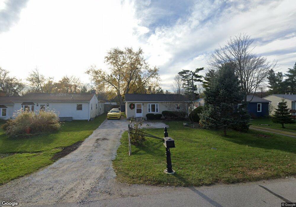
2659 Robbins Ct Port Huron, MI 48060
Estimated Value: $143,560 - $172,000
Studio
--
Bath
1,248
Sq Ft
$125/Sq Ft
Est. Value
About This Home
This home is located at 2659 Robbins Ct, Port Huron, MI 48060 and is currently estimated at $155,390, approximately $124 per square foot. 2659 Robbins Ct is a home located in St. Clair County with nearby schools including H.D. Crull Elementary School, Central Middle School, and Port Huron High School.
Ownership History
Date
Name
Owned For
Owner Type
Purchase Details
Closed on
Feb 3, 2026
Sold by
Mallorey Deanne M
Bought by
Mallorey Deanne M and Mallorey James P
Current Estimated Value
Purchase Details
Closed on
Aug 2, 2022
Sold by
Peterson Eric C
Bought by
Kusiak Deanne
Create a Home Valuation Report for This Property
The Home Valuation Report is an in-depth analysis detailing your home's value as well as a comparison with similar homes in the area
Home Values in the Area
Average Home Value in this Area
Purchase History
| Date | Buyer | Sale Price | Title Company |
|---|---|---|---|
| Mallorey Deanne M | -- | None Listed On Document | |
| Kusiak Deanne | -- | None Listed On Document |
Source: Public Records
Tax History
| Year | Tax Paid | Tax Assessment Tax Assessment Total Assessment is a certain percentage of the fair market value that is determined by local assessors to be the total taxable value of land and additions on the property. | Land | Improvement |
|---|---|---|---|---|
| 2025 | $740 | $59,300 | $0 | $0 |
| 2024 | $718 | $61,400 | $0 | $0 |
| 2023 | $663 | $56,800 | $0 | $0 |
| 2022 | $1,225 | $48,200 | $0 | $0 |
| 2020 | $1,121 | $39,400 | $39,400 | $0 |
| 2019 | $1,100 | $31,500 | $0 | $0 |
| 2018 | $1,075 | $31,500 | $0 | $0 |
| 2017 | $1,051 | $34,400 | $0 | $0 |
| 2016 | $570 | $34,400 | $0 | $0 |
| 2015 | -- | $34,300 | $34,300 | $0 |
| 2014 | -- | $32,600 | $32,600 | $0 |
| 2013 | -- | $31,600 | $0 | $0 |
Source: Public Records
Map
Nearby Homes
- 3255 Harrington Rd
- 0000 Manuel Street Manuel St
- 0000 Henry Street Henry St
- 2049 Henry St
- 0000 Campau Ave Campau Ave
- 00 Campau Ave
- 521 24th St
- 146 Taylor St
- 2940 Westland Dr
- 2335 Water St
- VACANT Howard St
- 1825 Kern St
- 1819 Kern St
- 0000 W Water St
- 1631 Wells St
- 3408 N Burwick Dr
- 2838 Elmwood St
- 1821 Pine St
- 3075 Westcott Dr
- 413 15th St
- 2669 Robbins Ct
- 2649 Robbins Ct
- 2679 Robbins Ct
- 2685 Robbins Ct
- 2654 Robbins Ct
- 2674 Robbins Ct
- 2642 Lewis Dr
- 2728 Lewis Dr
- 2650 Robbins Ct
- 2589 Robbins Ct
- 2720 Lewis Dr
- 2670 Lewis Dr
- 2602 Robbins Ct
- 2680 Robbins Ct
- 2585 Robbins Ct
- 2736 Lewis Dr
- 2640 Lewis Dr
- 2576 Robbins Ct
- 2573 Robbins Ct
- 2636 Lewis Dr
Your Personal Tour Guide
Ask me questions while you tour the home.