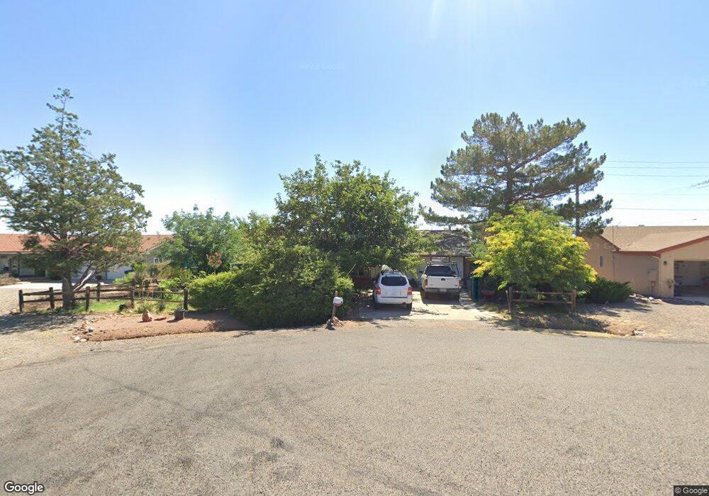
2659 S Cliff View Dr Cottonwood, AZ 86326
Estimated Value: $296,453 - $396,000
3
Beds
--
Bath
1,840
Sq Ft
$196/Sq Ft
Est. Value
About This Home
This home is located at 2659 S Cliff View Dr, Cottonwood, AZ 86326 and is currently estimated at $360,363, approximately $195 per square foot. 2659 S Cliff View Dr is a home located in Yavapai County with nearby schools including Dr Daniel Bright Elementary School, Cottonwood Elementary School, and Cottonwood Community School.
Ownership History
Date
Name
Owned For
Owner Type
Purchase Details
Closed on
Jan 28, 2005
Sold by
Goldfinger Investments Llc
Bought by
Lozano Angela M
Current Estimated Value
Home Financials for this Owner
Home Financials are based on the most recent Mortgage that was taken out on this home.
Original Mortgage
$159,900
Interest Rate
5.72%
Mortgage Type
New Conventional
Purchase Details
Closed on
Jul 7, 2003
Sold by
Maples Cole and M & I Marshall & Ilsley Bank
Bought by
Marken Ventures Llc
Purchase Details
Closed on
Sep 13, 2001
Sold by
Barbara Ann Selna Andre Childrens Irrevo
Bought by
Maples Cole
Home Financials for this Owner
Home Financials are based on the most recent Mortgage that was taken out on this home.
Original Mortgage
$85,000
Interest Rate
6.87%
Create a Home Valuation Report for This Property
The Home Valuation Report is an in-depth analysis detailing your home's value as well as a comparison with similar homes in the area
Home Values in the Area
Average Home Value in this Area
Purchase History
| Date | Buyer | Sale Price | Title Company |
|---|---|---|---|
| Lozano Angela M | $180,000 | Yavapai Title Agency Inc | |
| Goldfinger Investments Llc | -- | Yavapai Title Agency Inc | |
| Marken Ventures Llc | $100,000 | -- | |
| Maples Cole | -- | Capital Title Agency Inc |
Source: Public Records
Mortgage History
| Date | Status | Borrower | Loan Amount |
|---|---|---|---|
| Previous Owner | Lozano Angela M | $159,900 | |
| Previous Owner | Maples Cole | $85,000 |
Source: Public Records
Tax History Compared to Growth
Tax History
| Year | Tax Paid | Tax Assessment Tax Assessment Total Assessment is a certain percentage of the fair market value that is determined by local assessors to be the total taxable value of land and additions on the property. | Land | Improvement |
|---|---|---|---|---|
| 2026 | $1,761 | $31,322 | -- | -- |
| 2024 | $1,699 | $31,571 | -- | -- |
| 2023 | $1,699 | $25,161 | $0 | $0 |
| 2022 | $1,671 | $20,870 | $3,853 | $17,017 |
| 2021 | $1,717 | $19,857 | $4,052 | $15,805 |
| 2020 | $1,687 | $0 | $0 | $0 |
| 2019 | $1,658 | $0 | $0 | $0 |
| 2018 | $1,597 | $0 | $0 | $0 |
| 2017 | $1,532 | $0 | $0 | $0 |
| 2016 | $1,491 | $0 | $0 | $0 |
| 2015 | -- | $0 | $0 | $0 |
| 2014 | -- | $0 | $0 | $0 |
Source: Public Records
Map
Nearby Homes
- 2527 S Rio Verde Dr
- 2713 S Rio Verde Dr
- 4359 E Butte Dr
- 2780 S Rio Verde Dr
- 4249 E Vista Dr
- 2649 S Village Dr
- 4252 Canyon Trail
- 4253 E Mission Ln
- 2366 Eastern Dr
- 1750 Highway 260
- 2320 S Eastern Dr Unit 669
- 2319 S Eastern Dr Unit 670
- 2306 S Eastern Dr
- 2234 S Eastern Dr
- 2743 Yuma Cir
- 4000 E Mustang Dr
- 3619 Western Dr
- 0000 S Heritage Trail
- 4887 E Comanche Dr
- 2313 S Kachina Dr