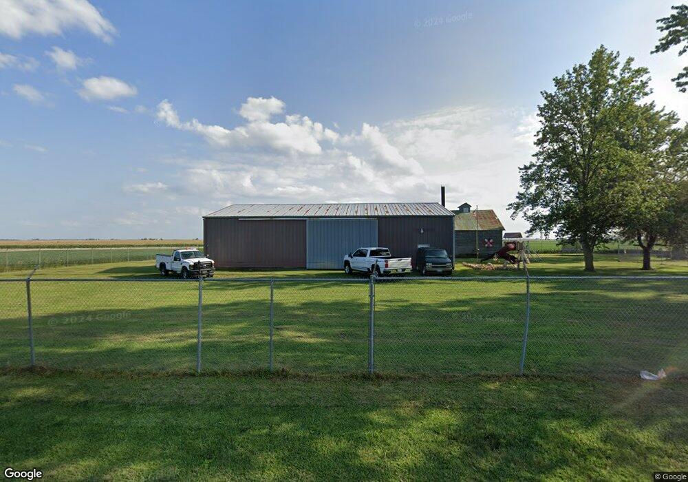
265E E Cr 1250n Atwood, IL 61913
Estimated Value: $53,837 - $198,000
Studio
--
Bath
280
Sq Ft
$415/Sq Ft
Est. Value
About This Home
This home is located at 265E E Cr 1250n, Atwood, IL 61913 and is currently estimated at $116,279, approximately $415 per square foot. 265E E Cr 1250n is a home with nearby schools including Atwood-Hammond Grade School.
Create a Home Valuation Report for This Property
The Home Valuation Report is an in-depth analysis detailing your home's value as well as a comparison with similar homes in the area
Tax History
| Year | Tax Paid | Tax Assessment Tax Assessment Total Assessment is a certain percentage of the fair market value that is determined by local assessors to be the total taxable value of land and additions on the property. | Land | Improvement |
|---|---|---|---|---|
| 2024 | $387 | $4,240 | $743 | $3,497 |
| 2023 | $373 | $3,807 | $667 | $3,140 |
| 2022 | $340 | $3,416 | $715 | $2,701 |
| 2021 | $329 | $3,257 | $682 | $2,575 |
| 2020 | $321 | $3,187 | $667 | $2,520 |
| 2019 | $319 | $3,187 | $667 | $2,520 |
| 2018 | $341 | $3,425 | $437 | $2,988 |
| 2015 | $297 | $2,224 | $400 | $1,824 |
| 2014 | $297 | $2,830 | $400 | $2,430 |
| 2013 | $312 | $2,602 | $401 | $2,201 |
| 2012 | $312 | $2,801 | $432 | $2,369 |
Source: Public Records
Map
Nearby Homes
- 209 W South St
- 1500 N Cr 150e
- 330 E Central Ave
- 000 N Illinois
- 503 N Missouri St
- 319 N Missouri St
- 222 S Iowa St
- 212 S Illinois St
- 215 S Missouri St
- 217 S Missouri St
- 3 Royal Ct
- 5 Royal Ct
- 2 Royal Ct
- 4 Royal Ct
- 39 US Highway 36
- 39 U S 36
- 1233 E 100 Rd N
- 86 County Road 575 E
- 1227 E 100 North Rd
- 730 E County Road 750 N
Your Personal Tour Guide
Ask me questions while you tour the home.