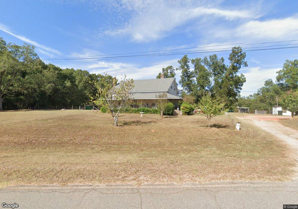
266 Alabama Rd the Rock, GA 30285
Estimated Value: $346,797 - $613,000
--
Bed
2
Baths
2,484
Sq Ft
$194/Sq Ft
Est. Value
About This Home
This home is located at 266 Alabama Rd, the Rock, GA 30285 and is currently estimated at $480,932, approximately $193 per square foot. 266 Alabama Rd is a home located in Pike County with nearby schools including Pike County Primary School, Pike County Elementary School, and Pike County Middle School.
Ownership History
Date
Name
Owned For
Owner Type
Purchase Details
Closed on
Aug 14, 2006
Sold by
Not Provided
Bought by
Lowe Frances A
Current Estimated Value
Purchase Details
Closed on
Feb 2, 1984
Sold by
Bank Of Zebulon
Bought by
Lowe Spencer M and Lowe Frances A
Purchase Details
Closed on
Aug 20, 1982
Bought by
Shumate Lonnie E and Shumate Shelia J
Create a Home Valuation Report for This Property
The Home Valuation Report is an in-depth analysis detailing your home's value as well as a comparison with similar homes in the area
Home Values in the Area
Average Home Value in this Area
Purchase History
| Date | Buyer | Sale Price | Title Company |
|---|---|---|---|
| Lowe Frances A | -- | -- | |
| Lowe Spencer M | $20,000 | -- | |
| Shumate Lonnie E | $36,900 | -- |
Source: Public Records
Tax History Compared to Growth
Tax History
| Year | Tax Paid | Tax Assessment Tax Assessment Total Assessment is a certain percentage of the fair market value that is determined by local assessors to be the total taxable value of land and additions on the property. | Land | Improvement |
|---|---|---|---|---|
| 2024 | $2,721 | $131,788 | $49,452 | $82,336 |
| 2023 | $3,193 | $131,788 | $49,452 | $82,336 |
| 2022 | $1,865 | $85,884 | $38,040 | $47,844 |
| 2021 | $1,470 | $70,764 | $22,920 | $47,844 |
| 2020 | $1,488 | $70,764 | $22,920 | $47,844 |
| 2019 | $1,266 | $58,304 | $22,920 | $35,384 |
| 2018 | $1,267 | $58,304 | $22,920 | $35,384 |
| 2017 | $1,254 | $58,304 | $22,920 | $35,384 |
| 2016 | $545 | $58,304 | $22,920 | $35,384 |
| 2015 | $525 | $58,304 | $22,920 | $35,384 |
| 2014 | $528 | $58,304 | $22,920 | $35,384 |
| 2013 | -- | $58,304 | $22,920 | $35,384 |
Source: Public Records
Map
Nearby Homes
- 63 Alabama Rd
- 1757 Alabama Rd
- 0 Bankston Rd
- 0 Bankston Rd Unit 10646721
- 0 Barnesville Hwy Unit 10548523
- 0 Alabama Rd Unit 22813063
- 1440 McCard Lake Rd
- 0 Stewart Rd
- 1907 Rocky Bottom Rd
- 297 Bishop Rd
- 561 Jugtown Rd
- 121 Sheppard Rd
- 928 Hwy 19
- 1243 US Hwy 19
- 3854 Us Hwy 19
- 34.61 ACRES Walker Rd
- 98 Mud Bridge Rd
- 28 Mud Bridge Rd
- 2566 U S 19
- 12471 Ga Highway 109
- 205 Alabama Rd
- 399 Alabama Rd
- 544 Alabama Rd
- 245 Alabama Rd
- 3054 Mud Bridge Rd
- 167 Alabama Rd
- 2042 Bankston Rd
- 3018 Mud Bridge Rd
- 0 Hay Rd Unit 7412609
- 0 Hay Rd Unit 8088412
- 0 Hay Rd Unit 8088396
- 0 Hay Rd Unit 8233617
- 0 Hay Rd Unit 8233625
- 0 Hay Rd Unit 8295183
- 0 Hay Rd Unit 8295180
- 0 Hay Rd Unit 8380709
- 0 Hay Rd Unit 8380721
- 0 Hay Rd Unit 8476940
- 2992 Mud Bridge Rd
- 3028 Vega Rd