266 Aspen Meadows Rd Driggs, ID 83422
Estimated Value: $706,581 - $823,000
3
Beds
1
Bath
1,456
Sq Ft
$515/Sq Ft
Est. Value
About This Home
This home is located at 266 Aspen Meadows Rd, Driggs, ID 83422 and is currently estimated at $750,145, approximately $515 per square foot. 266 Aspen Meadows Rd is a home located in Teton County with nearby schools including Driggs Elementary School, Teton High School, and The Learning Academy Of Teton Valley.
Ownership History
Date
Name
Owned For
Owner Type
Purchase Details
Closed on
May 3, 2010
Sold by
Johnson Larry and Johnson Kristin
Bought by
Johnson Ii Larry J and Johnson Kristin
Current Estimated Value
Home Financials for this Owner
Home Financials are based on the most recent Mortgage that was taken out on this home.
Original Mortgage
$313,600
Interest Rate
5.04%
Mortgage Type
New Conventional
Create a Home Valuation Report for This Property
The Home Valuation Report is an in-depth analysis detailing your home's value as well as a comparison with similar homes in the area
Home Values in the Area
Average Home Value in this Area
Purchase History
| Date | Buyer | Sale Price | Title Company |
|---|---|---|---|
| Johnson Ii Larry J | -- | -- |
Source: Public Records
Mortgage History
| Date | Status | Borrower | Loan Amount |
|---|---|---|---|
| Closed | Johnson Ii Larry J | $313,600 |
Source: Public Records
Tax History
| Year | Tax Paid | Tax Assessment Tax Assessment Total Assessment is a certain percentage of the fair market value that is determined by local assessors to be the total taxable value of land and additions on the property. | Land | Improvement |
|---|---|---|---|---|
| 2025 | $1,596 | $605,922 | $200,000 | $405,922 |
| 2024 | $1,526 | $590,922 | $185,000 | $405,922 |
| 2023 | $1,526 | $585,922 | $180,000 | $405,922 |
| 2022 | $1,529 | $478,563 | $140,000 | $338,563 |
| 2021 | $1,209 | $292,481 | $58,500 | $233,981 |
| 2020 | $1,221 | $238,417 | $58,500 | $179,917 |
| 2019 | $1,236 | $244,099 | $58,500 | $185,599 |
| 2018 | $1,125 | $220,084 | $54,600 | $165,484 |
| 2017 | $990 | $217,484 | $52,000 | $165,484 |
| 2016 | $844 | $179,799 | $39,000 | $140,799 |
| 2015 | $835 | $158,912 | $36,400 | $122,512 |
| 2011 | -- | $159,997 | $45,500 | $114,497 |
Source: Public Records
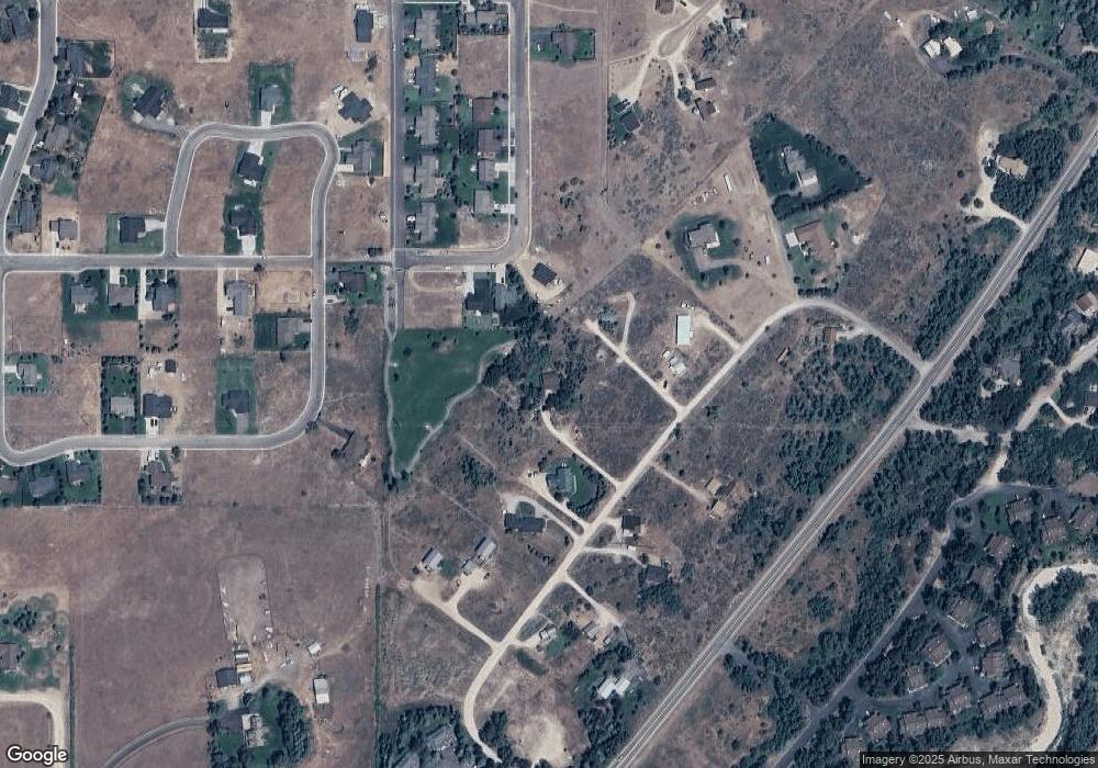
Map
Nearby Homes
- 200 Aspen Meadows Rd
- 1021 Farmers Trail
- 532 Palisade Trail
- 564 Palisade Trail
- 624 Easy St
- 135 Sagewood Dr
- 110 Sagewood Dr
- 570 Easy St
- 70 Baywood Dr
- 280 S 1000 E
- 1025 Cahuilla Rd
- 1045 Pawnee Rd
- 1046 Pawnee Rd
- 1202 Driggs Centre Dr
- TBD Ski Hill Rd
- 495 E Garnet Ave
- 201 E Ross Ave Unit B103
- 201 E Ross Ave Unit A103
- 1030 Iroquois Ave
- 1016 Iroquois Ave
- 351 Palisade Trail
- 363 Palisade Trail Unit ID1310760P
- 363 Palisade Trail
- 254 Aspen Meadows Rd
- 339 Palisade Trail
- 375 Palisade Trail
- 325 Palisade Trail
- 230 Aspen Meadows Rd
- 387 Palisade Trail
- 384 Palisade Trail
- 377 Booshway
- 397 Palisade Trail
- 1046 Dusty Trail
- 184 Aspen Meadows Rd
- 1082 Dusty Trail
- 389 Booshway
- 1042 Dusty Trail
- 411 Palisade Trail
- 350 Aspen Meadows Rd
- 184 Aspen Meadows Rd
Your Personal Tour Guide
Ask me questions while you tour the home.