266 Cedar Ridge Dr Sparta, GA 31087
Estimated Value: $326,667 - $716,000
--
Bed
--
Bath
1,740
Sq Ft
$287/Sq Ft
Est. Value
About This Home
This home is located at 266 Cedar Ridge Dr, Sparta, GA 31087 and is currently estimated at $500,167, approximately $287 per square foot. 266 Cedar Ridge Dr is a home with nearby schools including Lewis Elementary School, Hancock Central Middle School, and Hancock Central High School.
Ownership History
Date
Name
Owned For
Owner Type
Purchase Details
Closed on
Nov 3, 2015
Sold by
Syphoe Kenneth
Bought by
Key Corp Financial Inc
Current Estimated Value
Purchase Details
Closed on
Jul 31, 1995
Sold by
Brown Stephen Jr Tru
Bought by
Syphoe Kenneth and Syphoe Eta
Purchase Details
Closed on
Dec 17, 1994
Sold by
Brown Stephen W Etal
Bought by
Schultz Gregory Etal
Create a Home Valuation Report for This Property
The Home Valuation Report is an in-depth analysis detailing your home's value as well as a comparison with similar homes in the area
Home Values in the Area
Average Home Value in this Area
Purchase History
| Date | Buyer | Sale Price | Title Company |
|---|---|---|---|
| Key Corp Financial Inc | $32,000 | -- | |
| Syphoe Kenneth | $18,000 | -- | |
| Schultz Gregory Etal | $19,500 | -- |
Source: Public Records
Tax History Compared to Growth
Tax History
| Year | Tax Paid | Tax Assessment Tax Assessment Total Assessment is a certain percentage of the fair market value that is determined by local assessors to be the total taxable value of land and additions on the property. | Land | Improvement |
|---|---|---|---|---|
| 2024 | $2,376 | $73,228 | $32,000 | $41,228 |
| 2023 | $2,376 | $73,228 | $32,000 | $41,228 |
| 2022 | $2,335 | $73,228 | $32,000 | $41,228 |
| 2021 | $2,340 | $73,228 | $32,000 | $41,228 |
| 2020 | $2,342 | $73,228 | $32,000 | $41,228 |
| 2019 | $2,344 | $73,228 | $32,000 | $41,228 |
| 2018 | $2,287 | $73,228 | $32,000 | $41,228 |
| 2017 | $2,285 | $73,228 | $32,000 | $41,228 |
| 2016 | $2,287 | $73,228 | $32,000 | $41,228 |
| 2015 | -- | $73,228 | $32,000 | $41,228 |
| 2014 | -- | $73,228 | $32,000 | $41,228 |
| 2013 | -- | $73,228 | $32,000 | $41,228 |
Source: Public Records
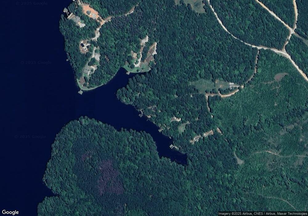
Map
Nearby Homes
- 274 S Steel Bridge Rd
- 271 S Steel Bridge Rd
- 545 S Steel Bridge Rd
- Lot 75 S Steel Bridge Rd
- Lot 77 S Steel Bridge Rd
- Lot 76 S Steel Bridge Rd
- 1071 Sandy Run Dr
- 184 S Steel Bridge Rd
- 188 S Steel Bridge Rd
- 766A S Steel Bridge Rd
- 438 S Steel Bridge Rd
- 945 Sandy Run Dr
- 4994 Lake Crest Dr
- 0 Harbour Pointe Dr Unit 10395908
- 0 Harbour Pointe Dr Unit 7471769
- 5020 Lakecrest Dr
- 5020 Lake Crest Dr
- 744 S Steel Bridge Rd
- 868 S Steel Bridge Rd
- LOT 9 Dogwood Dr
- 223 Cedar Ridge Dr
- 28 White Oak Ln
- 73 Shagbark Ln
- 91 Shagbark Ln
- 66 White Oak Ln Unit 47
- 271 Shagbark Ln
- 266 Shagbark Ct
- Lot 12 Shagbark Ct
- Lot 14 Shagbark Ct
- 0 Shagbark Ct Unit 7433952
- 0 Shagbark Ct Unit 3263242
- 0 Shagbark Ct
- 266 Shagbark Ln
- Lot 37 Shagbark Ln
- 0 Shagbark Point Dr
- 240 Shagbark Ln
- 240 Shagbark Ct
- 1 Shagbark Ct Unit 14
- 91 Post Oak Ridge
- 55 Post Oak Ridge