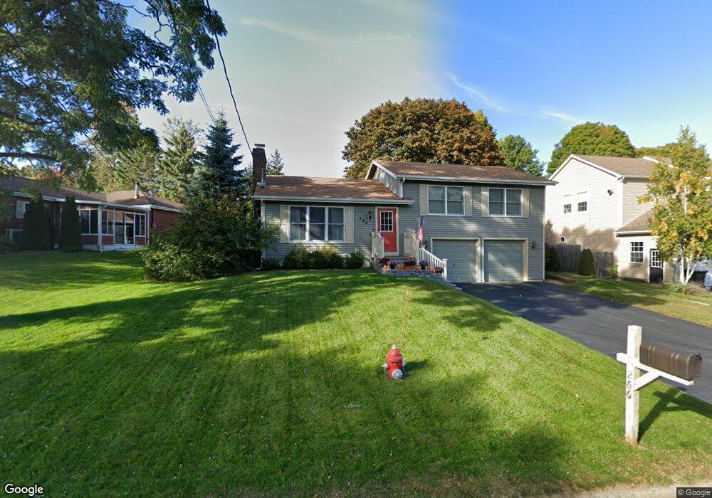
266 Champlain Dr Plattsburgh, NY 12901
Estimated Value: $297,000 - $364,000
3
Beds
2
Baths
1,844
Sq Ft
$175/Sq Ft
Est. Value
About This Home
This home is located at 266 Champlain Dr, Plattsburgh, NY 12901 and is currently estimated at $322,086, approximately $174 per square foot. 266 Champlain Dr is a home located in Clinton County with nearby schools including Peru Elementary School, Peru Jr./Sr. High School, and Lakeshore Christian School.
Ownership History
Date
Name
Owned For
Owner Type
Purchase Details
Closed on
Apr 5, 2013
Sold by
Favro Matthew
Bought by
Collyer Douglas
Current Estimated Value
Home Financials for this Owner
Home Financials are based on the most recent Mortgage that was taken out on this home.
Original Mortgage
$216,600
Outstanding Balance
$153,649
Interest Rate
3.58%
Mortgage Type
Purchase Money Mortgage
Estimated Equity
$168,437
Purchase Details
Closed on
Jun 25, 2009
Sold by
Bondurant Matthew
Bought by
Favro Matthew
Purchase Details
Closed on
Jun 26, 2007
Sold by
Lydon Edmund
Bought by
Bondurant Matthew
Home Financials for this Owner
Home Financials are based on the most recent Mortgage that was taken out on this home.
Original Mortgage
$167,200
Interest Rate
6.14%
Mortgage Type
Purchase Money Mortgage
Purchase Details
Closed on
Aug 30, 1995
Sold by
Mcginn Patrick O Mcginn Kelly
Bought by
Lydon Edmund L and Lydon Denise D
Create a Home Valuation Report for This Property
The Home Valuation Report is an in-depth analysis detailing your home's value as well as a comparison with similar homes in the area
Home Values in the Area
Average Home Value in this Area
Purchase History
| Date | Buyer | Sale Price | Title Company |
|---|---|---|---|
| Collyer Douglas | $228,000 | None | |
| Favro Matthew | $220,000 | Gary Favro | |
| Bondurant Matthew | $209,000 | William Favreau | |
| Lydon Edmund L | $113,500 | -- |
Source: Public Records
Mortgage History
| Date | Status | Borrower | Loan Amount |
|---|---|---|---|
| Open | Collyer Douglas | $216,600 | |
| Previous Owner | Bondurant Matthew | $167,200 |
Source: Public Records
Tax History
| Year | Tax Paid | Tax Assessment Tax Assessment Total Assessment is a certain percentage of the fair market value that is determined by local assessors to be the total taxable value of land and additions on the property. | Land | Improvement |
|---|---|---|---|---|
| 2024 | $6,542 | $284,500 | $33,100 | $251,400 |
| 2023 | $6,772 | $235,000 | $33,100 | $201,900 |
| 2022 | $6,634 | $235,000 | $33,100 | $201,900 |
| 2021 | $6,989 | $235,000 | $33,100 | $201,900 |
| 2020 | $6,761 | $225,000 | $33,100 | $191,900 |
| 2019 | $6,701 | $225,000 | $33,100 | $191,900 |
| 2018 | $6,701 | $225,000 | $33,100 | $191,900 |
| 2017 | $6,551 | $225,000 | $33,100 | $191,900 |
| 2016 | $6,421 | $225,000 | $33,100 | $191,900 |
| 2015 | -- | $225,000 | $33,100 | $191,900 |
| 2014 | -- | $225,000 | $33,100 | $191,900 |
Source: Public Records
Map
Nearby Homes
- 6 Deepdale Rd
- 02 Woodcliff Dr
- 01 Woodcliff Dr
- 03 Woodcliff Dr
- 19 Marie Dr
- 00 Wood Cliff Dr
- 24 Golf Course Rd
- 0 Bluff Point Dr Unit 178752
- 0 Bluff Point Dr Unit 178750
- 41 Bluff Point Dr
- 45 Bluff Point Dr
- 74 Bluff Point Dr
- 73 Bluff Point Dr
- 46 Bluff Point Dr
- 72 Bluff Point Dr
- 71 Bluff Point Dr
- 01 Bluff Point Dr
- 0 Windswept Ln
- 44 Bluff Point Dr
- 20 Louisiana Ave
Your Personal Tour Guide
Ask me questions while you tour the home.