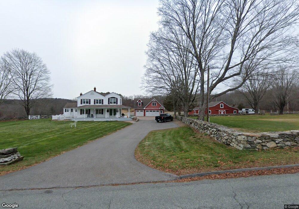
266 Hope Valley Rd Amston, CT 06231
Estimated Value: $492,000 - $660,000
3
Beds
2
Baths
2,354
Sq Ft
$243/Sq Ft
Est. Value
About This Home
This home is located at 266 Hope Valley Rd, Amston, CT 06231 and is currently estimated at $571,778, approximately $242 per square foot. 266 Hope Valley Rd is a home located in Tolland County with nearby schools including Gilead Hill School, Hebron Elementary School, and RHAM Middle School.
Ownership History
Date
Name
Owned For
Owner Type
Purchase Details
Closed on
Jan 5, 2000
Sold by
Joy Donald and Joy Kathleen
Bought by
Vanostrand Mark and Vanostrand Deborah
Current Estimated Value
Home Financials for this Owner
Home Financials are based on the most recent Mortgage that was taken out on this home.
Original Mortgage
$60,000
Interest Rate
7.73%
Create a Home Valuation Report for This Property
The Home Valuation Report is an in-depth analysis detailing your home's value as well as a comparison with similar homes in the area
Home Values in the Area
Average Home Value in this Area
Purchase History
| Date | Buyer | Sale Price | Title Company |
|---|---|---|---|
| Vanostrand Mark | $295,000 | -- |
Source: Public Records
Mortgage History
| Date | Status | Borrower | Loan Amount |
|---|---|---|---|
| Open | Vanostrand Mark | $70,000 | |
| Closed | Vanostrand Mark | $8,051 | |
| Closed | Vanostrand Mark | $60,000 | |
| Previous Owner | Vanostrand Mark | $47,000 |
Source: Public Records
Tax History Compared to Growth
Tax History
| Year | Tax Paid | Tax Assessment Tax Assessment Total Assessment is a certain percentage of the fair market value that is determined by local assessors to be the total taxable value of land and additions on the property. | Land | Improvement |
|---|---|---|---|---|
| 2025 | $9,235 | $250,600 | $87,430 | $163,170 |
| 2024 | $8,646 | $250,600 | $87,430 | $163,170 |
| 2023 | $8,317 | $250,600 | $87,430 | $163,170 |
| 2022 | $7,866 | $248,150 | $87,430 | $160,720 |
| 2021 | $8,190 | $225,420 | $87,410 | $138,010 |
| 2020 | $8,190 | $225,420 | $87,410 | $138,010 |
| 2019 | $8,352 | $225,420 | $87,410 | $138,010 |
| 2018 | $8,440 | $225,420 | $87,410 | $138,010 |
| 2017 | $8,341 | $225,420 | $87,410 | $138,010 |
| 2016 | $8,944 | $250,950 | $143,640 | $107,310 |
| 2015 | $9,027 | $250,740 | $143,640 | $107,100 |
| 2014 | $8,964 | $250,740 | $143,640 | $107,100 |
Source: Public Records
Map
Nearby Homes
- 218 Hope Valley Rd
- 40 Cannon Dr
- 65 Attawanhood Trail
- 25 Smith Farm Rd
- 233 Church St
- 47 Mill Landing Rd
- 14 Jeremy Way Unit 14
- 1 Church St
- 2 Church St
- 255 Millstream Rd
- 88 Highland Dr
- 0 Deepwood Dr
- 222 Gilead St
- 65 Wellswood Rd
- 14 Woodside Rd
- 64 Loveland Rd
- 2 Lots on Deepwood Dr
- 185 Deepwood Dr
- 465 Old Slocum Rd
- 00 Zola Rd
- 276 Hope Valley Rd
- 344 Hope Valley Rd
- 265 Hope Valley Rd
- 242 Hope Valley Rd
- 282 Hope Valley Rd
- 257 Hope Valley Rd
- 250 Hope Valley Rd
- 340 Hope Valley Rd
- 249 Hope Valley Rd
- 310 Hope Valley Rd
- 356 Hope Valley Rd
- 330 Hope Valley Rd
- 237 Hope Valley Rd
- 243 Hope Valley Rd
- 283 Hope Valley Rd
- 229 Hope Valley Rd
- 299 Hope Valley Rd
- 311 Hope Valley Rd
- 225 Hope Valley Rd
- 291 Hope Valley Rd