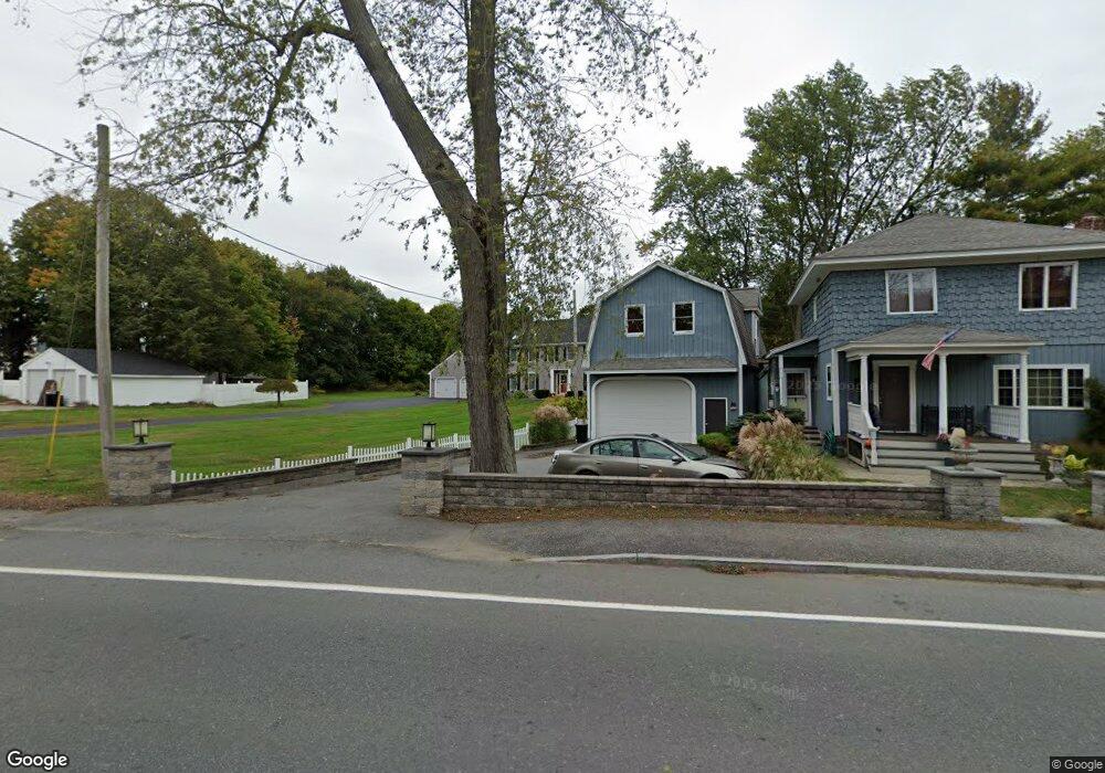
266 Howe St Methuen, MA 01844
The North End NeighborhoodEstimated Value: $902,000 - $1,040,000
4
Beds
4
Baths
4,102
Sq Ft
$235/Sq Ft
Est. Value
About This Home
This home is located at 266 Howe St, Methuen, MA 01844 and is currently estimated at $964,474, approximately $235 per square foot. 266 Howe St is a home located in Essex County with nearby schools including Methuen High School and Saint Monica School.
Ownership History
Date
Name
Owned For
Owner Type
Purchase Details
Closed on
Jul 24, 2015
Sold by
Lough William and Lough Patricia J
Bought by
Tongol Mario and Tongol Trisha L
Current Estimated Value
Home Financials for this Owner
Home Financials are based on the most recent Mortgage that was taken out on this home.
Original Mortgage
$360,000
Outstanding Balance
$277,464
Interest Rate
4.01%
Mortgage Type
New Conventional
Estimated Equity
$687,010
Create a Home Valuation Report for This Property
The Home Valuation Report is an in-depth analysis detailing your home's value as well as a comparison with similar homes in the area
Home Values in the Area
Average Home Value in this Area
Purchase History
We collect this data history from publicly available records. To have your information removed, we recommend requesting removal directly through your county’s website.
| Date | Buyer | Sale Price | Title Company |
|---|---|---|---|
| Tongol Mario | $450,000 | -- |
Source: Public Records
Mortgage History
We collect this data history from publicly available records. To have your information removed, we recommend requesting removal directly through your county’s website.
| Date | Status | Borrower | Loan Amount |
|---|---|---|---|
| Open | Tongol Mario | $360,000 |
Source: Public Records
Tax History
| Year | Tax Paid | Tax Assessment Tax Assessment Total Assessment is a certain percentage of the fair market value that is determined by local assessors to be the total taxable value of land and additions on the property. | Land | Improvement |
|---|---|---|---|---|
| 2025 | $8,804 | $832,100 | $298,300 | $533,800 |
| 2024 | $8,629 | $794,600 | $261,000 | $533,600 |
| 2023 | $8,313 | $710,500 | $229,800 | $480,700 |
| 2022 | $7,885 | $604,200 | $188,400 | $415,800 |
| 2021 | $7,422 | $562,700 | $178,100 | $384,600 |
| 2020 | $7,353 | $547,100 | $178,100 | $369,000 |
| 2019 | $7,409 | $522,100 | $167,700 | $354,400 |
| 2018 | $7,068 | $495,300 | $157,300 | $338,000 |
| 2017 | $6,823 | $465,700 | $155,600 | $310,100 |
| 2016 | $6,662 | $449,800 | $145,300 | $304,500 |
| 2015 | -- | $434,500 | $145,300 | $289,200 |
Source: Public Records
Map
Nearby Homes
- 24 Hampstead St
- 6 Geramat Way
- 27 Mary Lou St
- 9 Balmoral Dr
- 7 Tree Top Way
- 2 Hitching Post Ln
- 13 Fairways Ln
- 19 Elane Ave
- 3 Adams Ave
- 108 Druid Hill Ave
- 31 Fairways Ln
- 11 Brookside Ct
- 99 Pond St
- 38 Phoebe St Unit 102
- 40 Phoebe St Unit 101
- 7 Hummingbird Way Unit 150
- 2 Liam's Ln
- 45 Washington St Unit 90
- 2 Hummingbird Way Unit 1
- 15 Cardinal Rd Unit 15
- 268 Howe St
- 270 Howe St
- 262 Howe St
- 4 Stoney Brook Rd
- 11 Hampstead St
- 11 Hampstead St Unit 104
- 11 Hampstead St Unit 102
- 11 Hampstead St Unit 204
- 11 Hampstead St Unit 202
- 11 Hampstead St Unit 101
- 11 Hampstead St Unit 203
- 11 Hampstead St Unit 201
- 11 Hampstead St Unit 103
- 272 Howe St
- 4 Stoneybrook Rd
- 6 Stoney Brook Rd
- 258 Howe St
- 287 Howe St
- 265 Howe St
- 17 Hampstead St Unit 1
Your Personal Tour Guide
Ask me questions while you tour the home.