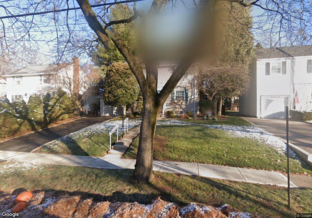
266 Kensington Rd River Edge, NJ 07661
Estimated Value: $808,000 - $831,000
--
Bed
--
Bath
1,530
Sq Ft
$537/Sq Ft
Est. Value
About This Home
This home is located at 266 Kensington Rd, River Edge, NJ 07661 and is currently estimated at $821,401, approximately $536 per square foot. 266 Kensington Rd is a home located in Bergen County with nearby schools including Cherry Hill School, River Dell Middle School, and River Dell Regional High School.
Ownership History
Date
Name
Owned For
Owner Type
Purchase Details
Closed on
May 25, 2000
Sold by
Flanders Donald H and Flanders Ethel P
Bought by
Lyons William James and Lyons Maryjane Frances
Current Estimated Value
Home Financials for this Owner
Home Financials are based on the most recent Mortgage that was taken out on this home.
Original Mortgage
$341,000
Outstanding Balance
$117,805
Interest Rate
8.14%
Estimated Equity
$703,596
Create a Home Valuation Report for This Property
The Home Valuation Report is an in-depth analysis detailing your home's value as well as a comparison with similar homes in the area
Home Values in the Area
Average Home Value in this Area
Purchase History
| Date | Buyer | Sale Price | Title Company |
|---|---|---|---|
| Lyons William James | $359,000 | -- |
Source: Public Records
Mortgage History
| Date | Status | Borrower | Loan Amount |
|---|---|---|---|
| Open | Lyons William James | $341,000 |
Source: Public Records
Tax History Compared to Growth
Tax History
| Year | Tax Paid | Tax Assessment Tax Assessment Total Assessment is a certain percentage of the fair market value that is determined by local assessors to be the total taxable value of land and additions on the property. | Land | Improvement |
|---|---|---|---|---|
| 2025 | $14,774 | $639,000 | $347,400 | $291,600 |
| 2024 | $14,405 | $372,600 | $200,600 | $172,000 |
| 2023 | $13,786 | $372,600 | $200,600 | $172,000 |
| 2022 | $13,786 | $372,600 | $200,600 | $172,000 |
| 2021 | $13,514 | $372,600 | $200,600 | $172,000 |
| 2020 | $13,302 | $372,600 | $200,600 | $172,000 |
| 2019 | $12,922 | $372,600 | $200,600 | $172,000 |
| 2018 | $12,650 | $372,600 | $200,600 | $172,000 |
| 2017 | $12,527 | $372,600 | $200,600 | $172,000 |
| 2016 | $12,244 | $372,600 | $200,600 | $172,000 |
| 2015 | $11,987 | $372,600 | $200,600 | $172,000 |
| 2014 | $12,009 | $372,600 | $200,600 | $172,000 |
Source: Public Records
Map
Nearby Homes
- 215 Kensington Rd
- 276 Greenway Terrace
- 168 Voorhis Ave
- 302 Howland Ave
- 1 Sipporta Ln
- 189 Forest Ave Unit 409
- 189 Forest Ave Unit 303
- 150 Village Cir E
- 421 Lafayette Ave
- 378 Windsor Rd
- 122 Village Cir E
- 212 Lozier Terrace
- 712 6th Ave
- 81 Eastbrook Dr
- 12 Gainesborough Terrace Unit 1B
- 293 Bogert Rd Unit 1A
- 42 Eastbrook Dr
- 761 6th Ave
- 766 7th Ave
- 192 Valley Rd
- 260 Kensington Rd
- 270 Kensington Rd
- 256 Kensington Rd
- 464 5th Ave
- 267 Voorhis Ave
- 263 Voorhis Ave
- 271 Voorhis Ave
- 259 Voorhis Ave
- 250 Kensington Rd
- 474 5th Ave
- 265 Kensington Rd
- 269 Kensington Rd
- 259 Kensington Rd
- 255 Voorhis Ave
- 452 5th Ave
- 255 Kensington Rd
- 246 Kensington Rd
- 249 Kensington Rd
- 251 Voorhis Ave
- 465 5th Ave