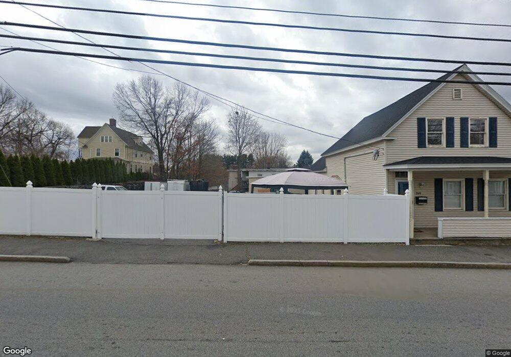
266 Mammoth Rd Lowell, MA 01854
Pawtucketville NeighborhoodEstimated Value: $519,000 - $627,000
4
Beds
2
Baths
1,720
Sq Ft
$334/Sq Ft
Est. Value
About This Home
This home is located at 266 Mammoth Rd, Lowell, MA 01854 and is currently estimated at $574,646, approximately $334 per square foot. 266 Mammoth Rd is a home located in Middlesex County with nearby schools including Joseph McAvinnue Elementary School, Charlotte M. Murkland Elementary School, and Charles W. Morey Elementary School.
Ownership History
Date
Name
Owned For
Owner Type
Purchase Details
Closed on
Apr 5, 2011
Sold by
Sideman Christopher R
Bought by
Lowell City Of
Current Estimated Value
Purchase Details
Closed on
Aug 24, 2007
Sold by
Desousa Renee P and Desousa Richard C
Bought by
Sideman Christopher R
Home Financials for this Owner
Home Financials are based on the most recent Mortgage that was taken out on this home.
Original Mortgage
$191,500
Interest Rate
6.78%
Mortgage Type
Purchase Money Mortgage
Purchase Details
Closed on
Jun 30, 1998
Sold by
Usa Va
Bought by
Desousa Renee P and Desousa Richard C
Purchase Details
Closed on
Sep 12, 1997
Sold by
Coon Gifford
Bought by
Usa Va
Purchase Details
Closed on
Jun 30, 1994
Sold by
Viera Donald J and Viera Marie
Bought by
Coon Gifford
Create a Home Valuation Report for This Property
The Home Valuation Report is an in-depth analysis detailing your home's value as well as a comparison with similar homes in the area
Home Values in the Area
Average Home Value in this Area
Purchase History
| Date | Buyer | Sale Price | Title Company |
|---|---|---|---|
| Lowell City Of | $3,759 | -- | |
| Lowell City Of | $3,759 | -- | |
| Sideman Christopher R | $269,000 | -- | |
| Sideman Christopher R | $269,000 | -- | |
| Desousa Renee P | $129,700 | -- | |
| Desousa Renee P | $129,700 | -- | |
| Usa Va | $86,460 | -- | |
| Usa Va | $86,460 | -- | |
| Coon Gifford | $99,000 | -- | |
| Coon Gifford | $99,000 | -- |
Source: Public Records
Mortgage History
| Date | Status | Borrower | Loan Amount |
|---|---|---|---|
| Previous Owner | Coon Gifford | $200,000 | |
| Previous Owner | Sideman Christopher R | $191,500 |
Source: Public Records
Tax History Compared to Growth
Tax History
| Year | Tax Paid | Tax Assessment Tax Assessment Total Assessment is a certain percentage of the fair market value that is determined by local assessors to be the total taxable value of land and additions on the property. | Land | Improvement |
|---|---|---|---|---|
| 2025 | $5,786 | $504,000 | $170,200 | $333,800 |
| 2024 | $5,380 | $451,700 | $137,300 | $314,400 |
| 2023 | $4,983 | $401,200 | $112,100 | $289,100 |
| 2022 | $4,683 | $369,000 | $99,200 | $269,800 |
| 2021 | $4,368 | $324,500 | $86,300 | $238,200 |
| 2020 | $4,513 | $337,800 | $111,600 | $226,200 |
| 2019 | $4,232 | $301,400 | $98,100 | $203,300 |
| 2018 | $4,081 | $283,600 | $93,400 | $190,200 |
| 2017 | $3,896 | $261,100 | $84,900 | $176,200 |
| 2016 | $3,694 | $243,700 | $82,600 | $161,100 |
| 2015 | $3,529 | $228,000 | $79,100 | $148,900 |
| 2013 | $3,242 | $216,000 | $87,300 | $128,700 |
Source: Public Records
Map
Nearby Homes
- 49 Tolman Ave
- 61 7th Ave W
- 33 W Meadow Rd
- 107 7th Ave
- 81 5th Ave
- 30 4th Ave
- 113 5th Ave
- 25 W 5th Ave
- 25 Shea St Unit 8
- 382 University Ave
- 380 University Ave
- 89 Mammoth Rd
- 10 3rd Ave
- 1410 Skyline Dr Unit 9
- 1710 Skyline Dr Unit 10
- 1600 Skyline Dr Unit 2
- 2200 Skyline Dr Unit 5
- 43 3rd Ave
- 149 Woodward Ave
- 10 Clinton Ave