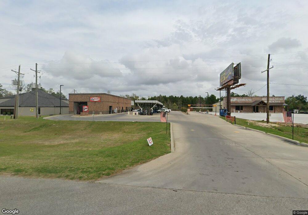
266 N Highway 171 Lake Charles, LA 70611
Moss Bluff NeighborhoodEstimated Value: $503,446
--
Bed
--
Bath
6,850
Sq Ft
$73/Sq Ft
Est. Value
About This Home
This home is located at 266 N Highway 171, Lake Charles, LA 70611 and is currently estimated at $503,446, approximately $73 per square foot. 266 N Highway 171 is a home located in Calcasieu Parish with nearby schools including Graham & Parks Alternative Public School, Moss Bluff Elementary School, and Putnam Avenue Upper School.
Ownership History
Date
Name
Owned For
Owner Type
Purchase Details
Closed on
Aug 18, 2025
Sold by
R & Y Properties Llc
Bought by
D-Omega Enterprises Llc
Current Estimated Value
Home Financials for this Owner
Home Financials are based on the most recent Mortgage that was taken out on this home.
Original Mortgage
$1,080,000
Outstanding Balance
$1,079,070
Interest Rate
6.75%
Mortgage Type
New Conventional
Estimated Equity
-$575,624
Purchase Details
Closed on
Jul 10, 2013
Sold by
Peet Terry Brent and Peet Michelle
Bought by
R & Y Properties Llc
Create a Home Valuation Report for This Property
The Home Valuation Report is an in-depth analysis detailing your home's value as well as a comparison with similar homes in the area
Home Values in the Area
Average Home Value in this Area
Purchase History
| Date | Buyer | Sale Price | Title Company |
|---|---|---|---|
| D-Omega Enterprises Llc | $703,372 | Armor Title | |
| R & Y Properties Llc | $335,000 | None Available |
Source: Public Records
Mortgage History
| Date | Status | Borrower | Loan Amount |
|---|---|---|---|
| Open | D-Omega Enterprises Llc | $1,080,000 |
Source: Public Records
Tax History Compared to Growth
Tax History
| Year | Tax Paid | Tax Assessment Tax Assessment Total Assessment is a certain percentage of the fair market value that is determined by local assessors to be the total taxable value of land and additions on the property. | Land | Improvement |
|---|---|---|---|---|
| 2024 | $9,342 | $85,560 | $12,210 | $73,350 |
| 2023 | $9,197 | $85,560 | $12,210 | $73,350 |
| 2022 | $9,040 | $85,560 | $12,210 | $73,350 |
| 2021 | $9,487 | $85,560 | $12,210 | $73,350 |
| 2020 | $7,652 | $70,280 | $11,600 | $58,680 |
| 2019 | $9,227 | $84,450 | $11,100 | $73,350 |
| 2018 | $9,244 | $84,450 | $11,100 | $73,350 |
| 2017 | $9,371 | $84,450 | $11,100 | $73,350 |
| 2016 | $1,764 | $84,450 | $11,100 | $73,350 |
| 2015 | $1,764 | $84,450 | $11,100 | $73,350 |
Source: Public Records
Map
Nearby Homes
- 201 Armistead Ln
- 179 Armistead Ln
- 628 Victory Way
- 179 Sam Houston Jones Pkwy
- 211 Senator Ln
- 231 N Presidential Cir
- 298 S Presidential Cir
- 850 Koonce Rd
- 0 Parish Rd Unit 45-679
- 0 Parish Rd Unit SWL24004393
- 0 Vickie Ln
- 276 School St
- 521 Josh St
- 926 Theriot Rd
- 964 Theriot Rd
- 670 Abby Ln
- 419 You Winn Rd
- 357 White Oak Dr
- 983 Green Rd
- 752 S Tillie Rd
- 266 U S 171
- 258 Hwy 171 Hwy
- 222 N Hwy 171
- 338 U S 171
- 250 N Highway 171
- 250 U S 171
- 239 N Highway 171
- 260 Armistead Ln
- 340 N Highway 171 N
- 340 N Hwy 171 Hwy
- 271 N Highway 171 Unit 700
- 271 N Highway 171
- 271 N Hwy 171 Hwy
- 271 N Hwy 171 Hwy
- 340 U S 171
- 271 N 171 Hwy
- 226 Armistead Ln
- 244 Armistead Ln
- 188 N Highway 171
- 188 N Hwy 171 Hwy