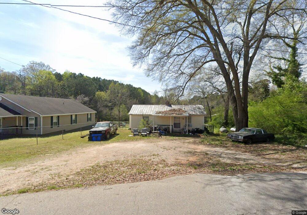
266 N Kight Dr Lagrange, GA 30240
Estimated Value: $48,000 - $171,000
1
Bed
1
Bath
1,030
Sq Ft
$84/Sq Ft
Est. Value
About This Home
This home is located at 266 N Kight Dr, Lagrange, GA 30240 and is currently estimated at $86,782, approximately $84 per square foot. 266 N Kight Dr is a home located in Troup County with nearby schools including Ethel W. Kight Elementary School, Hollis Hand Elementary School, and Franklin Forest Elementary School.
Ownership History
Date
Name
Owned For
Owner Type
Purchase Details
Closed on
Mar 11, 2014
Sold by
Hairston Ruben
Bought by
Delaney Stephanie
Current Estimated Value
Home Financials for this Owner
Home Financials are based on the most recent Mortgage that was taken out on this home.
Original Mortgage
$8,351
Interest Rate
4.3%
Mortgage Type
New Conventional
Purchase Details
Closed on
Dec 5, 1996
Sold by
John G Potts
Bought by
Hairston Ruben
Purchase Details
Closed on
Feb 21, 1975
Sold by
Swanson C H
Bought by
John G Potts
Purchase Details
Closed on
Jan 1, 1973
Sold by
Clara Cofield
Bought by
Swanson C H
Purchase Details
Closed on
Jan 1, 1955
Bought by
Clara Cofield
Create a Home Valuation Report for This Property
The Home Valuation Report is an in-depth analysis detailing your home's value as well as a comparison with similar homes in the area
Home Values in the Area
Average Home Value in this Area
Purchase History
| Date | Buyer | Sale Price | Title Company |
|---|---|---|---|
| Delaney Stephanie | $15,000 | -- | |
| Hairston Ruben | $4,500 | -- | |
| John G Potts | -- | -- | |
| Swanson C H | -- | -- | |
| Clara Cofield | -- | -- |
Source: Public Records
Mortgage History
| Date | Status | Borrower | Loan Amount |
|---|---|---|---|
| Closed | Delaney Stephanie | $8,351 |
Source: Public Records
Tax History Compared to Growth
Tax History
| Year | Tax Paid | Tax Assessment Tax Assessment Total Assessment is a certain percentage of the fair market value that is determined by local assessors to be the total taxable value of land and additions on the property. | Land | Improvement |
|---|---|---|---|---|
| 2024 | $352 | $12,920 | $1,480 | $11,440 |
| 2023 | $269 | $9,880 | $1,480 | $8,400 |
| 2022 | $263 | $9,440 | $1,480 | $7,960 |
| 2021 | $224 | $7,440 | $1,480 | $5,960 |
| 2020 | $224 | $7,440 | $1,480 | $5,960 |
| 2019 | $218 | $7,240 | $1,480 | $5,760 |
| 2018 | $203 | $6,720 | $1,480 | $5,240 |
| 2017 | $203 | $6,720 | $1,480 | $5,240 |
| 2016 | $224 | $7,435 | $1,500 | $5,935 |
| 2015 | $181 | $6,000 | $1,211 | $4,789 |
| 2014 | $216 | $7,122 | $1,500 | $5,622 |
| 2013 | -- | $7,572 | $1,500 | $6,072 |
Source: Public Records
Map
Nearby Homes
- 101 Crown St Unit LOT 5
- The Rhodes Plan at Crown Street Cottages
- The Truitt Plan at Crown Street Cottages
- The Callaway Plan at Crown Street Cottages
- 102 Crown St Unit LOT 1
- 802 Monroe St
- 205 Grady St
- 167 S Kight Dr
- 608 Wilburn Ave
- 610 Wilburn Ave
- 202 Parker Ln
- 109 Garfield St
- 102 Parker St
- 107 Clark St
- 612 S Lee St
- 211 Moores Hill
- 0 Moores Hill
- 701 Jefferson St
- 507 S Lee St
- 517 Jefferson St