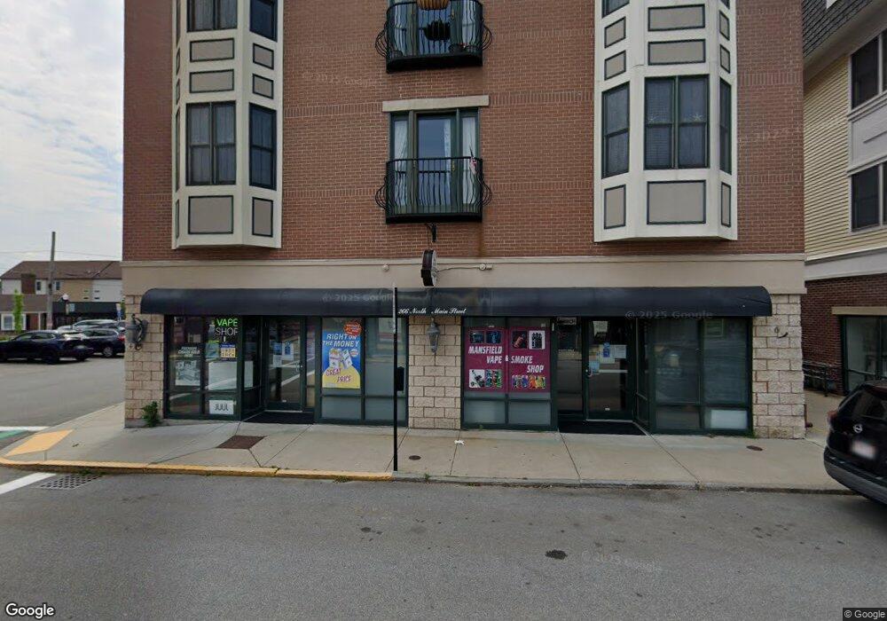
266 N Main St Unit 4 Mansfield, MA 02048
Estimated Value: $426,000 - $456,000
2
Beds
2
Baths
979
Sq Ft
$445/Sq Ft
Est. Value
About This Home
This home is located at 266 N Main St Unit 4, Mansfield, MA 02048 and is currently estimated at $435,905, approximately $445 per square foot. 266 N Main St Unit 4 is a home located in Bristol County with nearby schools including Everett W. Robinson Elementary School, Jordan/Jackson Elementary School, and Harold L. Qualters Middle School.
Ownership History
Date
Name
Owned For
Owner Type
Purchase Details
Closed on
Dec 13, 2022
Sold by
Mahoney Mariann M
Bought by
Mama Mahones Irt and Mahoney
Current Estimated Value
Purchase Details
Closed on
Mar 25, 2005
Sold by
Cp Rt and Crugnale
Bought by
Mahoney Mariann M
Home Financials for this Owner
Home Financials are based on the most recent Mortgage that was taken out on this home.
Original Mortgage
$170,900
Interest Rate
5.56%
Mortgage Type
Purchase Money Mortgage
Create a Home Valuation Report for This Property
The Home Valuation Report is an in-depth analysis detailing your home's value as well as a comparison with similar homes in the area
Home Values in the Area
Average Home Value in this Area
Purchase History
| Date | Buyer | Sale Price | Title Company |
|---|---|---|---|
| Mama Mahones Irt | -- | None Available | |
| Mahoney Mariann M | $265,900 | -- |
Source: Public Records
Mortgage History
| Date | Status | Borrower | Loan Amount |
|---|---|---|---|
| Previous Owner | Mahoney Mariann M | $170,900 |
Source: Public Records
Tax History
| Year | Tax Paid | Tax Assessment Tax Assessment Total Assessment is a certain percentage of the fair market value that is determined by local assessors to be the total taxable value of land and additions on the property. | Land | Improvement |
|---|---|---|---|---|
| 2025 | $5,151 | $391,100 | $0 | $391,100 |
| 2024 | $4,736 | $350,800 | $0 | $350,800 |
| 2023 | $4,505 | $319,700 | $0 | $319,700 |
| 2022 | $4,495 | $296,300 | $0 | $296,300 |
| 2021 | $3,713 | $241,700 | $0 | $241,700 |
| 2020 | $3,539 | $230,400 | $0 | $230,400 |
| 2019 | $3,619 | $237,800 | $0 | $237,800 |
| 2018 | $3,576 | $229,700 | $0 | $229,700 |
| 2017 | $3,370 | $224,400 | $0 | $224,400 |
| 2016 | $3,107 | $201,600 | $0 | $201,600 |
| 2015 | $3,365 | $217,100 | $0 | $217,100 |
Source: Public Records
Map
Nearby Homes
- 266 N Main St Unit 3
- 150 Rumford Ave Unit 110
- 22 Pleasant St Unit C
- 28 Court St
- 81 Chilson Ave
- 73-75 Draper Ave
- 44 Fairfield Park Unit 44
- 166 Chauncy St
- 152 Central St
- 46 Hope St
- 619 N Main St
- 4 Concetta Cir
- 356 Central St
- 1 Deer Path Ln
- 460 Ware St
- 571 Ware St
- 14 Windchime Dr
- 233 Central St
- 261 East St
- 4 Erick Rd Unit 90
- 266 N Main St Unit 8
- 266 N Main St Unit 7
- 266 N Main St Unit 6
- 266 N Main St Unit 5
- 266 N Main St Unit 1
- 266 N Mainst Unit 7,1
- 270 N Main St Unit 101
- 270 N Main St Unit 406
- 270 N Main St Unit 405
- 270 N Main St Unit 404
- 270 N Main St Unit 16
- 270 N Main St Unit 402
- 270 N Main St Unit 401
- 270 N Main St Unit 13
- 270 N Main St Unit 305
- 270 N Main St Unit 304
- 270 N Main St Unit 303
- 270 N Main St Unit 302
- 270 N Main St Unit 301
- 270 N Main St Unit 7
Your Personal Tour Guide
Ask me questions while you tour the home.