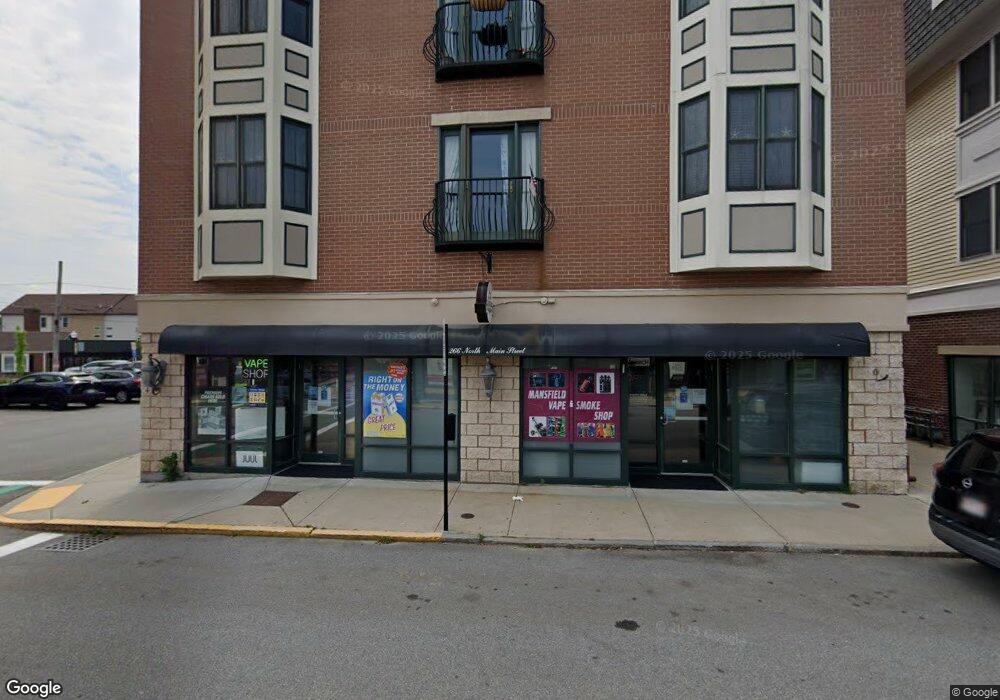
266 N Main St Unit 6 Mansfield, MA 02048
Estimated Value: $428,000 - $466,000
2
Beds
2
Baths
1,039
Sq Ft
$425/Sq Ft
Est. Value
About This Home
This home is located at 266 N Main St Unit 6, Mansfield, MA 02048 and is currently estimated at $441,326, approximately $424 per square foot. 266 N Main St Unit 6 is a home located in Bristol County with nearby schools including Everett W. Robinson Elementary School, Jordan/Jackson Elementary School, and Harold L. Qualters Middle School.
Ownership History
Date
Name
Owned For
Owner Type
Purchase Details
Closed on
Feb 9, 2018
Sold by
Saccoccio Angela J
Bought by
Wasserman Jarod
Current Estimated Value
Home Financials for this Owner
Home Financials are based on the most recent Mortgage that was taken out on this home.
Original Mortgage
$217,000
Outstanding Balance
$183,779
Interest Rate
3.99%
Mortgage Type
New Conventional
Estimated Equity
$257,547
Purchase Details
Closed on
Mar 21, 2005
Sold by
Cp Rt
Bought by
Saccoccio Angela J and Wassermann Jarod
Create a Home Valuation Report for This Property
The Home Valuation Report is an in-depth analysis detailing your home's value as well as a comparison with similar homes in the area
Home Values in the Area
Average Home Value in this Area
Purchase History
| Date | Buyer | Sale Price | Title Company |
|---|---|---|---|
| Wasserman Jarod | -- | -- | |
| Saccoccio Angela J | $285,000 | -- |
Source: Public Records
Mortgage History
| Date | Status | Borrower | Loan Amount |
|---|---|---|---|
| Open | Wasserman Jarod | $217,000 |
Source: Public Records
Tax History Compared to Growth
Tax History
| Year | Tax Paid | Tax Assessment Tax Assessment Total Assessment is a certain percentage of the fair market value that is determined by local assessors to be the total taxable value of land and additions on the property. | Land | Improvement |
|---|---|---|---|---|
| 2025 | $5,105 | $387,600 | $0 | $387,600 |
| 2024 | $4,694 | $347,700 | $0 | $347,700 |
| 2023 | $4,464 | $316,800 | $0 | $316,800 |
| 2022 | $4,454 | $293,600 | $0 | $293,600 |
| 2021 | $3,679 | $239,500 | $0 | $239,500 |
| 2020 | $3,508 | $228,400 | $0 | $228,400 |
| 2019 | $3,587 | $235,700 | $0 | $235,700 |
| 2018 | $3,544 | $227,600 | $0 | $227,600 |
| 2017 | $3,340 | $222,400 | $0 | $222,400 |
| 2016 | $3,079 | $199,800 | $0 | $199,800 |
| 2015 | $3,334 | $215,100 | $0 | $215,100 |
Source: Public Records
Map
Nearby Homes
- 150 Rumford Ave Unit 110
- 22 Pleasant St Unit C
- 28 Court St
- 82 Brook St
- 166 Chauncy St
- 28 Angell St
- 44 Angell St Unit 44
- 277 Central St
- 619 N Main St
- 356 Central St
- 12 Spring St
- 414 Branch St
- 631 East St Unit E203
- 442 Ware St
- 460 Ware St
- 261 East St
- 6 Erick Rd Unit 73
- 711 Ware St
- 151 Stearns Ave
- 1 Revere Dr
- 266 N Main St Unit 8
- 266 N Main St Unit 7
- 266 N Main St Unit 5
- 266 N Main St Unit 4
- 266 N Main St Unit 3
- 266 N Main St Unit 1
- 266 N Mainst Unit 7,1
- 270 N Main St Unit 101
- 270 N Main St Unit 406
- 270 N Main St Unit 405
- 270 N Main St Unit 404
- 270 N Main St Unit 16
- 270 N Main St Unit 402
- 270 N Main St Unit 401
- 270 N Main St Unit 13
- 270 N Main St Unit 305
- 270 N Main St Unit 304
- 270 N Main St Unit 303
- 270 N Main St Unit 302
- 270 N Main St Unit 301